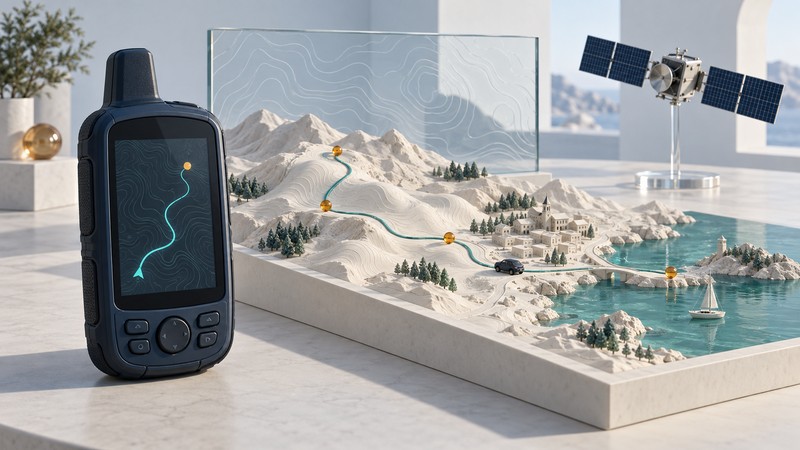
Find a navigation setup that fits the trip, practice navigation skills, check location data and understand the systems behind the result. Explore practical guides, satellite technology explainers and documented histories of devices and location platforms.
Hiking, wearables and golf
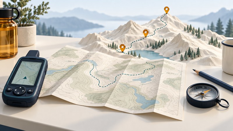
GPS Navigation Guide: Practice with Maps, Coordinates, and Waypoints
Practice reading maps, entering coordinates, saving waypoints and interpreting tracks on a short familiar route.
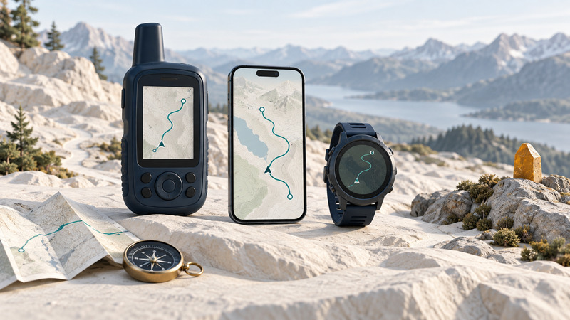
Choosing a Hiking GPS: Phone, Handheld, or Watch
Choose and test a hiking navigation setup around offline maps, terrain, controls, power and independent backups.
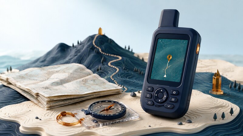
Handheld GPS: Preparing Maps, Waypoints, and Field Navigation
Prepare maps, waypoints, coordinate formats, controls and field power before using a handheld receiver.

GPS Watches: Accuracy, Recording Modes, and Navigation
Choose recording and satellite modes, interpret pace and distance, and test watch navigation.

Golf GPS: Yardages, Course Maps, and Device Choices
Choose a golf GPS, interpret front/center/back and pin distances, and check course data and permitted event settings.
Driving and phone navigation

Choosing Driving Navigation: Apps, Built-in Systems, and GPS
Compare driving navigation by offline coverage, map updates, traffic connections, readability and actual trip needs.
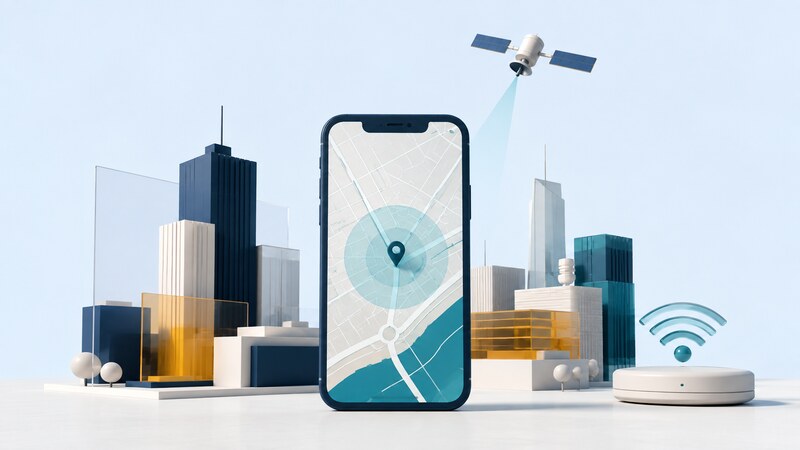
GPS on Phones: Location Accuracy and Troubleshooting
Diagnose stale positions, missing maps and unreliable tracks by separating reception, permissions and app behavior.
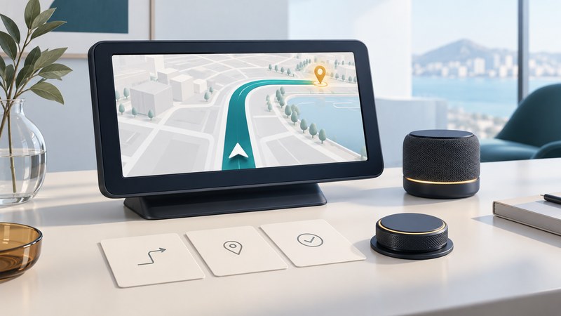
Easy-to-Use GPS: A Practical Usability Test
Compare navigation interfaces with a parked trial of destination entry, readable instructions, audio, route changes and recovery.

Car GPS Troubleshooting: Position, Maps, and Route Errors
Diagnose car navigation by separating position, map, destination, route, connectivity and power problems.
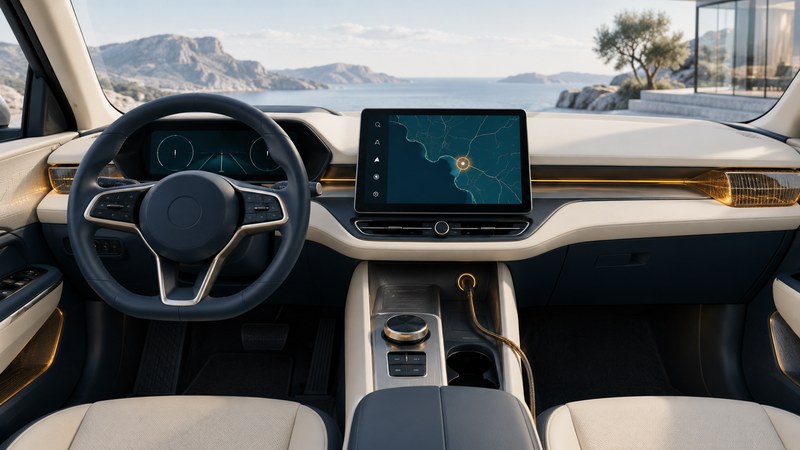
Dashboard Navigation: Installation and Integration Checks
Plan dashboard navigation around display placement, power, audio and vehicle compatibility, then verify the installed system.
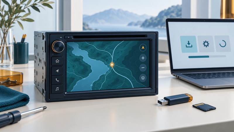
Kenwood Navigation: Maps, Firmware, and Compatibility
Find the exact Kenwood navigation model and region, distinguish firmware from maps, and verify a supported update.
Marine navigation and fishing
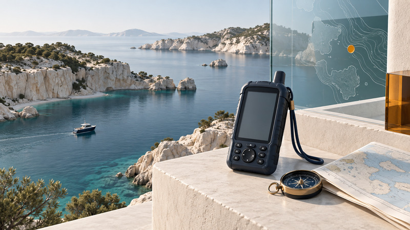
Marine GPS: Charts, Waypoints, and Backup Navigation
Prepare recreational marine navigation with suitable charts, reviewed route legs, explicit settings, tested power and backups.
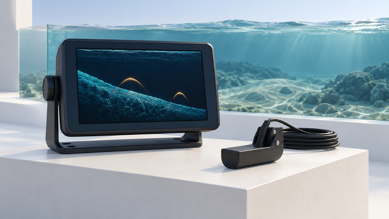
Garmin Fish Finders: Sonar, Waypoints, and Charting
Identify compatible fishfinder hardware, interpret sonar history, save intended waypoints and diagnose common setup problems.

Garmin Chartplotters: Compatibility, Upgrades, and Data Migration
Inventory a Garmin marine system, verify accessory and chart compatibility, back up user data and test an upgrade.
Field mapping and precise positioning
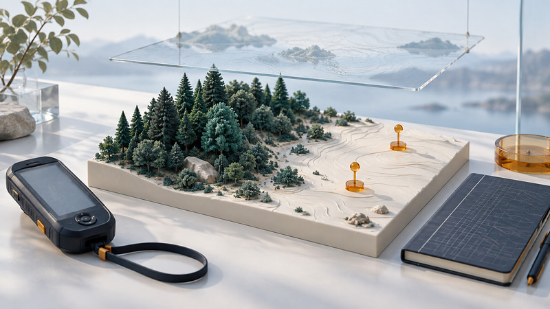
Reliable GPS for Field Mapping and Conservation
Collect repeatable conservation locations with coordinate references, observation metadata, quality flags and independent checks.
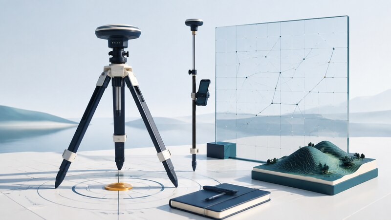
GPS Surveying: Reference Systems, Field Records, and Quality Checks
Connect survey observations to coordinate references, antenna setup, independent checks and reproducible deliverables.
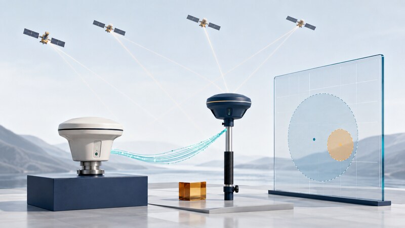
Differential GPS: DGNSS, RTK, PPP, and Correction Services
Compare DGNSS, RTK, PPP and correction services through their reference data, connections and verification needs.

Construction GPS
Connect GNSS, RTK, machine control, digital models and field verification across construction tasks.
Tracking assets and sending location alerts
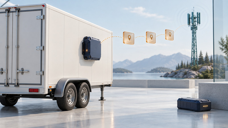
Battery-Powered Asset Tracking: Coverage, Intervals, and Trials
Specify asset-tracking requirements, separate recorded positions from uploads, and test coverage, delay and battery assumptions.
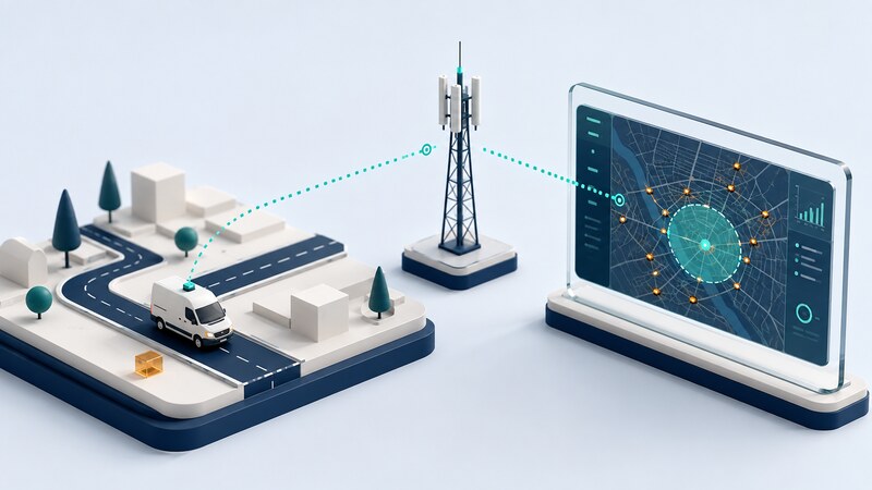
GPS Vehicle Tracking: Reports, Geofences, and Data Quality
Interpret vehicle reports, geofences, position timestamps and delayed messages in a tracking platform.
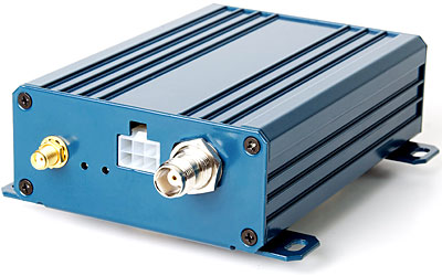
Location Messaging
Design actionable location alerts around events, freshness, sensors, recipients, coverage and data handling.
Receiver selection and maintenance
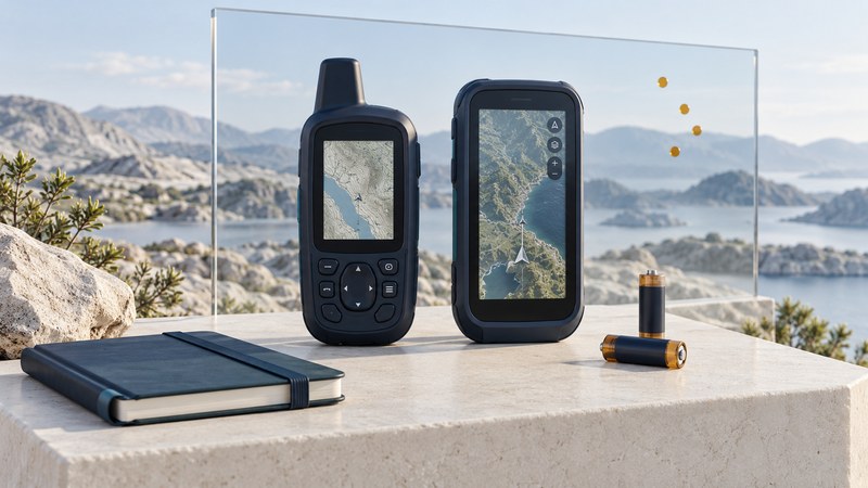
GPS Quality: How to Evaluate a Receiver
Evaluate GPS receivers through repeatable observations, usability, power trials, physical condition and documented support.
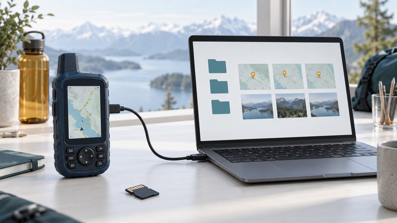
Garmin GPS: Identify, Update, and Back Up Your Device
Identify a Garmin handheld, preserve its waypoints and tracks, select its documented update route and verify the result.
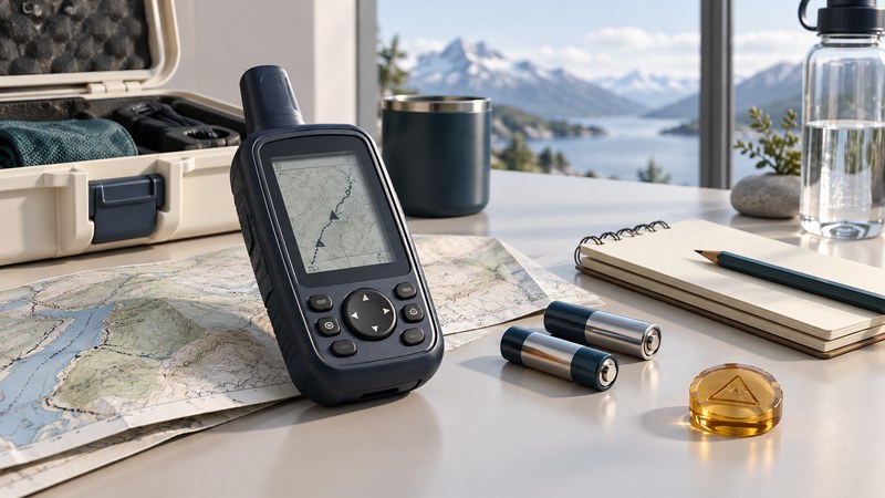
Older Magellan GPS: Keep, Restore, or Replace?
Assess an older Magellan receiver, preserve valuable locations and decide whether to keep, repair or replace it.
Receivers, signals and location data
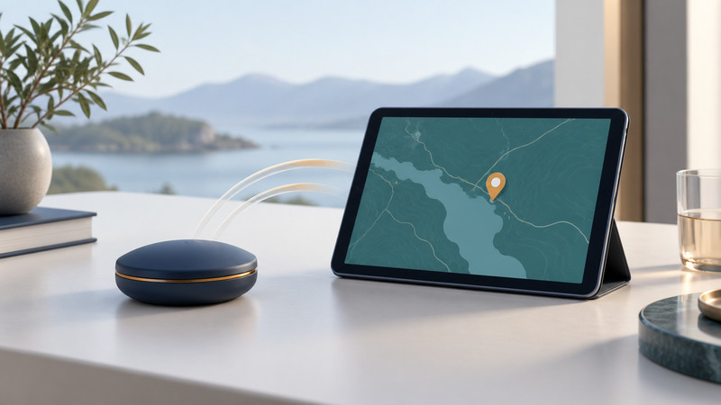
Bluetooth GPS Receivers: Compatibility, Setup, and Troubleshooting
Verify an external GNSS receiver from Bluetooth pairing through app input, saved records and loss-of-connection behavior.
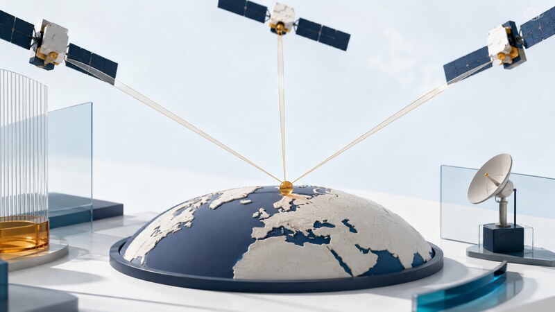
GPS Systems: How Satellite Positioning Works
Understand satellites, timing, receiver calculations and the factors that turn a position fix into useful navigation.
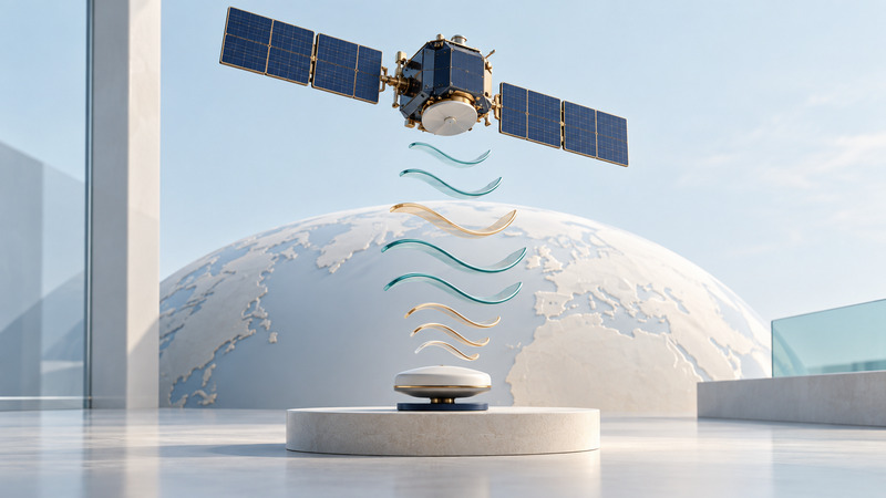
GPS Signal Modernization: L2C, L5, L1C, and Receiver Benefits
Interpret GPS signal specifications, distinguish frequencies from constellations, and check deployment and service claims with dated sources.
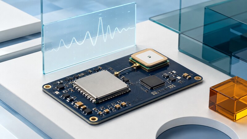
GPS Chipsets and GNSS Modules: Selection and Integration
Evaluate GNSS chipsets and modules through antennas, power, interfaces, firmware and complete-system tests.
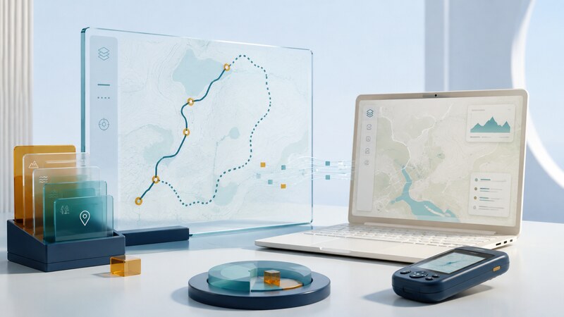
GPS Software: Maps, Tracks, and Location Data
Inspect, convert and share maps, tracks and location files while preserving coordinates, times and data meaning.
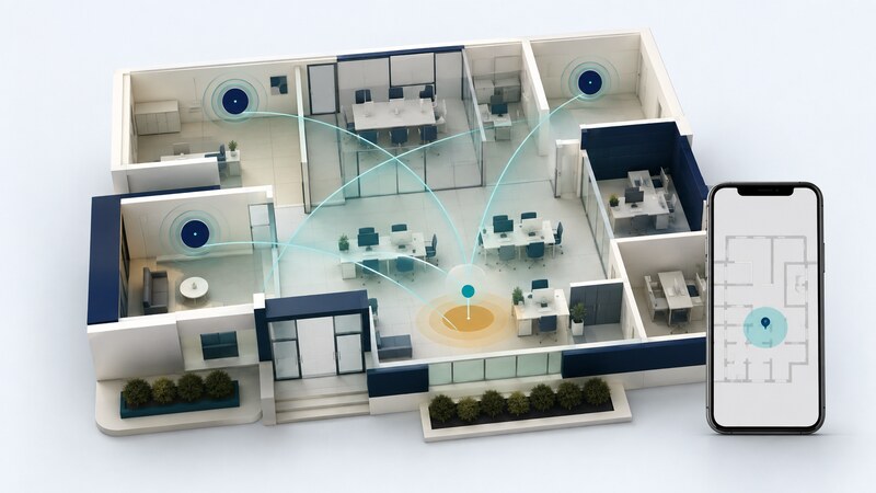
Wi-Fi Positioning: Location Databases, Fingerprinting, and RTT
Distinguish Wi-Fi location databases, fingerprinting and RTT, and evaluate indoor-positioning results.

GPS Technologies: 10 Practical Uses (2026)
Explore ten uses of satellite positioning and timing, with the supporting systems and limitations of each.
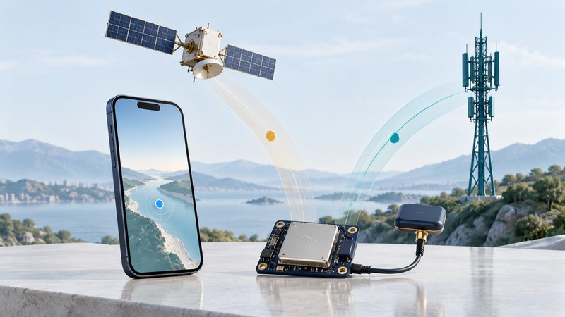
Qualcomm GPS: Assisted GNSS and Phone Positioning
Understand Qualcomm assisted GNSS, product-specific capabilities and the difference between satellite measurements and an app location.
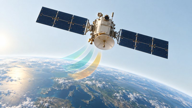
GPS IIF: Its Role in Satellite Navigation Modernization
Understand GPS IIF launch history, L5 modernization and the separate checks needed to interpret present satellite status.
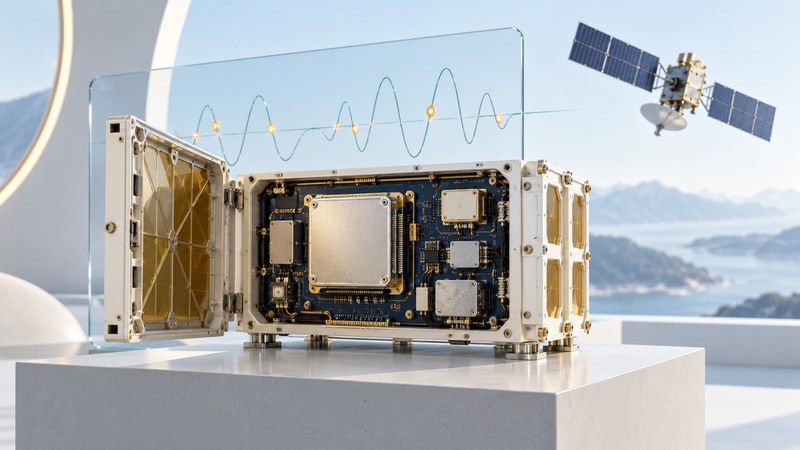
GPS Navigation Payloads: Clocks, Data, and Signal Integrity
Explain GPS navigation payloads and mission data units, distinguish component milestones and evaluate timing and integrity claims.
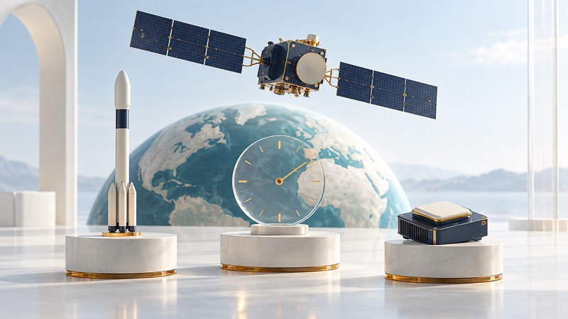
GPS III Launches: From Liftoff to Usable Navigation Signals
Understand GPS III launch and commissioning milestones, separate satellite status from signal status, and follow official navigation notices.
Historical devices and location platforms
Explore how earlier PDAs, receiver cards, location platforms and GPS/TV devices worked, with practical methods for interpreting their documentation and dependencies.
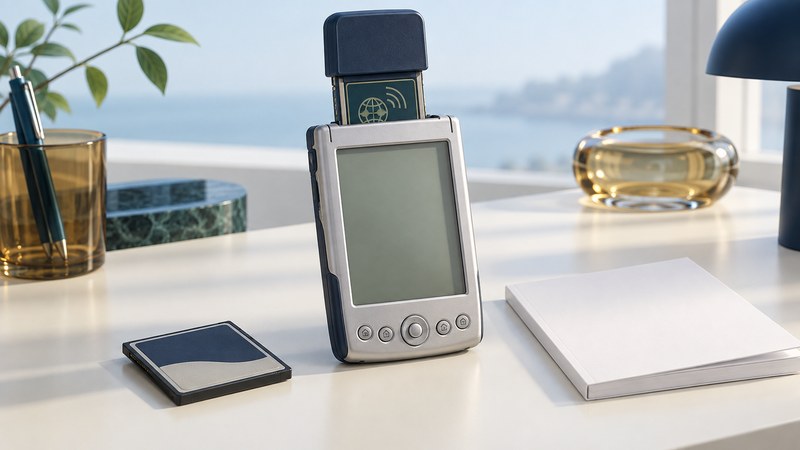
CompactFlash GPS: How Pocket PCs Became Navigators
Identify the receiver, Pocket PC, driver, map and communications dependencies in a legacy CompactFlash GPS setup.
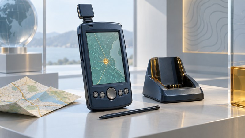
Garmin iQue 3600: GPS and the Palm PDA Era
Understand the Garmin iQue 3600’s organizer and navigation integration, inventory a specimen and plan data preservation.
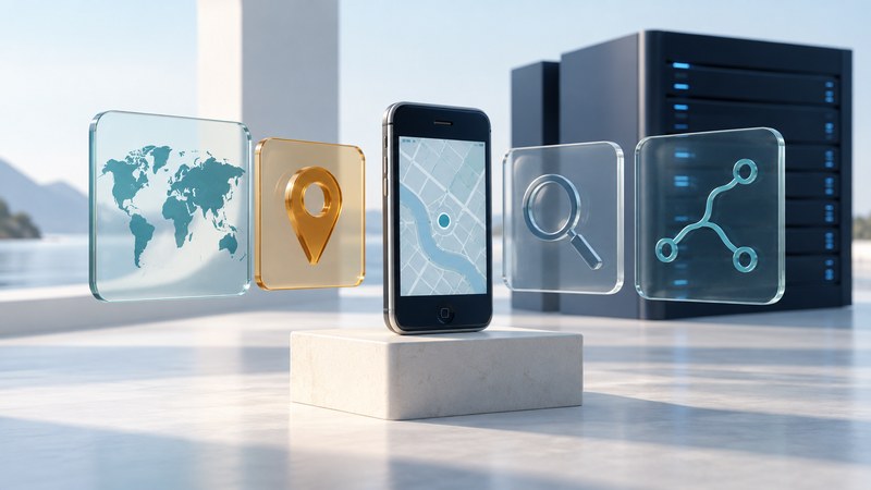
Samsung bada Geoservices: Maps, Search, Routing, and Platform Lifecycles
Understand maps, search, geocoding and routing through the historical Samsung bada and deCarta partnership.
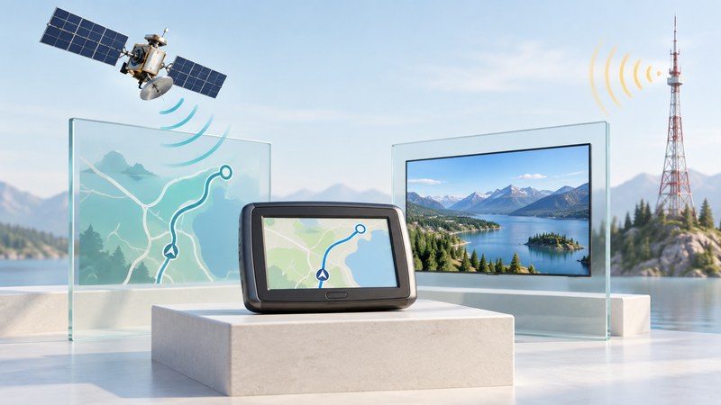
GPS and Mobile Digital TV: Why Navigation Devices Added Broadcast Receivers
Understand GPS/TV navigation devices, identify tuner variants and compare historical specifications with local broadcast requirements.
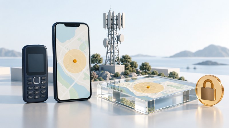
Veriplace: Carrier Location Services and Their Dependencies
Use Veriplace’s historical carrier-location model to evaluate authorization, data freshness, uncertainty and service dependencies.