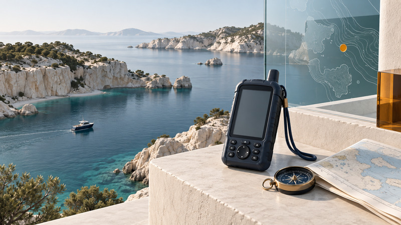
A marine GPS setup combines a position receiver, usable chart information, power and an operator who can interpret the display. Start by matching the charts and equipment to the waters you plan to use. Then verify route details and backup arrangements before departure. A handheld, fixed chartplotter and tablet can each have a role when their limitations are understood.
This guide addresses preparation for recreational boating. Required equipment and procedures depend on the vessel, waters and jurisdiction; check the relevant authority and equipment manuals for your trip.
Separate position from chart information
The receiver estimates where you are. The chart supplies the surrounding information: shoreline, depths, obstructions, aids to navigation and other features. The display combines them. A position can look precise on a chart that lacks the detail, currency or coverage needed for the next part of the trip.
NOAA explains that electronic navigational charts are vector data and that electronic chart systems differ from certified ECDIS equipment used in regulated shipping. See its chart-system FAQ. For recreational equipment, establish exactly which chart product and format the device supports. The ability to view an online chart does not establish that the file can be installed on your plotter.
| Check | Record before departure | Why it matters |
|---|---|---|
| Chart identity | Product, region, edition or update date | Establishes what data you are using |
| Detailed coverage | Departure, destination, approaches and alternatives | A regional overview may omit useful harbor detail |
| Depth display | Units, chart datum and relevant tide information | Charted depth and water depth at the time are different quantities |
| Device settings | Position format, north reference and alarms in use | Makes readings interpretable across equipment |
| Backup | Independent chart access, power and navigation method | Provides a way to continue assessing position after a failure |
NOAA's ENC scale explanation distinguishes overview, coastal, approach and harbor purposes. Zooming enlarges what is present; it cannot create a survey detail that the chart data lacks.
Review a route leg by leg
Create the route in advance and inspect each leg at useful chart scales. Check that it stays in appropriate water for the vessel and conditions, then inspect turns, destination approaches and alternatives. A straight line connecting two waypoints can cross land, shoals or restricted water. Automated route suggestions also need an operator's review.
Consult the responsible hydrographic authority's updates and local navigation notices. In U.S. waters, USCG Local Notices to Mariners provide a place to check reported changes. Review relevant tide and current information for the actual date and place; a saved route does not preserve the water conditions of an earlier voyage.
Illustrative planning check: two waypoints lie in open water, but the straight segment between them cuts across a headland. Both coordinates may be correctly entered. The problem is the connecting leg. Inspecting only the endpoints would miss it. Rework the route using appropriate current charts and local conditions, then review every new leg.
Match the device to its role
A fixed display can offer a convenient helm view and supported vessel-network functions. A handheld provides separate equipment and may be easier to carry between boats. A tablet can provide a large planning view when the app, offline charts, protection and power arrangement fit the environment. Test brightness, controls and mounting in the intended role.
Treat water ratings and battery claims as model-specific. For example, the GPSMAP 79s/sc manual specifications list up to 19 hours and both IPX6 at unit level and IPX7. Those details belong to that product and its documented conditions. Consult its manual for batteries, covers and care; avoid transferring a seller's feature list to a different model.
If the task is replacing a Garmin display while retaining accessories and saved data, use the Garmin chartplotter upgrade guide. It addresses compatibility rather than voyage planning.
Check headings, coordinates and power
Distinguish heading from course over ground. Heading describes the direction the bow points; course over ground describes movement over the earth. Wind and current can make them differ. At low speed, review which sensor supplies a direction display and how the manual instructs you to use it. Keep true and magnetic references explicit when comparing equipment.
Practice reading and communicating coordinates in the same format. Decimal degrees and degrees with decimal minutes express a position differently. Record the format alongside any shared waypoint and check the hemisphere. See handheld GPS coordinate preparation for a worked conversion example.
Test the actual navigation configuration at the dock: obtain a position, open the required chart, inspect the planned route, verify settings and establish spare-power arrangements. Charge and protect backup devices independently where practical. Navigation GPS, distress signaling and communications are separate capabilities; check each as part of the vessel's preparation.
Use a repeatable departure record
The marine GPS preparation checklist records chart identity, route review, settings, power and backups. It is a navigation-equipment aid, not a complete vessel safety checklist. If a display or chart disagrees with visible conditions, slow or stop as appropriate to the situation and resolve the discrepancy with available navigation information before relying on the disputed route.
Keep the preparation record with the equipment, refresh it when charts or software change, and confirm that another person who may use the setup can find the same information.