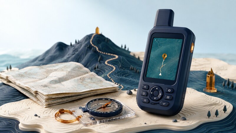
A handheld GPS or GNSS receiver provides position information in a portable device designed for field use. Some models emphasize buttons, replaceable batteries, rugged construction, or operation with gloves; others offer touchscreens, larger maps, or additional communications features.
A dedicated receiver is useful when its particular strengths fit the outing. A phone can also provide capable navigation. Compare complete setups, including maps, controls, power, and backup methods, rather than assuming that one device category is always more accurate.
Compare the equipment you will actually carry
| Need | What to compare | What to try before leaving |
|---|---|---|
| Readable information | Screen size, contrast, and map detail. | Read a junction and coordinate in expected lighting. |
| Usable controls | Buttons, touchscreen, gloves, and wet-weather operation. | Mark a waypoint and change screens with your normal equipment. |
| Enough operating time | Battery type, recording mode, and display use. | Measure consumption during a representative test. |
| Useful maps | Coverage, contours, paths, and licensing. | Open the required area without connectivity. |
| Recoverable information | Track storage, exports, and backup navigation. | Save and reopen a track; locate an independent map reference. |
Prepare a short local practice route
Begin somewhere familiar where you can compare the display with known features. Load the map and any intended route. Check that the route is for the correct activity and that its source is appropriate; a line on a map does not establish current access or passability.
Mark a start waypoint with a recognizable name. Confirm the coordinate display format, map reference, and distance units. Start a new track recording and check that it is collecting points rather than appending unnoticed to an earlier trip.
For national parks, the National Park Service app offers downloadable park information and maps on supported phones. Use the relevant park's current information alongside your device, and verify the functions available offline before departure.
Worked example: communicate the coordinate format
Typing 39.18 instead of converting 39 degrees 18 minutes produces a different location. When exchanging coordinates, state the format and reference system explicitly, then read them back. A recipient should not have to guess whether a number represents degrees, minutes, or projected meters.
Practice entering the same fictional point in the formats supported by the receiver and confirming that the resulting position is unchanged. This exercise teaches data entry; it is not a destination or a route recommendation.
Use the receiver alongside the surroundings
Allow the device to establish a usable position and inspect the available quality information. Compare the map with recognizable terrain and signs. A receiver may report a fix under trees or near rock faces while its uncertainty is worse than on open ground.
Distinguish a bearing toward a waypoint from a route around obstacles. A direct-to arrow points toward a coordinate; it does not choose a passable path. Likewise, a recorded track describes where someone or something was recorded, not a guarantee of current conditions.
Course over ground comes from movement. A compass heading may come from a separate sensor and can be affected by nearby metal or magnetic sources. Follow the manufacturer's calibration instructions where applicable, and recognize which heading the screen is using.
Record decision points and compare them with the intended route. Keep a map-and-compass backup you know how to use and a power plan suited to the outing. If the position and surroundings disagree, stop to reconcile them rather than following the display blindly.
Review the track and the equipment afterward
Save the completed track with a clear name and date. Export a copy and inspect gaps, unexpected jumps, and whether the start and end were recorded. The GPS Software page explains the difference between routes, tracks, and waypoints and provides a small practice file.
Review battery consumption and any controls that were awkward in the field. Change one setting at a time during later trials so you can judge the effect. Preserve a known working configuration before a more demanding trip.
Does a handheld receiver send an emergency message?
Only if it includes an appropriate communications capability and the required service is available and configured. GPS reception alone does not transmit a distress message. Check the exact device, subscription, coverage, and operating instructions rather than inferring messaging from the word satellite.