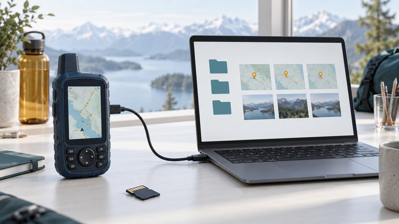
Start Garmin maintenance with the exact device model and the data you want to preserve. Handhelds, watches, car navigators and marine displays use different support paths. Identify the receiver, make a verified copy of valuable locations, and then update the supported software or maps.
This guide focuses on handheld ownership. It also helps owners of older eTrex and GPS III units organize the information needed for support. Model names that look similar can conceal different ports, file formats and map capabilities. Marine owners should use the Garmin chartplotter compatibility guide.
Create a device record
Read the model label and the device's About or System screen. Record the complete suffix, firmware version, map product and region, and the computer or phone available for maintenance. Keep the serial number in your private record. Photograph the information screens before changing anything.
Find the exact model in Garmin's support system and open its manual. Confirm the connection method and the applications it supports. On an older receiver, a physical cable connector may lead to a serial interface rather than a modern USB file-storage device. A cable fitting the socket establishes only the mechanical connection.
Keep three kinds of information separate
| Item | Purpose | Evidence of completion |
|---|---|---|
| Device software | Runs the receiver and its functions | The installed version and normal operation after restart |
| Maps | Provide geographic content for supported regions | The intended map product, region and release appear on the device |
| User data | Your waypoints, routes, tracks or activities | A separate copy opens with the expected names, geometry and times |
A successful software update says little about whether a particular map was refreshed or a track was preserved. Give each of these items its own check. Map licenses and entitlements also need their own verification when changing receivers.
Back up a small sample, then the collection
Choose one known waypoint, one route and one short recorded track or activity. Use the model's documented transfer method. Save an independent dated copy on the computer, then reopen it and compare the waypoint coordinates, route shape and track timestamps with the original. After the sample passes, copy the rest. Keep an untouched original export when converting formats.
Garmin's BaseCamp backup guidance distinguishes GPX-oriented handheld workflows from newer FIT activity workflows and recommends other apps for some families. Choose the application around the device and data type. An account sync is useful, but a separately saved export is easier to inspect and retain before a reset or migration.
Legacy equipment requires particular care. Garmin documents a MapSource receive-and-save workflow for the GPS 72/76 and GPSMAP 76/76S, noting that serial devices do not connect directly to BaseCamp. That example explains why a modern handheld's transfer instructions should not be applied indiscriminately to an older model.
Use the model's documented update route
For the GPSMAP 67 series, Garmin recommends Garmin Express for the first software update and documents subsequent wireless options. Its GPSMAP 67 update instructions also distinguish preloaded map updates from app synchronization. This is a family-specific example, not a universal Garmin procedure.
Read the current instructions fully before starting. Check required power, computer compatibility, free storage and any card requirement. Note the existing version and the offered replacement. Follow the documented disconnect and restart sequence, allowing the installation to finish. If the model is absent from an update service, stop and locate its support page instead of selecting a similar device.
Verify the result before the next outing
Open the intended map at a familiar location, view the saved sample objects and check the settings used for units, coordinate format and recording. Outdoors, obtain a fresh position and record a short local test. Reopen that new record on the computer. This checks the complete route from device operation to recoverable data.
Illustrative migration: a route transfers successfully but changes shape on the replacement receiver. Compare the map product and routing preferences, then inspect the intended stops. Keep the original track or route export as evidence; a successful transfer does not establish that both devices calculate identical paths.
Save the backup location and final versions in your maintenance record. For file-format interpretation, see GPS maps, tracks and location data; for testing an older receiver's usefulness, compare the older-device assessment method.
Use the garmin maintenance record to keep a practical record of the checks in this guide. It is an editable plain-text aid.