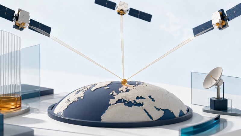
The Global Positioning System (GPS) broadcasts signals that compatible receivers use to estimate position, velocity, and time. A receiver may be part of a phone, vehicle, watch, surveying instrument, or specialized timing system.
The receiver computes its own solution from incoming signals. Ordinary GPS reception does not tell the satellites where you are. A device that shares a position uses a separate communications service, such as a cellular connection, to send that information elsewhere.
Separate the system into its functions
| Function | What it contributes | What it does not provide alone |
|---|---|---|
| Space segment | Navigation signals and data from orbiting satellites. | A street map or route recommendation. |
| Control segment | Monitoring and updates that support satellite operation. | Correction of an incorrectly drawn consumer map. |
| Receiver | Measurements and an estimated position, velocity, and time. | An assurance that every reported fix suits every task. |
| Application | Maps, routing, logging, or interpretation of the result. | Improved measurement accuracy simply by drawing more decimal places. |
Why timing reveals position
A receiver compares the timing of received signal patterns with information about when they were transmitted. Signal travel time relates to distance. The resulting measurements are called pseudoranges because they include effects such as receiver clock error, rather than being perfect geometric distances.
In a basic unconstrained three-dimensional solution, measurements from at least four suitably placed satellites allow the receiver to solve for three position coordinates and its clock offset. More observations can support a more robust solution, but their quality and geometry still matter. The FAA's explanation of GPS operation describes the timing and ranging principle.
GPS is one part of GNSS
Global Navigation Satellite System (GNSS) is the broader term for satellite positioning systems. GPS, Galileo, GLONASS, and BeiDou are major global constellations. A multi-constellation receiver can use supported signals from more than one system.
Multi-constellation and multi-frequency describe different capabilities. The first concerns which satellite systems are used; the second concerns which signal bands are measured. Check the actual receiver and antenna specifications rather than treating either label as a universal accuracy guarantee.
Augmentation and correction services add information that can improve particular aspects of positioning. Their coverage, receiver support, communications requirements, and operating conditions vary. They should be evaluated against a defined task rather than a single best-case precision figure.
Understand what makes a fix less trustworthy
Blocked signals, reflections from nearby surfaces, atmospheric effects, satellite geometry, interference, and receiver design can affect the result. GPS.gov's accuracy explanation distinguishes the accuracy of transmitted signals from the accuracy achieved by a particular user.
A building reflection can distort the measured path. A receiver may still report a position, so the presence of coordinates does not prove that the surroundings are favorable. Compare the estimated uncertainty, solution status, and recent behavior with the requirements of the application.
Map accuracy is a separate issue. A correct coordinate can appear beside an incorrectly drawn road. Conversely, software can snap an inaccurate fix to a plausible road and make the display look convincing. Retain raw observations when investigating these differences.
Read the result with its context
A useful position record includes the coordinate reference, timestamp, validity, and available quality information. For height, determine whether the value is relative to an ellipsoid or another vertical reference. Similar-looking altitude numbers are not necessarily comparable.
Check when the position was measured. A fresh screen refresh can display an old fix. Ask whether the application is showing a measurement, a filtered estimate, or a predicted location during an outage.
Does GPS need the internet?
Satellite reception itself does not require an internet connection. Assistance data, map downloads, traffic information, correction services, and remote sharing may use one. Test the particular application's offline functions before relying on them.
Where does AI help?
It can help organize logs and identify patterns for investigation when the data and assumptions are explicit. It cannot restore a missing satellite observation or turn an uncertain fix into verified ground truth. Begin with GPS data software or the phone troubleshooting reference for practical next steps.