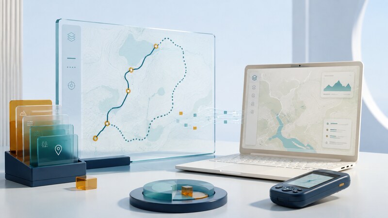
GPS software turns position records into maps, routes, activity logs, and analysis. Choosing it starts with the task: planning a trip, following a route, recording movement, converting a file, or investigating measurement quality.
The useful result is more than a line that looks right on a map. Coordinates, timestamps, segment boundaries, and export behavior determine whether that line can be interpreted and reused correctly.
Know which kind of object you have
| Object | Typical meaning | Important limitation |
|---|---|---|
| Waypoint | A named location, such as a junction or observation point. | It may have been entered manually rather than measured. |
| Route | An intended sequence of destinations or route points. | Different applications may calculate different paths between them. |
| Track | A sequence of recorded or constructed positions. | A recorded track may contain gaps, noise, or missing times. |
| Map layer | Background geographic information. | Its age, scale, and accuracy are separate from receiver accuracy. |
GPX is a common exchange format for waypoints, routes, and tracks. An application's import or export may preserve only some fields. QGIS's GNSS/GPS data documentation explains loading these types of data; GPSBabel provides conversion between many GPS and mapping formats.
Try a small track with known properties
The elapsed duration is 180 seconds. A spherical-Earth estimate using a 6,371 km radius gives about 167 meters of travel and an average speed of about 3.34 km/h. Ellipsoidal distance calculations can differ slightly. The file has no elevation data, so it should not be presented as a measured elevation profile.
An exported file need not be byte-for-byte identical to preserve meaning. Check the actual fields. An application that removes timestamps may still draw the same line while losing the information needed to calculate speed.
Make coordinate interpretation explicit
GPX uses latitude and longitude in decimal degrees referenced to WGS 84. Other formats may use projected coordinates or a different order. Latitude and longitude can be swapped while still producing numerically valid values, so range checks alone are insufficient.
Confirm hemisphere signs and units. In a geographic coordinate pair, degrees are angles, not meters. Use a suitable geodesic calculation or projection when measuring distances and areas. Changing a coordinate-system label without transforming the coordinates can move the data to the wrong place.
Keep time zones explicit. The letter Z in the sample timestamps denotes UTC. A program can display those times in local time without changing the underlying instants. Record whether duration includes stops and whether missing intervals are excluded.
Inspect before cleaning
Look for gaps, duplicate points, implausible jumps, and timestamps that move backward. A straight line across a missing interval is a visualization choice, not evidence of the route actually traveled.
Preserve an original file before filtering or simplifying. Document thresholds, removed points, and any interpolation. Smoothing may make a track attractive while cutting corners or concealing poor measurements. Compare the result with the question the analysis is meant to answer.
For offline work, download the required map coverage and test it without a network connection. A saved track does not necessarily include a basemap, address search, or offline routing. Each function has its own data requirements.
Use AI-assisted processing with a known test case
Review this synthetic GPX file. Report track and segment counts, point count, coordinate range, timestamps, and missing fields. Explain the distance method and units. Preserve the source file and flag anomalies instead of silently deleting or inventing observations.
Use the four-point exercise to check a generated parser or conversion script. Test malformed records and multiple segments separately before processing a larger collection. Compare computed results with an independent calculation.
Location files can reveal homes, workplaces, and repeated routines. Share only the detail needed for the purpose, and inspect exports for timestamps and embedded metadata. For live fleet records, see vehicle tracking and reporting intervals.