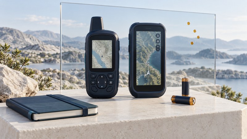
GPS quality is the fit between a receiver and the work you need it to do. A useful comparison examines recorded positions, controls, power, physical condition and the ability to maintain maps and recover data. Choose acceptance criteria before comparing devices, then test them under similar conditions.
This is a consumer field-comparison method, suitable for planning a purchase or checking equipment you own. It does not certify survey accuracy, waterproofing or suitability for an emergency role. For work tied to a legal boundary or an engineering reference, use the surveying guide and the project's required controls.
Write a short requirement first
Describe a real outing or task: duration, terrain, map coverage, recording needs, gloves, charging opportunities and the person operating the receiver. Separate essential functions from conveniences. For example, opening a saved route without a network connection may be essential; satellite imagery may be optional.
| Quality dimension | What to examine | What to record |
|---|---|---|
| Positioning | Repeated observations at the same marked location | Conditions, fix status, time and comparison reference |
| Usability | Reading the map and operating essential controls | Tasks completed independently in expected light and clothing |
| Power | A trial using your recording and screen settings | Elapsed hours, battery change, temperature and charging behavior |
| Physical suitability | Exact published environmental ratings and actual condition | Model specification, damaged seals, loose ports or worn buttons |
| Maintainability | Maps, firmware, data export and vendor support | A working documented route for each essential function |
Compare positioning without overstating the result
Start at a marked outdoor location with an open sky view, then repeat at a safe location representative of the intended environment. Record antenna orientation, enabled satellite modes, time since startup and the duration of each observation. Keep devices away from each other where their instructions require it. Repeat on another occasion so a single favorable moment does not decide the result.
GPS.gov's accuracy explanation identifies geometry, obstructions, reflected signals and receiver design as factors affecting a user's position. Signal-in-space performance and the coordinate displayed by a handheld describe different parts of that chain.
Without a trustworthy reference coordinate in a matching reference system, describe the spread or repeatability of your observations. A road centerline on a consumer map is a weak reference for a precise accuracy test. A tight cluster can still be displaced from the true location.
Synthetic example: three observed eastings are 1004, 1005 and 1006 metres in the same local grid. Their mean is 1005 m and their full spread is 2 m. If an independently established reference easting is 1000 m, the mean is displaced by 5 m in that coordinate. This one-dimensional illustration separates repeatability from agreement; it is not a complete horizontal-accuracy calculation.
Measure endurance in a useful configuration
Use the map, recording rate, wireless connections and brightness needed for the task. Note beginning and ending charge and elapsed time. A short trial can reveal a weak battery or a demanding setting, but extending its rate across a whole day assumes similar conditions and battery behavior. Repeat a longer trial before relying on that extrapolation. Include charging equipment in the evaluation if it is part of the planned setup.
For example, a drop from 90% to 66% over three hours is 24 percentage points, or 8 points per hour during that trial. It supports comparison with another trial made the same way; it leaves cold-weather endurance and battery aging unresolved. Keep observed results and projected results in separate fields.
Check the whole ownership path
Inspect the case and connectors without deliberately exposing the device to water or impact. Use the exact manual to interpret ratings and operating limits. Check that required maps are available and that saved locations can be exported and reopened. A receiver that meets today's navigation task but traps valuable data may be a poor long-term fit.
Conclude with one of three outcomes: meets the stated task, needs another trial, or fails an essential requirement. Name the evidence and the remaining uncertainty. For repeatable field records, continue with reliable GPS for field mapping; for a handheld purchase, use the hiking equipment comparison.
Use the receiver quality trial to keep a practical record of the checks in this guide. It is an editable plain-text aid.