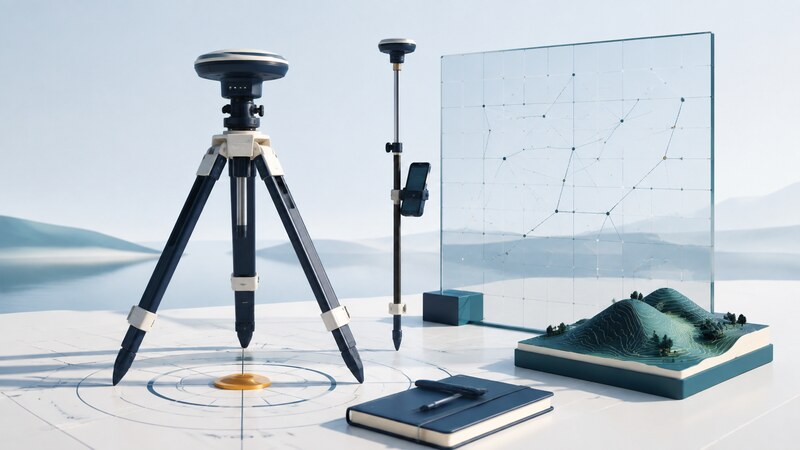
GNSS surveying uses satellite observations within a controlled measurement workflow. Its result is more than a coordinate: it includes the reference system, observation method, equipment setup, processing choices, and evidence that the result meets the project's requirements.
A basemap helps the crew orient themselves. It does not establish survey control. Similarly, a receiver's precision estimate or fixed-status indicator is one part of quality assessment, not a substitute for correct setup and independent checks.
Define the coordinate deliverable first
| Item | Why it matters | Record explicitly |
|---|---|---|
| Reference frame and epoch | Coordinates depend on their reference and, where relevant, time. | Named frame, realization, coordinate epoch, and observation date. |
| Projection and zone | Grid coordinates depend on the chosen conversion. | Coordinate system, zone, axis order, and units. |
| Height system | Ellipsoidal and orthometric heights describe different references. | Height type, vertical datum, and model used. |
| Control and tolerances | Agreement must be judged against a suitable reference. | Control source, required checks, and acceptance criteria. |
Do this before collecting data or importing a design file. A file labeled only “GPS coordinates” is incomplete for precise integration. The NGS Coordinate Conversion and Transformation Tool provides supported coordinate operations; confirm that its available transformations apply to the actual source and destination systems.
Keep observation date and coordinate epoch as separate fields when they differ. Follow the project's applicable specifications and current reference-system guidance rather than choosing a datum from a familiar menu label.
Make the setup traceable
Record the mark identifier, receiver and antenna models, antenna reference point, measured height, start and end times, obstructions, and any equipment movement. Note whether a height measurement is vertical or slant and use the equipment's documented conversion where needed.
The NGS OPUS instructions require the correct antenna model and vertical antenna-reference-point height above the mark. They also specify eligible observations and file formats. Check those requirements before collection; an ordinary GPX activity track cannot substitute for the necessary survey observations.
Choose static, real-time, or post-processed collection according to the task, site, and available reference data. GNSS does not require intervisibility between occupied points, but satellite visibility and local reflections still constrain observations. Other survey instruments may be needed where reception or the job requirements demand them.
- Confirm control identifiers and the intended reference system.
- Set up securely and independently verify antenna height and centering.
- Collect the prescribed observations and document interruptions.
- Check known control and repeat observations using the project's procedure.
- Retain raw files and field notes together.
Worked example: two different kinds of height
GNSS naturally relates position to a reference ellipsoid. An orthometric height relates to a gravity-based vertical reference. A compatible geoid model connects the two. NGS describes the conventional relationship as h = H + N, where h is ellipsoidal height, H is orthometric height, and N is geoid height, in its explanation of height conversion. That older publication explains the relationship; use the model appropriate to the current project.
Do not apply the same geoid correction twice when software already exports orthometric heights. Preserve the original output fields and conversion history so a reviewer can reconstruct how the final elevation was obtained.
Read the processing report and test agreement
Review the observations used, warnings, residuals, solution status, and reference stations or correction source. Compare independent observations with suitable control rather than relying only on the receiver's displayed uncertainty. Repeated measurements can share the same systematic mistake.
For a fictional local-grid check, a new point differs from its reference by +0.012 meters east and −0.016 meters north. The horizontal difference is √(0.012² + 0.016²) = 0.020 meters. Whether that passes depends on the job's criteria and the uncertainty of the reference; 20 millimeters is not a universal acceptance threshold.
Investigate consistent offsets before averaging them away. Verify antenna information, units, projection, frame, epoch, and any localization parameters. Retain rejected observations with a reason so the review does not hide how decisions were made.
Deliver enough information to reproduce the result
Include point identifiers, coordinates and units, height type, reference metadata, observation dates, equipment details, raw-data references, processing software and settings, control checks, and a clear statement of achieved results and limitations. Distinguish measured, transformed, and derived values.
AI can help compare field logs against a required template or write validation code for coordinate files. Ask it to flag missing metadata, duplicate identifiers, and inconsistent units. Validate transformations using known check coordinates; plausible-looking output is insufficient evidence.
GNSS measures positions. Boundary interpretation and other professional survey conclusions also depend on records, evidence, applicable requirements, and professional judgment. Preserve that distinction when using coordinates in plans or automated reports.