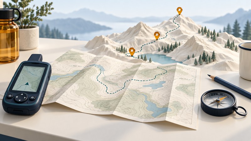
Learn GPS navigation by connecting three things: the landscape you can recognize, the map that describes it, and the coordinates your receiver reports. Begin with a paper exercise and a short, familiar walk. Success means explaining your next decision, as well as finding a dot on a screen.
Bring a map of the practice area, a phone or receiver with a usable local map, a pencil and its operating instructions. Choose an easy public route you already know. The National Park Service’s navigation guidance recommends learning equipment before an outing, carrying a physical backup map and extra phone power. Check the land manager’s current conditions and tell someone your plan before an outdoor practice.
Read the map before entering a destination
Find the map’s title, date, scale, legend and coordinate reference. Identify your starting place, two recognizable landmarks and the paths joining them. Read the symbols for buildings, water and paths; decide which features you expect to see first. Map age matters because a drawn path or entrance may have changed.
Orient the map using recognizable features. If you use a compass, learn the map’s north references and the compass’s instructions before combining bearings. For this first exercise, keep the route obvious and remain on established paths. Choose a different practice location if identifying your position requires guesswork.
Match the coordinate format and datum
A coordinate needs its reference information. Latitude/longitude can be written in decimal degrees, degrees and decimal minutes, or degrees/minutes/seconds. A datum supplies the reference framework used to locate those values on Earth. USGS explains why a map and GPS should use matching datums; changing how numbers are displayed is a separate operation from transforming coordinates between datums.
Invented desk exercise: write 40.5000° N, 75.2500° W, WGS84. Convert only the notation: 0.5000 × 60 = 30.000 minutes and 0.2500 × 60 = 15.000 minutes. The same coordinate is 40° 30.000′ N, 75° 15.000′ W. With signed decimal degrees and latitude first, write 40.5000, −75.2500. This is a format exercise, not a destination to visit.
Compare the device’s input template before typing. Check latitude versus longitude, hemisphere or sign, and decimal placement. Read the saved value back in the original format. If it appears in an unexpected country or far from the intended area, resolve that discrepancy before proceeding. Verify the datum separately after matching the format.
Give each saved object a purpose
| Object | Meaning | Learning task |
|---|---|---|
| Waypoint | A named saved position | Save a familiar landmark and check its name and coordinates. |
| Route | A planned sequence or calculated path toward destinations | Inspect where the next leg actually goes. |
| Track | A sequence of recorded or supplied positions | Compare a recorded walk with the path you used. |
Names help interpretation: “practice-start” and “path-junction” are easier to review than a list of numbered points. Consult the specific app’s documentation for how it treats imported routes and tracks. A straight line to a waypoint describes a direction; assess the walkable path and any barriers separately.
Run a short observation loop
- At the known start, compare the screen position with the map and surroundings. Record the time and the device’s displayed uncertainty if available.
- Save a practice waypoint and begin a track recording using the documented controls.
- Walk to the first familiar landmark. Stop and describe where you are, which path continues, and why it is the intended path.
- Return along the familiar route, stop the recording and save it with a useful name.
- Reopen the track. Compare its shape with your recollection and map; note gaps or jumps without treating every recorded point as exact.
If a map disappears, inspect downloaded coverage; if the position is stale, inspect location status and settings. The phone location troubleshooting guide separates those symptoms. Repeat one troublesome task on another short practice instead of adding complexity immediately.
Review what you can explain
Use the navigation practice worksheet to record settings, the coordinate exercise and your observations. You are ready for a more demanding lesson when you can recognize the map references, verify an entered coordinate, distinguish saved objects and explain a route choice independently. For device preparation see handheld GPS setup; for equipment choices see choosing hiking navigation.