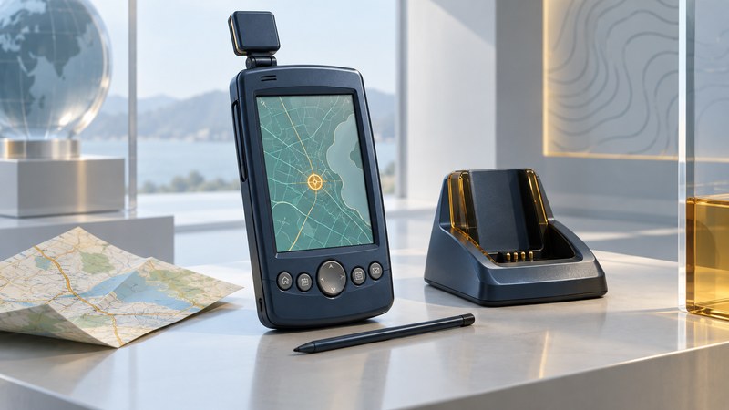
The Garmin iQue 3600 illustrates an early approach to mobile navigation: combine a Palm organizer, a GPS receiver and map software in one handheld. Its most interesting feature is the connection between personal information and places. For an owner or collector, understanding that connection also helps identify what needs preserving.
This is a historical device guide and a preparation checklist for examining an existing unit. Treat an old manual as evidence of the documented system at that time. Establish present computer compatibility, working hardware and available software separately before attempting a restoration.
An address book that could hold places
Garmin’s iQue 3600 Que Applications Guide describes a waypoint as an Address Book entry with an assigned location. QueFind could locate saved places and map features; QueMap displayed them; QueRoutes used a selected place as a destination. This made geographic information part of an organizer workflow.
Consider a historical demonstration: select a saved contact, inspect its mapped location, then preview a route. The interesting transition is from a person’s record to a geographic object. A name and postal address, a coordinate and a calculated journey answer different questions. Keeping their relationships intact is part of preserving the device’s meaning.
The guide also distinguishes its basemap from detailed map data loaded from CD-ROM, with more detailed street routing dependent on the latter. That distinction explains why two apparently identical units can offer different map detail. Record the actual maps installed on the specimen instead of inferring them from the model name.
Inventory the specimen before changing it
| Part of the system | Record | Why it helps |
|---|---|---|
| Handheld | Exact model, visible software versions, antenna and display condition | Distinguishes the specimen from related iQue models. |
| Personal records | Applications containing valuable entries and a few recognizable examples | Provides a comparison after a documented transfer. |
| Maps and cards | Map name, region, version, card labels and readable contents | Separates map coverage from saved personal locations. |
| Desktop system | Computer OS, Palm Desktop version, user profile and available backups | Identifies the existing synchronization environment. |
| Accessories | Cradle, cable, documented power supply and original media | Reveals missing dependencies before purchases or installation. |
Keep serial numbers, address books and personal locations private. Photographs of exterior labels and a written inventory may be sufficient for an initial assessment. Choose a realistic aim: preserving records, demonstrating the interface or exhibiting the physical device. Each requires a different level of functionality.
Understand synchronization before using it
Garmin’s Operating Instructions cover Palm Desktop, HotSync and application-specific conduits. Chapter 9 explains that synchronization behavior is configurable. A connection can therefore change information on the handheld or desktop according to its settings. Review the selected user profile and each relevant conduit before the first synchronization.
The same manual warns that a hard reset erases handheld records. Preserve existing desktop backup folders and readable card contents as unchanged copies before experimenting. A folder that contains files is only a candidate backup: record what application can reopen them and compare a known record’s name, location and associated information.
If no working desktop environment exists, pause the transfer attempt and list the unresolved dependencies. The historical instructions establish the original workflow; compatibility with a current operating system needs separate evidence. Avoid using a reset as a way to discover what valuable data the unit contains.
Define a small, verifiable demonstration
A useful museum-style demonstration might show a nonprivate sample place, its map view and a route preview. Record whether the view uses existing map data, a fresh GPS position or a simulation. Label each clearly so a displayed route is not mistaken for a field test.
For an outdoor reception check, use the exact manual’s antenna and reception instructions from a stationary, open location. Observe position and date/time separately, and record the conditions. A successful position fix establishes one capability; it leaves battery endurance, current road data and dependable everyday navigation to separate checks.
Complete the iQue preservation record before choosing preservation, further research or a limited demonstration. The Garmin maintenance guide covers the broader model-first approach, while CompactFlash GPS history shows the alternative of adding a receiver to a PDA.