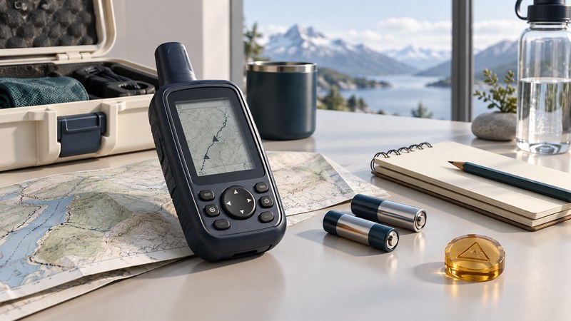
An older Magellan handheld may still be useful for a limited navigation or learning task if its power, display, positioning and saved-data functions work. Assess those functions before spending money on cables, cards or replacement equipment. Preserve valuable waypoints before experimenting with resets or software changes.
The Meridian family, including the Platinum, provides a useful historical example. Its early-2000s maps and computer workflows belong to that generation. Present-day usefulness depends on the actual receiver, the intended task and a working way to access its data.
Start with what you have
Record the exact model, displayed software version, map names, installed card and available cables. Photograph the information screens. Inspect the battery compartment, connectors and controls. Use the documented battery type and polarity; visible leakage, damage or intermittent power calls for qualified advice before relying on the unit.
The manufacturer's Meridian-family manual preserved by Equipco covers multiple configurations and includes model-specific notes. Its sections on setup, card utilities, external connections and the About screen are useful starting points. Treat old download addresses and software references as historical documentation, with current availability still to be checked.
Preserve the important locations first
List the waypoints or tracks that would be difficult to recreate. Where the exact model and software support it, use its documented card or computer-transfer method. The Meridian manual describes card functions for waypoints, routes and tracks. Confirm applicability on your receiver before following them.
Copy transferred files to a computer and retain an unchanged original. Open a working copy with software that recognizes the format. Compare several waypoint names and coordinates with the receiver, and inspect the shape of a known track. Record coordinate format and datum alongside manually transcribed locations. A number copied without those settings can be misinterpreted later.
If an export path remains unresolved, photograph or transcribe the essential records before further work. A photo is a fallback record with limited search and transfer value. Verify every transcription independently. Formatting a card or clearing memory should wait until the necessary information has been recovered.
Run a short, low-consequence trial
- Confirm normal startup and readable controls using documented power.
- Check displayed date, time, units and coordinate settings. Record discrepancies.
- At a safe open-sky location, obtain a fresh position and compare it with the surroundings.
- Save one new test waypoint with a distinctive name, then reopen it.
- Record a short walk in familiar terrain if the unit supports tracks, then inspect and transfer that record.
- Repeat after a normal shutdown and restart to check persistence.
Use current independent maps for the trial. A saved waypoint can support a simple location task even when the old basemap lacks useful detail, but a line toward a waypoint does not establish a passable route. Repeat power observations with the backlight and recording behavior you expect to use. Date or timestamp faults matter if records will be compared with other observations, even when the displayed position appears plausible.
Choose a role based on evidence
| Finding | Reasonable direction | Evidence still needed |
|---|---|---|
| Reliable basic functions, limited maps | Keep for a narrow practice or waypoint task | A suitable independent map and a successful local trial |
| Valuable data, unreliable hardware | Prioritize recovery and migration | A verified export or checked manual record |
| Intermittent power or unusable controls | Seek repair advice or replace | Repair feasibility and a dependable alternative |
| Required map/update path unavailable | Choose equipment with documented support for the task | Current coverage and update method before purchase |
Illustrative decision: an owner retrieves a collection of named fishing-access waypoints, checks them on a current map and retains the original export. The receiver still marks positions, but its screen is unreliable. Recovering the data has succeeded even if replacing the hardware is the better next step.
Magellan's regional user-guide library is another documentation route, but inclusion of a manual does not promise current maps, repairs or software compatibility for a Meridian. Confirm support for the model and region directly. For choosing replacement equipment, see receiver-quality evaluation; for conversion checks, see GPS location files.
Use the magellan assessment to keep a practical record of the checks in this guide. It is an editable plain-text aid.