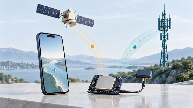
Qualcomm positioning technology connects satellite measurements, assistance information and platform software. To understand a phone's location behavior, identify the exact device and distinguish what its hardware can receive from the position an app ultimately displays. A chipset feature list is one part of that investigation.
This guide explains those layers and offers a way to evaluate positioning claims. It complements phone-location troubleshooting, which focuses on permissions, stale fixes and app behavior.
Follow the location through the system
| Layer | What it contributes | Useful evidence |
|---|---|---|
| GNSS reception | Measurements from supported satellite signals | Documented frequencies and observations on the actual phone |
| Assistance | Information that can help the receiver acquire and use signals | Platform documentation and assistance conditions during the test |
| Location service | A position estimate delivered through the operating system | Provider, timestamp, permissions and reported uncertainty |
| Application | Map display, route matching or recording | App settings and exported observations |
A faster first fix and a more accurate position are separate outcomes. The time needed to obtain usable information can change without producing the same change in every subsequent coordinate. Evaluate the outcome relevant to the task: quickly opening a ride pickup, recording a walk or collecting measurements.
Understand assistance through a dated example
In 2007, Qualcomm introduced gpsOneXTRA Assistance, describing a downloaded assistance file and faster time-to-fix for its supported technology. This illustrates how information obtained through a network can help satellite positioning. The release's performance and validity claims belong to that implementation and date.
When testing a current phone, record recent use and connectivity. Turning data off immediately after a successful fix may leave useful assistance information available. That trial tells you how the phone behaves in that state; it does not reproduce every startup after a long period offline. Similarly, a blank map concerns map access, while a missing position concerns location availability. Test the two separately.
Read specifications at the correct product level
Constellations and frequencies describe different capabilities. GPS, Galileo, GLONASS and BeiDou are navigation systems; L1 and L5 identify frequency bands commonly discussed in receiver specifications. Support for more than one constellation does not by itself establish multi-frequency reception.
Qualcomm's Snapdragon Auto 4G documentation describes multi-frequency, multi-constellation positioning for an automotive platform. Its W5+ Gen 2 wearable specifications list L1/L5 support. These are product-specific examples. Check a phone maker's documentation for the finished handset rather than transferring an automotive or wearable capability to it.
Hardware, antenna design, firmware and operating-system interfaces all shape the usable result. An advertised percentage improvement needs its baseline, test environment, measurement definition and supported configuration. Keep that claim separate from your own observations.
Inspect evidence on an Android phone
Android's raw GNSS measurement documentation describes GNSSLogger and analysis tools and explains that some measurement fields and capabilities vary by device. Raw observations can help investigate which signals are being measured. They require appropriate interpretation and are different from the map app's processed location.
- Record handset model, OS build, app version and positioning settings.
- Collect a short observation outdoors with a clear view, keeping the phone's position and orientation consistent.
- Record the observation time, available signal/frequency evidence, fix behavior and any reported uncertainty.
- Repeat in a safe representative setting and on another occasion.
- Compare like outputs: raw measurements with raw measurements, or recorded app positions with the same app configuration.
Illustrative interpretation: two phones draw similar tracks, while one exposes additional frequency measurements in a diagnostic log. That establishes a difference in the available observations during the trial. A claim that one phone is more accurate still needs a suitable reference and repeated measurements.
Keep exported logs private when they contain personal locations. For choosing receiver hardware, continue with GNSS chipsets and modules; for signal terminology, use GPS signal modernization.
Use the positioning claim check to keep a practical record of the checks in this guide. It is an editable plain-text aid.