
Use these ten guides to choose and plan satellite connections, make better image comparisons, follow navigation milestones and assess spacecraft technology. Earlier reports remain available below with their historical dates.
Connections and networks
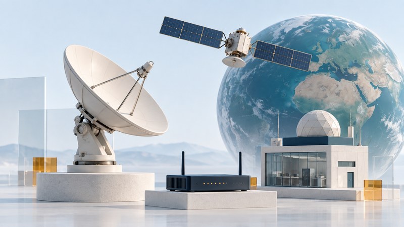
Satellite Communications: How Links Work and What to Check
Understand the path from terminal to satellite to ground network, then plan coverage, latency, power and backup checks.

Satellite Broadband: Choose a Service for Your Home or Business
Compare site suitability, upload needs, latency, data policies and total cost, then test the applications you depend on.
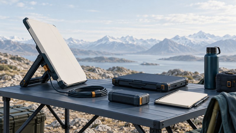
BGAN: Plan a Portable Satellite Connection for Field Work
Match BGAN terminals and service modes to a field task, estimate data use, and prepare an offline deployment and recovery record.
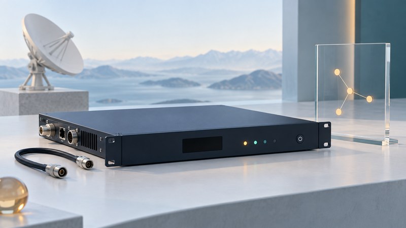
Satellite Modems: Read the Specifications and Diagnose the Link
Distinguish symbol rate from useful throughput, check network compatibility, and collect the right evidence before changing a satellite modem.

Enterprise Satellite Service: Evaluate SLAs and Test Recovery
Compare committed capacity, availability definitions and support responsibilities, then test business applications through outage and recovery.

Broadband Satellite Networks for Schools and Remote Branches
Plan site workloads, shared capacity, local Wi-Fi, power and support, then pilot the service before expanding across locations.
Imaging and navigation

Satellite Imaging: Find Data and Make a Fair Comparison
Choose public satellite imagery, understand resolution and cloud limits, and record a reproducible before-and-after comparison.

GPS III Launches: From Liftoff to Usable Navigation Signals
Understand GPS III launch and commissioning milestones, separate satellite status from signal status, and follow official navigation notices.
Spacecraft engineering
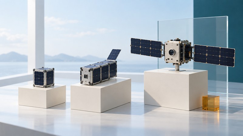
Small Satellites and CubeSats: Understand the Mission Tradeoffs
Connect a small spacecraft payload to power, pointing, communications and operations budgets, and assess constellation claims.

Radiation-Tolerant FPGAs: Evaluate the Evidence
Separate radiation effects, read device-specific test conditions, and connect mitigation claims to a verifiable mission design.
Historical satellite and high-altitude platform reports
These ten articles retain reporting from 2001–2017. Read service, product and project claims in the context of their publication dates.
EchoStar Satellite Supporting Ultra High Definition Television Channels
Historical report, created November 29, 2017.
GPS III Satellite Digital Mission Data Unit Improves Signal Integrity
Historical report, created November 14, 2017.
DIRECTV Satellite
Historical report, created May 23, 2005.
High Altitude Airship
Historical report, created April 14, 2005.
Stratellite
Historical report, created August 8, 2004.
Stratellites
Historical report, created March 10, 2004.
MBSAT
Historical report, created March 13, 2004.
New Skies Satellites
Historical report, created December 17, 2002.
Advanced Technologies Group - ATG - Stratsat
Historical report, created July 12, 2001.
Milstar
Historical report, created February 12, 2004.