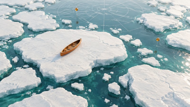
The One World Expedition is a useful case in reading expedition claims carefully. Lonnie Dupre and Eric Larsen planned a summer crossing of the Arctic Ocean; the documented success in 2006 was a journey from Canada to the geographic North Pole. A clear account keeps the proposed crossing, the unsuccessful 2005 attempt and the later achievement separate.
The geographic lesson is equally important: sea ice moves while people travel across it. The distance a team covers over the surface and its progress toward a fixed destination can differ substantially.
Follow the changing plan
In his 2005 first-person account of preparations, Larsen described a proposed Siberia–North Pole–Ellesmere Island crossing. His later retrospective says the 2005 attempt departed Cape Arctichesky in Siberia and ended with a helicopter evacuation. The proposed itinerary and the actual outcome should occupy different lines in a history.
| Stage | What the source establishes | How to label it |
|---|---|---|
| 2005 preparations | A proposed ocean crossing through the North Pole. | Intended route. |
| 2005 attempt | Departure from Siberia followed by withdrawal. | An attempted crossing. |
| 2006 journey | Travel from Canada to the North Pole. | A completed journey to the pole. |
Dupre’s expedition history describes the 2006 Canada-to-pole journey using modified canoes. Larsen’s July 1, 2007 anniversary entry places their arrival one year earlier, after 62 days. His account supplies the arrival date used here: July 1, 2006.
The participants describe the achievement as a first summer journey to the North Pole. Keep that wording attributed and preserve the endpoint. Reaching the pole establishes one milestone; completing a crossing also requires the onward leg to the stated far-side destination.
Read the ice as a moving travel surface
The National Snow and Ice Data Center’s sea-ice explanation describes how wind and ocean currents drive ice motion. Floes can separate to open leads or converge to build pressure ridges. Melting also changes the surface through the season.
This creates two frames of reference. A traveler moves relative to the floe underfoot; the floe moves relative to geographic coordinates. Even a stationary camp can change position. A daily log therefore benefits from both route observations and positions recorded at stated times.
On a polar map, identify the geographic North Pole and the surrounding land coasts first. Use a consistent projection for route comparisons. Treat a track as a sequence of dated observations, and check whether a distance means cumulative travel, straight-line separation or remaining distance to the goal.
Worked example: movement and progress
Make a precise expedition summary
- Write the start, endpoint, year and travel method.
- Separate the announcement date from the date of the event.
- Attribute record language and retain qualifiers such as season and support.
- Match every claimed completed leg to an outcome report.
- Keep weather and ice observations attached to their places and dates.
One journey supplies a particular set of observations. For Arctic-wide trends, compare systematic records such as NSIDC’s explanation of sea-ice measurements. Its extent metric uses a defined concentration threshold, which answers a different question from whether an individual floe was passable.
Use the route evidence notes to record sources, intended legs and verified outcomes for this or another historical expedition.
Related reading
- Reading iceberg pictures: Distinguish sea ice from icebergs and compare dated observations.
- Shackleton’s Endurance expedition: Follow another journey whose route changed with drifting ice.
- Fossett’s world flight: Compare how movement, milestones, and source dates define a journey’s outcome.