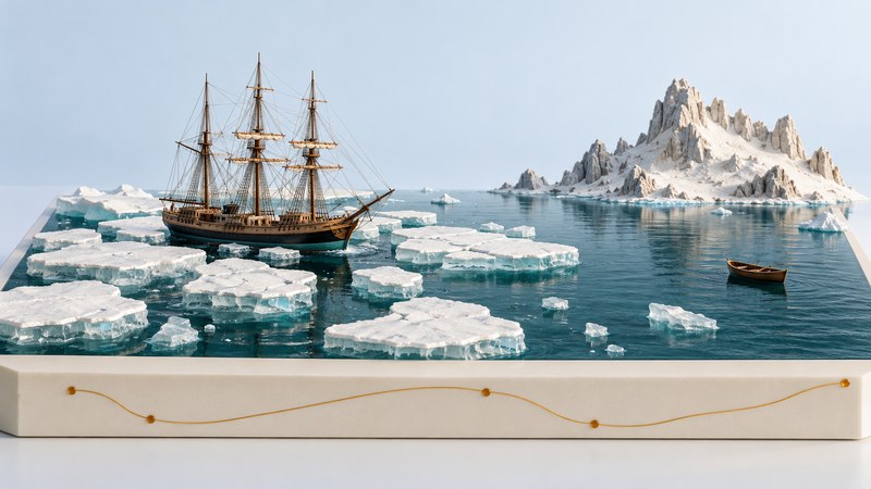
Ernest Shackleton’s Endurance expedition is easier to understand when you separate four kinds of movement: the planned crossing of Antarctica, the ship’s drift with sea ice, the lifeboat journey to land, and the search for help across sea and mountains. Maps, dates, and Frank Hurley’s photographs connect those stages without turning them into a single uninterrupted voyage.
A crossing planned from opposite sides of Antarctica
The Imperial Trans-Antarctic Expedition of 1914–1917 aimed to cross the continent from the Weddell Sea toward the Ross Sea. Shackleton’s Endurance party would make the crossing; a separate Ross Sea party would establish supply depots for the later part of the route. The Royal Museums Greenwich biography places this ambition within Shackleton’s polar career.
Find the Antarctic Peninsula, Weddell Sea, South Pole, and Ross Sea on a polar map. Then locate South Georgia and Elephant Island outside the intended continental crossing. The route the Endurance party actually traveled remained at sea and around islands after ice prevented the planned landing.
The two-party distinction matters. All 28 members of the Endurance party survived, while three members of the Ross Sea support party died. New Zealand’s Ministry for Culture and Heritage account describes the separate tasks and rescues, including the recovery of the surviving Ross Sea shore party in January 1917.
Follow the change from ship to ice to boat
The sequence below separates departure, abandonment, sinking, and rescue. The 2023 research paper on Endurance’s drift provides the chronology and geographic context used here, alongside the museum and New Zealand histories.
| Date | Place or event | Geographic significance |
|---|---|---|
| December 5, 1914 | Departure from South Georgia | A sea approach toward the Antarctic landing area |
| January 1915 | Endurance trapped in Weddell Sea ice | The ship’s movement became tied to drifting pack ice |
| October–November 1915 | Abandoned in late October; sank November 21 | The party camped on the moving ice |
| April 1916 | Lifeboats reached Elephant Island | Land provided a refuge but help remained distant |
| April–May 1916 | James Caird voyage to South Georgia | Shackleton and five companions crossed open sea to seek help |
| May 1916 | Crossing of South Georgia’s interior | Shackleton, Frank Worsley, and Tom Crean reached a whaling station |
| August 30, 1916 | Rescue from Elephant Island | The waiting members of the Endurance party were recovered |
On your map, use distinct line styles for travel under the party’s control and drift with the pack. Add dates at transitions. A straight line between two recorded positions is a convenient connection on paper; intermediate motion may have curved or reversed. This is particularly important for interpreting time spent on moving sea ice.
The James Caird reached South Georgia, but its landing place and the whaling stations were separated by difficult terrain. The subsequent inland journey explains why reaching the island and obtaining help were different milestones. A map showing only an island-to-island line misses that part of the story.
Read Hurley’s photographs as located observations
Frank Hurley documented the Endurance expedition with still photography and film. The Royal Geographical Society’s collection account includes a photograph of Endurance under sail and explains Hurley’s role. Follow the collection record for the image’s creator, description, and reproduction information.
For each photograph, ask which stage it depicts: the ship approaching or caught in pack ice, a camp on the floes, or the party on land. Record the date as precisely as the catalog supports. A photograph of the ship intact belongs to a different moment from one showing its damaged hull. Nearby placement in a gallery alone does not establish the interval between them.
Separate what is visible from what you learn elsewhere. You may see a vessel, ice surface, people, or camp equipment. The duration of drift, position, and circumstances require a caption, diary, or other evidence. A dramatic photograph can document a moment while leaving conditions outside its frame unresolved.
Keep original photographs, later illustrations, and modern wreck imagery clearly labeled. The conceptual model at the top of this guide introduces the geographic stages; the linked collections provide documentary images. Check the holding institution’s reproduction terms before reusing a photograph in another publication.
Compare a route, a photograph, and a position estimate
Choose one stage from the table and locate it on a map. Add a documentary image if a catalog supplies a suitable date and place. Write one sentence about the movement involved and another about the source supporting it. If the image date is only approximate, preserve that uncertainty instead of assigning a precise day.
The wreck’s discovery on March 5, 2022 belongs to a later investigation. The drift researchers compared historical navigation fixes with meteorological reanalysis to examine possible movement near the sinking. Their work distinguishes recorded positions, modeled trajectories, and the observed wreck location. Those are three different forms of geographic evidence.
Use the same discipline when making your own timeline: label the source of a position and the confidence you can place in it. A useful finished route explains why the expedition changed transport and direction, while making clear where the record is precise and where it remains approximate.
Related reading
- The One World Expedition: Compare a later polar journey through plans, outcomes, and moving ice.
- Reading iceberg pictures: Identify ice types and keep fragments, image dates, and scales together.
- Peter Blake’s voyages: Compare expedition purposes and the observations recorded by a crew.