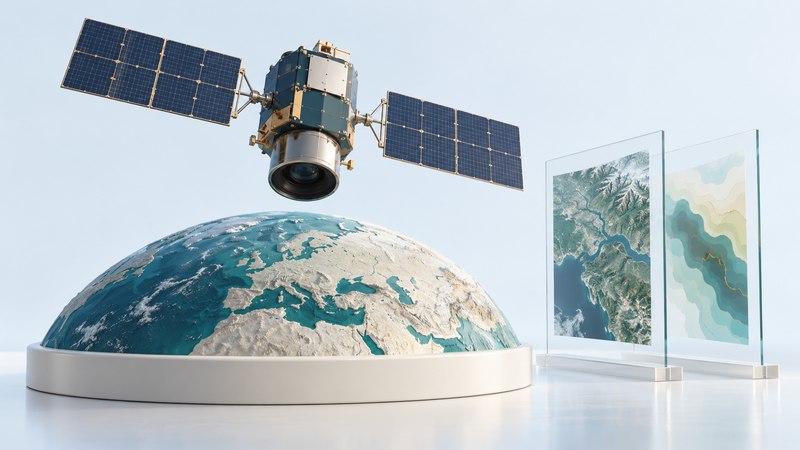
Reconnaissance satellites collect observations that analysts use to answer questions about places, activity and technology. To understand a satellite claim, start with three things: what the instrument measures, when it collected the data, and how the conclusion was reached.
The familiar phrase “spy satellite” covers several kinds of spacecraft. Some make images; others receive electromagnetic emissions. A useful public explanation separates established sensing principles, documented historical systems and the capabilities actually disclosed for a particular mission.
Start with what the instrument measures
| Collection method | What it records | What to check |
|---|---|---|
| Optical imaging | Reflected light in selected wavelength bands; thermal instruments instead measure emitted infrared energy. | For reflected-light imagery, illumination, clouds, viewing angle and the chosen bands affect the result. |
| Synthetic aperture radar (SAR) | A radar transmits microwave energy and processes returning echoes into an image. | Brightness depends on geometry and surface properties. Read the product description before treating it like a photograph. |
| Signals intelligence | Receivers collect selected electromagnetic emissions for analysis. | Identify the disclosed collection role. A signals mission does not automatically supply pictures or reveal every communication. |
The public Copernicus Sentinel-1 documentation illustrates radar’s ability to collect through cloud and without sunlight. Sentinel-1 is a civil Earth-observation mission; it is a useful example of sensing physics, not evidence about a classified spacecraft. Different radar wavelengths and processing methods support different applications.
Ask whether a published graphic is an original image, a false-color rendering, a radar product or an analyst’s annotated interpretation. Color, contrast enhancement and arrows can make information legible, but the underlying measurements and processing still determine what the graphic supports.
Separate orbit, revisit and delivery time
A spacecraft’s path determines where observation opportunities occur. A low-Earth-orbit satellite moves relative to the ground. An appropriately configured geostationary satellite stays over the same equatorial longitude. Orbit inclination affects the latitudes reached, and the instrument’s field of view determines the area it can observe. NASA’s orbit guide explains these geometries.
| Term | Reader’s question |
|---|---|
| Spatial detail | What ground area does a pixel represent, and how well can features actually be distinguished? |
| Spectral information | Which wavelengths were measured, and what does the displayed color represent? |
| Coverage or swath | How much area is collected in one observation? |
| Revisit opportunity | When could the system observe the location again? |
| Usable observation | Was a collection made, with suitable conditions and quality? |
| Delivery and analysis | When did the data arrive, and when was an interpretation available? |
NASA’s explanation of remote-sensing resolution describes tradeoffs among spatial, spectral and temporal information. A short revisit interval is only one part of an evidence timeline. Tasking choices, clouds for optical imagery, downlink and processing can separate the opportunity to observe from the time a usable result is available.
Two historical systems make the distinction concrete
CORONA: photographs returned on film
CORONA exposed film in orbit and returned it in recovery capsules for processing. The USGS declassified-imagery collection documents CORONA, ARGON and LANYARD photographs acquired during 1960–1972. These records connect intelligence history with environmental and landscape research.
A scanned film frame has several relevant scales: the original camera’s ground detail, the scanner’s sampling and the scale at which you display it. USGS warns that the collection’s images have not been georeferenced. Check the preview and location information before using a frame to compare ground features.
JUMPSEAT: listening from a different orbit
In its January 28, 2026 JUMPSEAT declassification account, NRO describes a Cold War signals-collection program launched from 1971 to 1987 into highly elliptical orbits. Its observations included electronic emissions, communications intelligence and foreign instrumentation intelligence. This documented example shows why reconnaissance includes more than cameras. Historical disclosures establish facts about the named program; present-day systems require their own evidence.
Worked example: what changed between two images?
- Identify the originals. Record the provider, product name and acquisition timestamps, including time zone. A social-media posting date is a different event.
- Align comparable views. Check location, scale, orientation, viewing angle and processing. Shadows or a shifted viewpoint can alter appearances.
- Separate observation from inference. Describe the visible change, then label the proposed explanation and plausible alternatives.
- Bound the timing. Two images can bracket a visible change; they rarely establish the exact moment it occurred.
- Seek corroboration. Look for another acquisition or an independent dated record. State what would strengthen or overturn the conclusion.
Use public records for the questions they can answer
The UN Registration Convention overview describes registration as a means of helping identify space objects. The UN register’s state and organization submissions provide official records. Read the document’s date, object designation and stated information together.
A registration record, an orbital estimate and a released sensor product answer different questions. A listing helps identify an object; an orbit describes its path at a specified time; a sensor product documents a particular observation. Claims about collection targets, resolution or operational status need supporting evidence for those details.
For a manageable first investigation, choose one documented historical mission. Read its official history, identify an available image collection, and write a short evidence note containing the source, date, observation and remaining question. This builds better judgment than assembling unsupported specifications for secret systems.
Continue exploring
Compare these distant observations with the power and payload constraints of tiny reconnaissance aircraft, or use the spy-history travel guide to plan a museum visit. Return to all Spying guides.