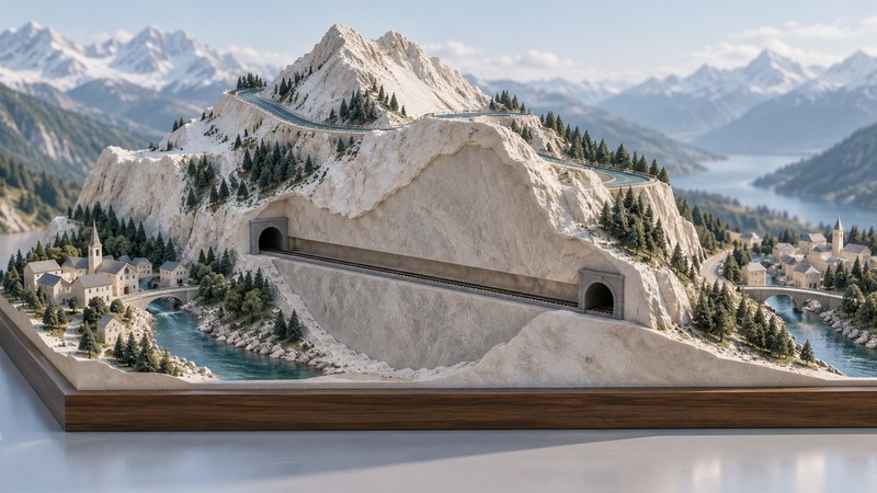
The Simplon corridor connects the Rhône valley in Switzerland with northern Italy across an Alpine mountain barrier. A road climbs over the pass; a railway travels through the mountain. Reading those two routes together shows how terrain, engineering, and trade shape a connection between places.
Start with the valleys, then find the crossing
Open the Swiss federal map viewer and search for Brig. Zoom out enough to see the Rhône valley, then find Simplonpass, Simplon Dorf, Gondo, and Iselle. Brig anchors the Swiss end of the corridor; Iselle lies beyond the border in Italy. Follow the surface road between them and notice how the route changes direction as it gains and loses height.
The Swiss Federal Roads Office’s account of the Simplon places the pass at roughly 2,005 metres above sea level and describes the Brig–Iselle road as about 45 kilometres long. These describe different quantities: the first is a height relative to sea level; the second is a distance along a route. Neither tells you the total ascent of a journey.
A pass is a crossing through relatively low ground in a mountain divide. It may still stand far above the valleys it connects. On a contour map, follow the numbered height lines toward the saddle, then trace the descending side. At a constant map scale and contour interval, closely spaced contours indicate steeper terrain. A shaded background helps reveal shape, while the contours provide the height information.
Compare the road and railway at the same scale
| Feature | Surface road | Railway tunnel |
|---|---|---|
| What to trace | The road from Brig over the pass, through Simplon and Gondo toward Iselle | The rail alignment between the Brig area and Iselle, including its underground section |
| Relationship to relief | Climbs and bends across exposed terrain | Passes beneath high ground, connecting lower approaches |
| Useful map evidence | Contours, bends, bridges, galleries, and settlements | Portal locations, tunnel symbols, and railway connections |
| For an actual trip | Check current road conditions and restrictions | Check the relevant railway or car-transport timetable and vehicle rules |
A tunnel line drawn across a mountain on a small map represents an underground alignment. Read the legend before treating it as a surface route. Likewise, a railway carrying cars still uses rail infrastructure. BLS’s car-transport information distinguishes its Simplon Brig–Iselle service from its Lötschberg service. Similar names in a regional itinerary can refer to different mountain crossings.
For comparison, use the same endpoints and the same distance definition. Straight-line distance measures separation. Road distance follows bends. Rail distance follows the railway. If a map measurement tool offers only a line between two clicks, it will not automatically follow the road you are studying. Add points along the alignment or use an appropriate route tool and record which method you used.
Read the corridor as several layers of history
The Federal Roads Office describes a sequence from pack-animal trade associated with Kaspar Stockalper in the seventeenth century to Napoleon’s carriage road, built in 1801–1805. It also explains that parts of the modern road follow that older alignment. Engineering changed the crossing without erasing every earlier route.
The railway added another layer. BLS’s company history records the opening of the Simplon Tunnel in 1906, in the same period that work began on the Lötschberg route. A historical map therefore needs a date: an apparently missing railway may reflect the period represented, while an old road alignment may survive beside a newer one.
When comparing two maps, first match a stable place such as Brig or Gondo. Then identify what each map emphasizes: settlement, relief, road engineering, or railway connections. A change in symbol size or printing style can resemble a change on the ground. Establish the legend and scale before drawing a historical conclusion.
A ten-minute map-reading exercise
- Locate Brig, Simplonpass, Gondo, and Iselle on one regional view. Write their sequence along the surface road.
- Switch between the topographic map and a 3D view. Identify one bend whose purpose becomes clearer when you can see the slope.
- Find the railway and identify its tunnel section using the legend. Describe how its relationship to the mountain differs from the road’s.
- Choose one question to measure, such as distance along a short road segment. Record endpoints, units, tool, and map source.
- Write a two-sentence explanation of the corridor: one sentence about the mountain barrier and one about the two transport solutions.
A successful explanation connects the mapped evidence to a geographic relationship: the road gains height to cross the divide, while the railway uses a tunnel beneath high ground. Save the map link and viewing date so someone else can repeat your comparison. For help controlling the view, continue with reading 3D maps. Consult the official operator’s current information separately when planning travel.
Related reading
- Transportation GIS: See how routes and milepoints connect road locations with records.
- Lewis and Clark routes: Compare the role of rivers, passes, and overland crossings in another journey.
- The 2002 Silk Road Festival: Extend the study of travel connections to the movement of skills and cultural practices.