Land-use optimization matters when communities have to fit housing, farms, energy infrastructure, water systems, habitat, roads, and industrial activity onto the same finite landscape without locking in avoidable risk. The hard part is not generating another map. It is comparing competing land claims against current evidence, future climate exposure, infrastructure constraints, and community priorities early enough to change the decision.
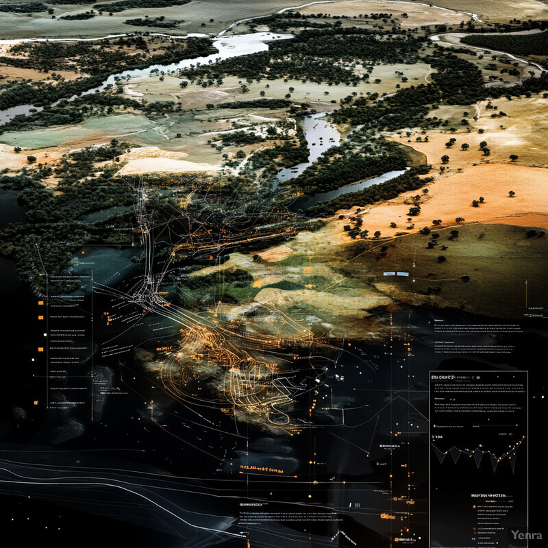
The strongest systems now combine land suitability modeling, zoning, GIS, remote sensing, earth observation, predictive analytics, decision-support systems, and habitat connectivity. That mix helps planners work with parcel records, repeated imagery, climate layers, grid and building data, ecological corridors, and public input without pretending that any one model should decide land use by itself.
This update reflects the field as of March 17, 2026 and leans mainly on USGS, NOAA, NASA, NREL, DOE, EPA, the State of California, WRI, ORNL, Stanford HAI, NYC OTI, UNESCO, and a small number of current research papers where they materially sharpen the page. Inference: the biggest gains are coming from repeated observation, faster scenario comparison, and more explicit tradeoff management, not from fully automating planning judgment.
1. Predictive Modeling of Land Suitability
Land suitability modeling is strongest when it combines soils, slope, hydrology, land cover, infrastructure access, and hazard exposure with repeated observation instead of treating suitability as a one-time score. AI helps because it can update suitability surfaces as conditions shift, which matters for agriculture, housing, conservation, and public works.
NASA says its open Prithvi geospatial foundation model improved performance across tasks including land-use classification, crop type segmentation, flood mapping, and biomass estimation, while the NASA-ISRO NISAR mission is designed to map farmland repeatedly from planting to harvest and observe crop growth and soil moisture. Inference: suitability modeling is moving away from static expert overlays toward recurrent, evidence-updated scoring that can respond to real land and crop conditions.
2. Automated Zoning Recommendations
Automated zoning support is most useful when it accelerates code interpretation, consistency checks, and scenario comparison without pretending that rezoning should become a black-box output. AI can help planners compare parcel constraints, planned growth, hazards, and development proposals far faster than manual code review alone.

California announced on April 30, 2025 that its AI-assisted permit-review tool could cut approvals that often take weeks or months down to hours or days, and the state said the software was already being used by more than 25 municipalities in the United States, Canada, and Australia. Inference: the near-term land-use win is not automatic rezoning. It is faster, more consistent development review that lets planners test policy intent against actual permit pipelines.
3. Multi-Objective Optimization
Land-use optimization is a multi-objective problem by definition. Cities and regions have to balance economic return, housing need, ecosystem integrity, accessibility, flood resilience, and emissions at the same time. AI helps by generating constrained option sets instead of forcing every decision through a single target such as growth, yield, or land value.

A 2025 Nature Communications review argues that AI is especially relevant in climate decision spaces where objectives and constraints collide, and NREL's reV framework shows what that looks like in practice by estimating renewable outcomes against land exclusions, infrastructure, and cost. Inference: the strongest planning tools should expose Pareto tradeoffs clearly enough that communities can choose among them, not hide them inside a single optimization score.
4. Remote Sensing and Image Analysis
Remote sensing has become core land-use infrastructure because repeated imagery can reveal conversion, encroachment, fragmentation, and construction long before legacy planning datasets are refreshed. AI matters here because it turns those repeated observations into land-cover maps and change signals that planners can actually use.
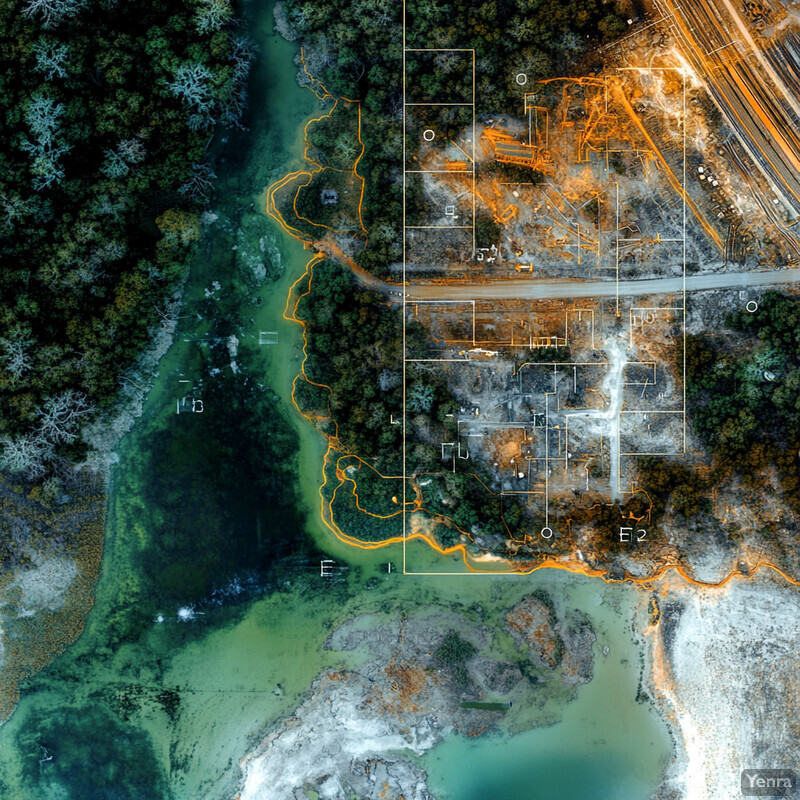
USGS announced on June 25, 2025 that Annual NLCD products now provide annual land cover and land change for the conterminous United States from 1985 through 2024. Inference: land-use monitoring is no longer limited to occasional map refreshes. It is increasingly an annual operational layer, which makes it more practical to detect conversion pressure, urban expansion, or vegetation loss before plans and enforcement fall too far behind the landscape.
5. Real-Time Data Integration
The value of AI in land planning rises when planners can combine changing environmental conditions with building, grid, and infrastructure data instead of treating each domain separately. The practical shift is from static map layers toward operational data fusion, where planning assumptions can be revised as new signals arrive.

NASA's Prithvi program is explicitly built around multi-sensor geospatial learning, and DOE's AI for Energy work spans grid management, buildings, and infrastructure optimization rather than isolated prediction tasks. Inference: the direction of travel is clear. Land-use systems are getting stronger when they can reconcile environmental observation with operational infrastructure data, making it easier to update growth, retrofit, or resilience decisions on shorter cycles.
6. Climate Adaptation Planning
Climate adaptation planning gets more useful when flood, wildfire, heat, drought, and sea-level risk become explicit inputs to parcel suitability rather than a separate resilience memo after growth decisions are mostly settled. AI helps by re-scoring land options against future hazard conditions and by making those tradeoffs easier to compare.

NOAA's Climate Mapping for Resilience and Adaptation puts climate hazards and community factors into a single planning environment so users can compare flood, heat, wildfire, drought, and social vulnerability in one workflow. Inference: the strongest adaptation-oriented land optimization now starts by asking where development should slow, shift, or harden under future conditions, not just how to protect a risky plan after the fact.
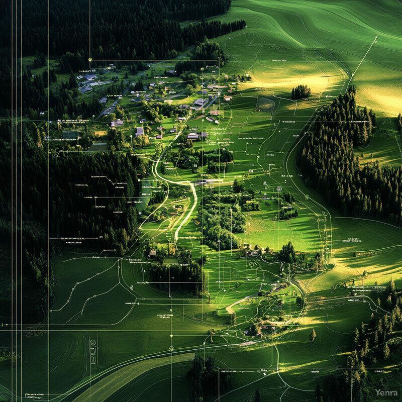
7. Urban Growth Simulation
Urban growth simulation matters because the central planning question is often not whether growth will occur, but what shape it will take. AI models help by testing sprawl, infill, transit-led development, and growth-boundary scenarios against observed land change rather than leaving those futures as abstract planning narratives.

Stanford HAI's CityPulse work uses large-scale street-view imagery and AI to identify urban change and gentrification at fine spatial scale, while USGS annual land-change products provide repeated landscape observations over decades. Inference: growth simulation gets stronger when models are calibrated against yearly visual evidence of how neighborhoods and land cover are actually changing, rather than only against older plan assumptions and decennial snapshots.
8. Resource Allocation for Agriculture
Agricultural land allocation is strongest when AI helps choose what to grow where, when to irrigate, and where conditions are drifting out of tolerance before yields collapse. That makes land-use optimization more practical because it can improve productivity on existing acreage instead of assuming expansion is the only answer.

NASA says Prithvi can support crop type segmentation and crop-yield forecasting, and NISAR will repeatedly observe crop growth and soil moisture over farmland through the growing season. Inference: AI-guided agricultural allocation is getting stronger because it can tie crop choice and management advice to repeated observation of real field conditions, not just regional averages or fixed agronomic rules.
9. Biodiversity Preservation
Biodiversity preservation becomes a real planning variable when habitat, corridors, and ecosystem function are treated as spatial constraints that carry long-term economic and safety consequences, not just as amenities. AI helps planners compare where development pressure collides with the landscapes that still matter most for species movement and ecological resilience.

WRI reported on May 21, 2025 that global forest loss reached record levels in 2024, with tropical primary forest loss sharply increased and fires driving much of the surge. Inference: biodiversity-aware land optimization can no longer assume habitat baselines are stable. It has to react to fast-moving conversion and fire pressure, which makes dynamic habitat and corridor screening much more important than static protected-area overlays alone.
10. Disaster Risk Mitigation
Disaster risk mitigation in land-use planning is strongest when flood, fire, landslide, and heat exposure are analyzed together with who and what will occupy the land. AI helps by combining hazard layers, social vulnerability, and observed land change so risky siting decisions can be challenged before they become hard infrastructure.

NOAA's CMRA and EPA's EJScreen both matter here because they bring environmental burden, social vulnerability, and climate hazard context into mapping workflows that planners already use. Inference: mitigation improves when land-use optimization scores exposure and vulnerability together, so the model can distinguish a technically buildable parcel from one that would deepen future disaster loss or inequity.
11. Scenario Planning and Simulation
Scenario planning becomes genuinely useful when it moves beyond presentation graphics and lets teams compare reproducible futures: more housing here, more solar there, tighter floodplain rules, different transport assumptions, or stronger conservation buffers. AI helps by making those scenario runs faster and more consistent across many constraints.

NREL's reV model is built to simulate renewable deployment outcomes using land-use characteristics, exclusions, and grid infrastructure, while ORNL's AutoBEM can generate building energy models at national scale for what-if analysis. Inference: land-use scenario planning is becoming more rigorous because energy, building, and siting assumptions can be tested with reusable computational pipelines instead of hand-built one-off studies.
12. Spatial Pattern Recognition
Spatial pattern recognition matters because planning failures often appear first as patterns: leapfrog development, corridor fragmentation, impervious-surface creep, or the clustering of risk near certain assets or communities. AI is useful when it helps distinguish those emerging patterns from ordinary seasonal or market noise.

USGS annual land-cover products provide repeated nationwide evidence of how landscapes change over time, while Stanford HAI's CityPulse shows that AI can detect fine-grained neighborhood change from image time series. Inference: pattern recognition becomes most valuable when it links broad land-cover trajectories with local urban signals, helping planners see fragmentation, infill, or displacement pressure as system-level patterns rather than isolated casework.
13. Infrastructure Placement Optimization
Infrastructure placement gets stronger when roads, utilities, substations, schools, and public facilities are sited against actual demand surfaces, hazard exposure, and environmental conflict instead of only around parcel availability. AI helps planners compare service reach, resilience, and cost across many candidate layouts at once.

ORNL says AutoBEM can automatically create models for about 129 million U.S. buildings, representing roughly 98% of the national building stock. Inference: infrastructure siting gets more realistic when planners can treat buildings as modeled demand and resilience assets, not just static footprints, because facility placement can then be tested against actual energy and service consequences across a region.
14. Carbon Footprint Analysis
Carbon analysis in land-use planning needs to measure both sides of the ledger: operational emissions from buildings, transport, and infrastructure, and the sequestration value of forests, wetlands, and soils that development may displace. AI helps because it can compare those impacts across land-use alternatives more consistently and at larger scale.

WRI's 2025 forest-loss release makes the carbon problem concrete by showing how fire-driven forest loss is accelerating across major landscapes, while ORNL's building-stock modeling shows how detailed operational energy analysis can now be performed at very large scale. Inference: carbon-aware land optimization should no longer compare only tailpipe and building emissions. It also has to price in the lost sequestration value of natural land conversion, especially where forests and wetlands are already under stress.
15. Cultural and Social Sensitivity Modeling
Cultural and social sensitivity modeling matters because some land carries importance that does not show up in price signals or engineering feasibility alone. AI can help planners organize community feedback, flag heritage context, and surface places where optimization logic would otherwise erase social memory, cultural practice, or local identity.

New York State's language dashboard reports that 30% of residents speak a language other than English at home, and New York City's Community Language Profiles map turns that diversity into neighborhood-level planning context. Inference: culturally and socially sensitive land-use modeling gets stronger when language communities and local institutions are treated as planning inputs, not as after-the-fact outreach categories once a plan is already fixed.
16. Land Value Forecasting
Land value forecasting is useful when it functions as an early-warning input for housing, infrastructure, and anti-displacement policy rather than as a standalone growth-maximization tool. AI helps reveal where transit, rezonings, visual neighborhood change, or speculative activity may be reshaping land markets before those shifts become obvious in annual assessment cycles.

The Census Bureau published a 2023 working paper on identifying gentrification using machine learning, and Stanford HAI's CityPulse work shows that visual neighborhood change can be mapped at much finer scale than traditional citywide trend review. Inference: land-value forecasting is most responsible when it is used to trigger affordability, tenant-protection, or land-banking responses, not simply to chase appreciation.
17. Precision Conservation
Precision conservation is strongest when planners can prioritize parcels not only by ecological value, but also by the kind of pressure bearing down on them. AI helps because it can combine habitat value, corridor importance, fire exposure, nearby development, and cost into a ranked conservation strategy instead of a generic preservation wish list.
WRI and partners now publish annual forest-loss driver data for 2001 through 2024, separating dominant pressures such as commodity-driven deforestation, shifting agriculture, forestry, wildfire, urbanization, and other natural disturbances. Inference: precision conservation works better when models can target not just where ecological value is high, but which type of intervention is needed in each place to counter the dominant threat.
18. Sustainable Intensification of Agriculture
Sustainable intensification matters because better land-use outcomes often depend on producing more from existing farmland without expanding deeper into forests, wetlands, or marginal land. AI helps when it links higher output to better timing, water use, crop choice, and field targeting instead of simply recommending more inputs.

NASA's crop and land-observation work points in this direction: Prithvi supports crop-yield forecasting and field interpretation tasks, while NISAR will provide repeated crop and soil-moisture observations. Inference: the strongest sustainable intensification strategies are the ones that raise output by improving observation and targeting on existing land, because that is what actually reduces pressure for conversion elsewhere.
19. Energy Infrastructure Siting
Energy siting is a land-use problem before it is a generation problem. Solar, wind, storage, and transmission projects all compete with habitat, farming, settlement, and scenic or cultural constraints. AI helps by narrowing candidate areas earlier, so developers and planners can avoid obvious conflict zones before the siting fight hardens.

NREL's reV model is explicitly designed to estimate renewable generation, cost, and capacity potential while incorporating land-use characteristics, exclusions, and grid infrastructure. Inference: AI-driven siting is most valuable when it reduces downstream conflict by screening land and transmission constraints up front, and when it connects project siting to broader smart-grid and transmission planning rather than evaluating projects in isolation.
20. Stakeholder Engagement Tools
Stakeholder engagement tools are strongest when they help planners cluster comments, summarize recurring themes, translate input, and keep track of who may be underrepresented in a planning process. AI is useful here because large land-use consultations can generate more text and meeting material than small planning teams can review consistently on their own.

New York City's Community Planning Framework is built around earlier and more inclusive neighborhood participation, and the city's AI Action Plan provides a working example of how public-sector AI use is being framed around accountability and public interest. Inference: the strongest land-use engagement systems will use AI to support deliberation at scale, not replace it, by making public input more legible while keeping the decision process visibly accountable to people.
Sources and 2026 References
- NASA Science: AI geospatial model helps researchers better understand Earth
- NASA: NASA-ISRO mission will map farmland from planting to harvest
- Governor of California: New AI tool to supercharge the approval of building permits
- Nature Communications: Artificial intelligence and climate action: opportunities, considerations, and policy levers
- USGS: About Annual NLCD
- USGS: Annual NLCD lengthens land-cover record to 40 years
- NOAA: Climate Mapping for Resilience and Adaptation
- DOE: Artificial Intelligence for Energy
- NREL: Renewable Energy Potential model (reV)
- ORNL: Automatic Building Energy Modeling (AutoBEM)
- WRI: Global forest loss shatters records in 2024, fueled by massive fires
- WRI: What does the new data show about drivers of global forest loss?
- EPA: EJScreen update
- Stanford HAI: Using AI to Map Urban Change
- U.S. Census Bureau: Identifying Gentrification Using Machine Learning
- New York State Office of General Services: Language Dashboard
- NYC Community Language Profiles Map
- NYC Council: Community Planning Framework
- NYC Office of Technology and Innovation: Artificial Intelligence Action Plan
Related Yenra Articles
- Urban Planning Tools extends these land-allocation choices into municipal permitting, infrastructure, and capital planning workflows.
- Smart City Technologies shows how land-use choices connect to utilities, mobility, sensing, and service operations.
- Demographic Analysis for Urban Planning adds the population and household signals that should shape where growth is allowed.
- Climate Adaptation Strategies focuses on the hazard and resilience logic that increasingly sits inside land-allocation decisions.
- Natural Habitat Restoration covers the restoration side of the same land tradeoffs discussed here.
- Geospatial Analysis provides the mapping and data-integration layer behind most operational land-use optimization systems.