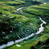
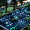
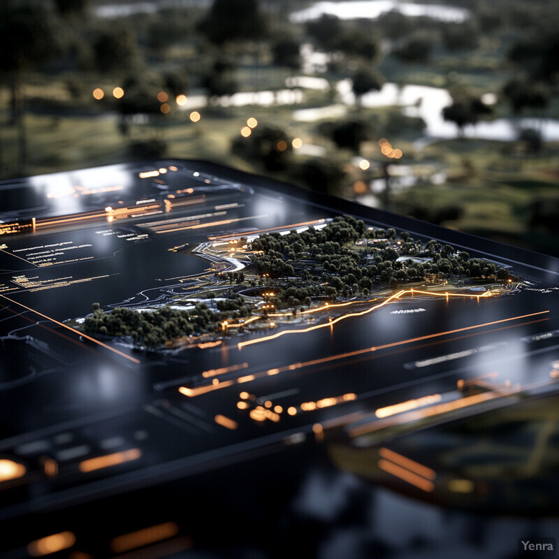
Real-Time Data Integration 0 - Image Index | 20 Ways AI is Advancing Land Use Optimization Real-Time Data Integration in Urban Planning: A 3D rendering of a cityscape at night, with a focus on the integration of real-time data into its infrastructure. The scene is set against a dark background, with various buildings and structures illuminated by orange lights that stretch across the horizon. This creates a sense of depth and dimensionality, drawing the viewer's attention to the heart of the city. In the foreground, a large park or plaza area is visible, featuring several trees and greenery. The overall atmosphere is one of modernity and innovation, with the integration of real-time data technology seamlessly incorporated into the urban landscape.