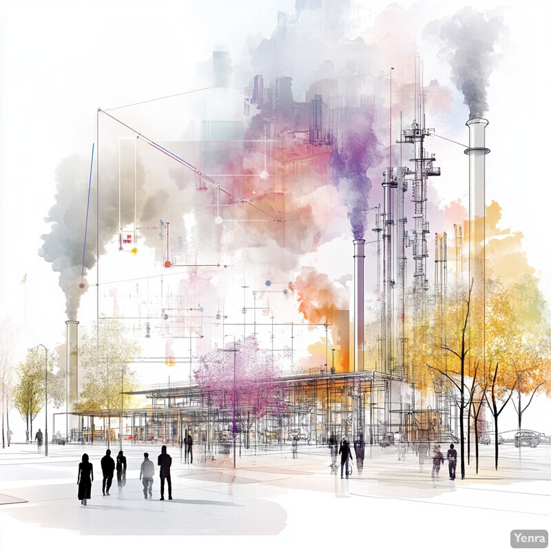
Air-quality AI is strongest when it shortens the distance between observation and action. Agencies now have regulatory monitors, low-cost sensors, satellites, weather models, traffic feeds, smoke intelligence, and health guidance, but the operational challenge is turning that flood of inputs into a current, trustworthy picture of what people are breathing.
That is where AI has become genuinely useful. It helps improve sensor fusion, data assimilation, downscaling, time series forecasting, anomaly detection, and source apportionment so teams can spot hot spots, anticipate episodes, and communicate risk earlier. Strong systems still depend on chemistry, calibration, meteorology, and public-health practice.
This update reflects the field as of March 17, 2026 and leans mainly on AirNow, EPA, NASA, NOAA, CDC, Google, and recent peer-reviewed studies. Inference: the biggest gains are coming from better coverage, better quality control, and better decision support, not from replacing environmental science with a black box.
1. Real-Time Data Fusion
Air-quality monitoring becomes more useful when many imperfect signals are combined into one operational view. Regulatory monitors, low-cost sensors, satellites, smoke products, and forecast models all have blind spots on their own. AI-assisted sensor fusion and data assimilation help agencies build a more current map of conditions than any single source can provide.

AirNow remains the clearest operational example of this pattern, while EPA's Air Sensor Data Tools and Remote Sensing Information Gateway show how agencies increasingly combine sensor data, monitoring networks, and geospatial context. NASA's newer near-real-time TEMPO products extend that stack from space. Inference: AI matters most here when it reconciles conflicting or incomplete evidence into a better current-state map rather than treating any one feed as complete.
2. High-Resolution Spatial Modeling
Hyperlocal pollution mapping is one of the strongest practical uses of AI in this field. Traditional air-quality products are often too coarse to describe what happens around specific roads, schools, industrial corridors, or neighborhoods. AI-assisted downscaling and earth observation help turn sparse or mixed observations into finer spatial estimates.

NASA's TEMPO mission now provides hourly daytime observations over North America, and a 2025 npj Climate and Atmospheric Science paper showed that high-resolution data-fusion methods can reconstruct fine-scale PM2.5 fields from coarse and incomplete measurements. Inference: street- and neighborhood-scale modeling is most credible when it is used to screen likely hot spots for follow-up, not to pretend every block estimate is exact.
3. Temporal Forecasting
Better forecasts depend on treating air quality as a coupled atmosphere-and-emissions problem rather than just extrapolating yesterday's pollution. AI-based time series forecasting is most useful when it is tied to meteorology, smoke transport, and changing emissions patterns. That is what improves next-day and next-week guidance for agencies and the public.

NOAA Global Systems Laboratory's GEFS-Aerosols work shows how operational air-quality guidance increasingly blends weather and aerosol forecasting, while the 2025 GeoNet paper demonstrated that geostationary satellite observations can materially improve AI-based next-day NO2 forecasts. Inference: forecasting gets stronger when AI is plugged into operational atmospheric systems rather than trained on pollutant history alone.
4. Intelligent Sensor Placement
Air-quality networks get more useful when sensors are placed where variability, exposure, and monitoring gaps actually are. AI can help agencies decide where additional monitors or low-cost devices will capture more meaningful information instead of simply duplicating existing coverage. The strongest placement strategies also account for environmental justice rather than optimizing only for convenience.

A 2023 GeoHealth study showed that data-driven PM2.5 network design can shift monitors toward underserved nonwhite and low-income neighborhoods while still capturing pollution variability. Inference: the strongest placement models optimize both scientific coverage and fairness, especially in cities where current monitoring remains sparse or uneven.
5. Anomaly Detection
Air-quality operations need to separate real pollution events from drifting sensors, noisy feeds, and communications glitches. That is where anomaly detection earns its keep. The goal is not just to flag a spike, but to help analysts decide whether the spike reflects an actual smoke plume, an industrial upset, or a sensor problem.

EPA's Air Sensor Data Tools and Air Sensor Collocation Macro Analysis Tool are built around the practical need to examine performance, collocation behavior, and data quality in sensor-heavy workflows. Inference: anomaly detection is most valuable when it helps technicians and analysts respond faster to questionable data without automatically treating every unusual value as either truth or error.
6. Data Gap Filling
Monitoring networks fail in ordinary ways: outages, calibration downtime, dropped telemetry, or short-lived sensor failure. AI helps keep records usable by inferring missing values from nearby stations, historical structure, meteorology, or network graphs. The strongest gap-filling systems make continuity better without hiding what was observed and what was reconstructed.

The 2023 Environmental Science & Technology study on graph machine learning for missing tropospheric ozone data is a good benchmark because it showed that longer gaps can be reconstructed more credibly when relationships among stations are modeled explicitly. Inference: AI-based gap filling is strongest as a quality-support layer for analysis and forecasting, especially when imputed values remain clearly marked rather than silently replacing measured data.
7. Emissions Source Attribution
Source attribution matters because the same pollution number can imply very different actions depending on whether it comes from traffic, industry, wood smoke, wildfire transport, or meteorology-driven buildup. AI helps agencies move faster from concentration maps to likely causes, especially when paired with formal source-apportionment methods and meteorological normalization.
EPA's CMAQ ISAM is a formal framework for separating source contributions, while a 2025 study in Greater Bangkok used machine-learning meteorological normalization and SHAP analysis to separate emissions effects from weather effects on PM2.5. Inference: AI is most useful here when it helps analysts distinguish controllable emission signals from meteorological noise rather than collapsing the two together.
8. Predictive Analytics for Policy Impact
Policy work is stronger when teams can compare likely outcomes before a rule, traffic intervention, or emissions-control strategy is implemented. That is a practical use of predictive analytics: estimating how different air-quality scenarios could change exposure, health burden, and costs. The strongest systems do not skip established public-health methods. They help agencies generate better scenarios for them.

EPA's BenMAP-CE and COBRA remain the most grounded public tools for translating air-quality changes into health and economic outcomes. Inference: AI adds the most value when it helps agencies create faster, more realistic scenario inputs for those decision-support systems instead of bypassing the well-established concentration-response and policy-analysis framework underneath them.
9. Dynamic Air Pollution Alerts
Public alerts work best when they reflect changing conditions quickly enough to affect behavior. In air quality, that often means combining current measurements, smoke information, forecasts, and health messaging into location-aware products that people will actually use. AI is helpful here when it improves timeliness and targeting inside a trusted alert system.

AirNow's Fire and Smoke Map and mobile app are good examples of what strong public alerting looks like in 2026: current conditions, smoke context, health advice, and location-aware access through a familiar interface. Inference: the most effective alert systems are not the ones with the flashiest AI. They are the ones that insert better data and faster updates into communications people already trust.
10. Integrating Traffic and Meteorological Data
Urban air quality is one of the clearest cases where emissions and weather have to be interpreted together. Congestion, freight activity, wind, mixing height, humidity, and heat can all change what residents experience at street level. AI becomes useful when it helps cities understand what they can control immediately and what they need to forecast around.

Google's Project Green Light shows one operational version of this idea by using AI and traffic engineering to reduce stop-and-go emissions at signalized intersections. The 2025 Bangkok separation study shows the analytical side: meteorology can mask or amplify emission changes if analysts do not separate the drivers. Inference: traffic optimization matters most when it is treated as one controllable input inside a broader weather-aware air-quality system.
11. Health Impact Forecasting
Forecasting pollution is only part of the public-health problem. Agencies also need to estimate who is likely to be affected, how severe the impacts could be, and when public guidance should change. AI helps most when it connects air-quality forecasts to population risk, especially during smoke events and periods of sustained ozone or particle pollution.

CDC continues to emphasize the cardiovascular and respiratory effects of air pollution, while EPA's BenMAP documentation shows how air-quality changes can be tied to quantified health and economic impacts. Inference: the strongest health-impact forecasting systems do not stop at a pollutant curve. They connect exposure guidance to likely consequences for vulnerable populations.
12. Automated Compliance Checking
Regulatory air-quality work involves documentation, modeling, screening, and exception handling as much as measurement. AI can help review large volumes of model outputs, identify unusual episodes, and organize evidence for staff, but compliance still depends on formal methods and human accountability. The strongest use is assisted triage, not automatic regulatory judgment.

EPA's air-quality modeling pages, permit modeling guidance, exceptional-events treatment guidance, and PM2.5 tiering tool make clear that attainment and compliance remain rule-governed, model-based processes. Inference: AI can help pre-screen scenarios, organize submittals, and flag anomalies, but regulatory decisions still rest on established methods and expert review.
13. Edge Computing for On-Site Analysis
Not every air-quality decision can wait for cloud processing. Mobile networks fail, bandwidth is limited, and some deployments need immediate local screening. Edge computing helps by running filtering, quality checks, or lightweight inference near the sensor, vehicle, or site where the data is generated.
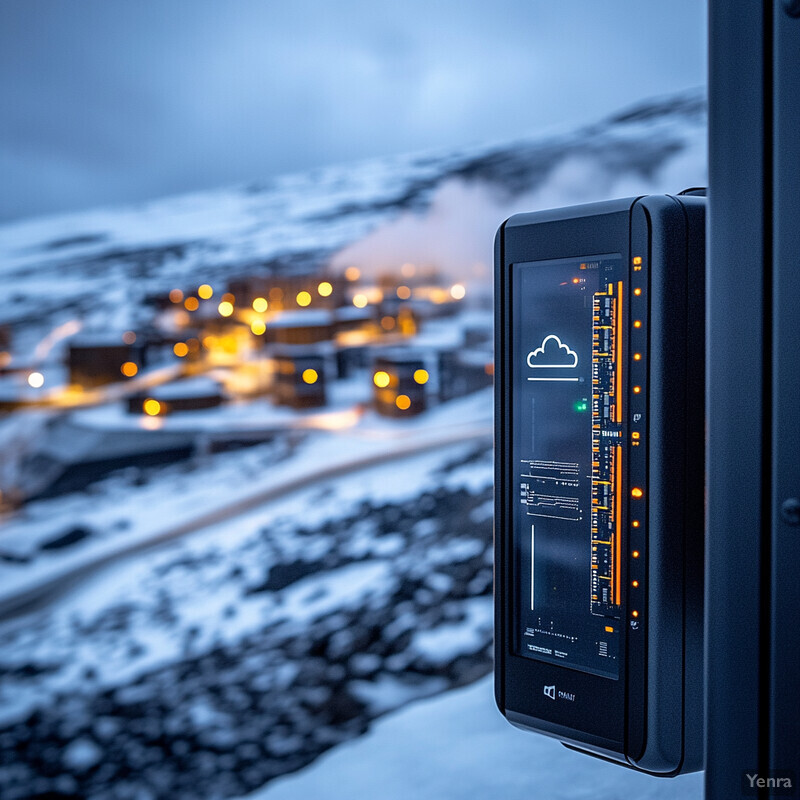
A 2025 systematic review of IoT-based air-quality monitoring and AI technologies found growing interest in more distributed monitoring architectures that can filter, analyze, and react closer to the sensor. Inference: edge AI is strongest where connectivity is unreliable or where on-site screening matters more than shipping every raw reading to the cloud.
14. Satellite Image Analysis
Satellite observation is now a much more practical part of routine air-quality work than it was a few years ago. It cannot replace ground monitors, but it can reveal large-scale transport, fill spatial blind spots, and improve situational awareness during complex events. AI helps extract more timely and more local answers from these repeated orbital views.
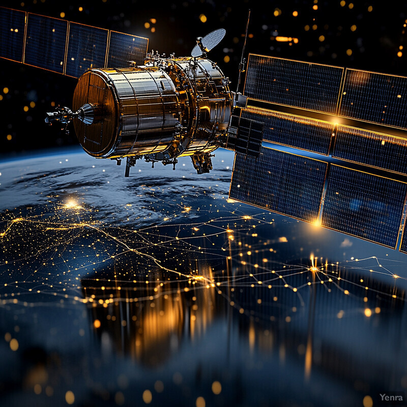
NASA's TEMPO mission is now an operationally relevant air-quality observing asset over North America, and NASA's 2025 release of higher-quality near-real-time data plus special 10-minute scans over Southern California show how satellite monitoring is becoming more useful for smoke and urban episodes. Inference: satellite AI is strongest when it fills spatial blind spots and triggers follow-up, not when it is treated as a direct replacement for ground truth.
15. AI-Enhanced Source Modeling
Source modeling gets more useful when emissions inventories, observations, and atmospheric models can be compared and corrected faster. AI can help with inverse modeling, inventory adjustment, and pattern finding across large observational datasets. The strongest use is not bypassing chemistry transport models. It is helping them converge on more realistic inputs and explanations.

The 2022 Atmospheric Chemistry and Physics paper on deep-learning inverse modeling of Chinese NOx emissions is a strong example of AI correcting source estimates using observed atmospheric behavior. EPA's Remote Sensing Information Gateway shows the data side of that trend by making multi-source observations more usable. Inference: AI-enhanced source modeling is most credible when it augments inventories and chemistry models rather than pretending they are no longer needed.
16. Adaptive Calibration of Sensors
Low-cost sensors are useful only if their biases and drift are managed over time. AI helps by learning how a sensor behaves under different conditions and updating corrections as that behavior changes. This is one of the most grounded applications in the field because sensor calibration is a daily operational need, not a speculative future workflow.

EPA's Air Sensor Collocation Macro Analysis Tool is built around the reality that collocation and calibration are not optional for low-cost monitoring. The 2025 study by Sousan and colleagues showed machine-learning calibration can materially improve agreement with higher-cost reference instruments. Inference: dense low-cost networks become far more useful when calibration is ongoing and documented rather than treated as a one-time setup step.
17. Urban Planning Optimization
Air-quality intelligence becomes more valuable when it influences siting and design decisions before exposure is locked in. Hyperlocal maps can help planners think differently about schools, freight routes, bus corridors, street canyons, signal timing, and greening interventions. The strongest planning use is not another dashboard. It is changing where and how cities build and operate.

High-resolution PM2.5 reconstruction research and intersection-level traffic optimization are pushing planning closer to decisions that affect real exposure patterns. Inference: urban air-quality AI is strongest when it changes placement and street-design choices for high-exposure locations, especially around schools, housing, and major transport corridors.
18. Personalized Exposure Estimation
Citywide AQI values are useful, but they do not describe what one person experiences on a particular route, at a particular time, or in a particular indoor-outdoor pattern. Personalized exposure estimation uses sensors, mobility, and context to get closer to that lived reality. AI helps by combining location, activity, and environmental data into more individual guidance.

EPA's TracMyAir research app and a 2025 wearable pilot study on personal air pollution exposure estimation both point toward finer-grained exposure tracking that follows time, place, and activity rather than assigning one citywide value to everyone. Inference: personalized exposure tools are most useful for route choice, vulnerable-population support, and research, but they still need careful communication about uncertainty and limits.
19. Scenario Analysis for Climate Change
Long-term air-quality planning is becoming harder because climate change is altering the background conditions under which ozone and particle pollution form, persist, and move. Scenario analysis helps agencies test how warming, wildfire smoke, and emissions controls interact over time. AI is useful when it helps those scenarios update faster and stay connected to current observations.
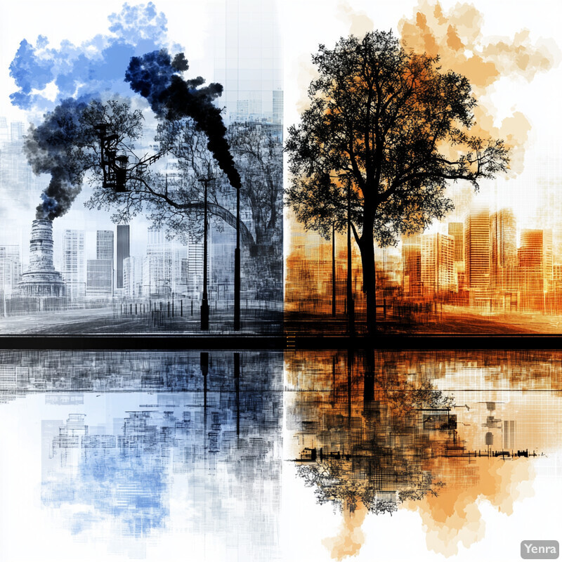
CDC's climate-and-health guidance makes the operational point plainly: warming can worsen ozone formation, wildfire smoke can increase particle exposure, and climate trends can complicate long-term public-health planning. A 2026 Atmospheric Chemistry and Physics paper on ozone-temperature sensitivity in the United States adds recent research detail by showing how emission controls interact with climate-driven ozone behavior. Inference: scenario analysis matters most when it helps agencies plan for a tougher background climate rather than assume historical air-quality relationships will hold.
20. Enhanced Public Engagement Tools
Public engagement improves when air-quality information is simple, trusted, and tied to action. AI can help summarize, map, and localize information, but the core requirement is still clarity. The strongest engagement tools do not overwhelm people with technical detail. They help residents understand what conditions are now, what may happen next, and what to do about it.

AirNow remains the strongest public-facing example in this space because it pairs AQI, smoke context, maps, apps, and health messaging inside a familiar interface used by agencies and the public. Inference: the most credible engagement tools are not the ones that sound most futuristic. They are the ones that translate complex environmental evidence into clear, trusted, repeatable action guidance.
Sources and 2026 References
- AirNow: About AirNow
- AirNow: Fire and Smoke Map
- AirNow: Mobile App
- EPA: Air Sensor Data Tools
- EPA: Air Sensor Collocation Macro Analysis Tool
- EPA: Remote Sensing Information Gateway
- EPA: Integrated Source Apportionment Method in CMAQ
- EPA: How BenMAP-CE Estimates Health and Economic Effects of Air Pollution
- EPA: COBRA Questions and Answers
- EPA: Air Quality Modeling
- EPA: Guidance on Ozone and Fine Particulate Matter Permit Modeling
- EPA: PM2.5 Tiering Tool for Exceptional Events Analysis
- EPA: Treatment of Air Quality Monitoring Data Influenced by Exceptional Events
- EPA: TracMyAir Web Application for Researchers
- CDC: Air Pollution and Climate Change
- NASA Science: TEMPO Mission
- NASA: Mission Monitoring Air Quality From Space Extended
- NASA: New High-Quality Near Real-Time Air Quality Data
- NASA Earthdata: TEMPO Adds 10-Minute Scans Over Southern California
- NOAA ARL: GEFS-Aerosols
- CDC: About Air Quality and Health
- Google: Project Green Light
- Atmospheric Chemistry and Physics: Unleashing the potential of geostationary satellite observations in air quality forecasting through artificial intelligence techniques
- Atmospheric Chemistry and Physics: Inverse modelling of Chinese NOx emissions using deep learning
- Atmospheric Chemistry and Physics: Anthropogenic emission controls reduce ozone-temperature sensitivity in the United States
- npj Climate and Atmospheric Science: High-resolution data fusion for PM2.5 monitoring and prediction
- Environmental Science & Technology: Graph machine learning for improved imputation of missing tropospheric ozone data
- Environmental Pollution: Advancing low-cost air quality monitor calibration with machine learning methods
- Environmental Science and Pollution Research: Machine learning-based quantification and separation of emissions and meteorological effects on PM2.5 in Greater Bangkok
- JMIR mHealth and uHealth: A New Wearable System for Personal Air Pollution Exposure Estimation: Pilot Observational Study
- Artificial Intelligence Review: Advancements in air quality monitoring: a systematic review of IoT-based air quality monitoring and AI technologies
- GeoHealth: Data-Driven Placement of PM2.5 Air Quality Sensors in the United States: An Approach to Target Urban Environmental Injustice
Related Yenra Articles
- Environmental Monitoring broadens the view from air pollution to wider sensing and stewardship of natural systems.
- Weather Forecasting shows how atmospheric prediction feeds many air-quality models and public alerts.
- Early Warning Systems for Natural Disasters extends the warning side of smoke, heat, and other air-related hazards.
- Climate Adaptation Strategies connects air-quality intelligence to long-term resilience planning.
- Greenhouse Gas Emission Modeling connects near-term pollution analysis to broader emissions accounting and scenario work.
- Smart City Technologies shows how air-quality sensing fits into urban operations, mobility, and public services.