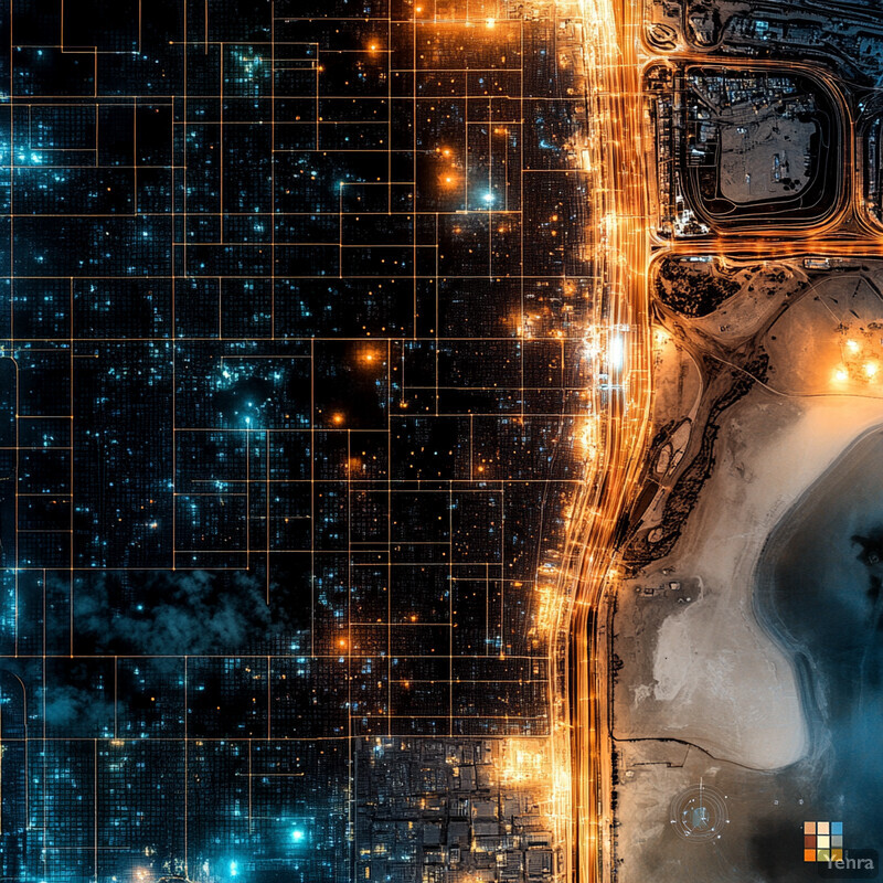
High-Resolution Spatial Modeling 0 - Image Index | 20 Ways AI is Advancing Air Quality Monitoring and Prediction Cityscape Aerial View: An aerial view of a cityscape at night, showcasing its infrastructure and layout. The left side of the image is dominated by what appears to be a large body of water or wetland area, with numerous dark spots scattered throughout, likely indicating areas of vegetation. Beyond this, residential areas are visible, featuring clusters of homes that blend into one another due to their uniformity in size and spacing. These neighborhoods are interspersed with larger structures, possibly commercial buildings or public facilities, which stand out for their higher density of lights and more substantial footprint. The right side of the image is characterized by a wide road or highway, flanked on either side by what seem to be industrial areas or warehouses, recognizable by their large, open spaces and smaller clusters of buildings. Along this highway, there are numerous intersections where roads meet, creating a grid-like pattern that reflects the city's organized layout. Furthermore, several bridges span over the body of water, connecting different parts of the city and facilitating movement across its landscape. Overall, the image provides a comprehensive view of the city's infrastructure, highlighting both its residential and commercial areas while also showcasing its transportation networks.