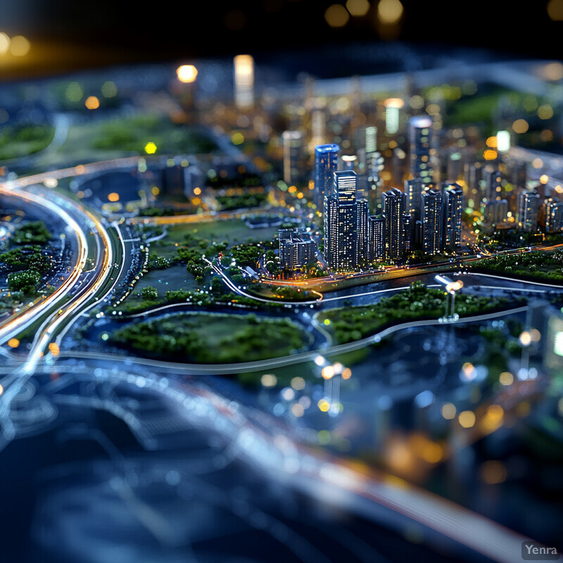
Urban Planning Optimization 0 - Image Index | 20 Ways AI is Advancing Air Quality Monitoring and Prediction Optimizing Urban Infrastructure: An urban planning model, showcasing a city's infrastructure and layout. The model appears to be a miniature representation of a metropolitan area, with roads, buildings, and other structures carefully crafted to demonstrate the optimal use of space and resources. The blue color dominates the scene, suggesting that water bodies or transportation systems are prominent features in this urban landscape. In addition to the physical elements, the model may incorporate data-driven insights and analytics to inform decision-making processes for city planners and policymakers. This approach allows them to visualize and optimize various aspects of urban development, such as traffic flow, public transportation networks, and environmental sustainability initiatives.