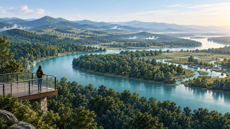
The Roanoke River connects a large watershed across Virginia and North Carolina. A useful visit or environmental question starts with a particular reach: an upper tributary, a reservoir, a river corridor or the lower floodplain.
Name the place before choosing a map, gauge or habitat description. The North Carolina refuge is one part of the wider system. Conditions at a distant station or in a different reach may tell you little about access at your destination.
Find the reach within the basin
North Carolina DEQ’s Roanoke basin planning resources provide a starting point for watershed context and water-quality planning. Record the map scale and publication date, and distinguish a basin boundary from public land or an access route.
On a narrow screen, scroll the table sideways. Keyboard users can focus it and use the arrow keys.
| Setting | Useful observation | Information to obtain |
|---|---|---|
| Upper watershed and tributaries | Streamside vegetation, tributary connections and surrounding land use. | Named stream, catchment map and local access manager. |
| Reservoir or regulated reach | Water level, shoreline habitat and downstream connections. | Operating context and the correct monitoring station. |
| Lower river floodplain | Side channels, wooded wetlands and seasonal inundation. | Reach-specific levels and land-manager information. |
| Refuge tract | Habitat and wildlife from permitted routes. | Tract boundary, access method and current closures. |
Follow tributaries and downstream connections on the map. A watershed is the land draining toward an outlet; its ecological context extends beyond the water visible from a bridge.
Understand why the lower floodplain matters
The U.S. Fish and Wildlife Service describes Roanoke River National Wildlife Refuge in Bertie County, North Carolina, as protecting bottomland forest in the river floodplain. Its forests and wetlands support nesting songbirds and seasonal waterfowl.
Floodplain habitat changes with river levels, season and local elevation. A surface that is dry during one visit may be inundated during another. Watch for connections among the main channel, low wooded areas and side channels from a permitted observation point.
Record a bird or plant only at the identification level the observation supports. A listed species indicates the refuge’s habitat value and known use; it does not promise a sighting on a particular day.
Read a gauge in its own context
USGS explains gage height as water-surface height above a station-specific reference datum. It is distinct from the depth beneath your boat or the water level relative to a trail. Discharge measures water volume passing per unit time.
On a monitoring page, retain station ID, location, parameter, units, timestamp, timezone and provisional-data notice. Read the recent trend as well as the latest value. Use the station the land manager identifies as relevant, and consult official forecasts and local access information for decisions.
Prepare a specific observation visit
The refuge’s current visitor guidance identifies access routes, including the Kuralt Trail, and explains that some tracts require boat access. It also describes flooding and closures for managed activities. Confirm the selected route’s status with the refuge close to departure.
Choose a permitted observation place suited to your group’s access needs. Check parking, route surface, distance and return arrangements. Treat a boat-dependent visit as a separate trip requiring appropriate skills, equipment and local planning. Do not enter a flooded or closed route to complete an observation.
Record date, weather, location, water condition, habitat and observation effort, such as minutes spent watching from one point. Repeat with similar effort when comparing visits. The environmental monitoring guide helps turn those notes into a consistent record.
Roanoke reach and visit record
Roanoke reach and visit record — plain-text download. Save a copy and fill it in with your own information. It includes instructions, example assumptions and source references.