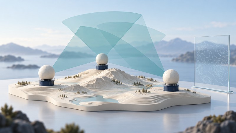
A useful weather radar network needs a view of the air where hazards develop. CASA—Collaborative Adaptive Sensing of the Atmosphere—explores how several nearby, coordinated radars can add detail in the lower atmosphere. Its history connects radar engineering with the practical work of forecasters and emergency managers.
Why the nearest radar matters
Radar transmits pulses and analyzes returning energy. Its beam occupies a volume that broadens with distance. Earth’s curvature and the atmosphere’s bending of radio waves cause a low-elevation scan to sample progressively higher air as range increases under typical conditions. Terrain can block parts of the view. NOAA’s radar-beam explanation describes how changing atmospheric conditions alter that path.
A distant radar may therefore see a storm’s middle levels while a nearby radar samples lower features. The NWS discussion of radar sampling explains both overshooting shallow features and the loss of fine detail as a beam widens. Coverage is a three-dimensional question: a colored range circle alone says little about the height or quality of the observation.
What distributed, collaborative and adaptive mean
On a narrow screen, scroll the table sideways. Keyboard users can focus the table region and use the arrow keys.
| Approach | Purpose | What to examine |
|---|---|---|
| Distributed | Place several short-range sensors across a region. | Terrain, beam heights, overlap and the areas left uncovered. |
| Collaborative | Combine observations and coordinate the network. | Calibration, time alignment, communications and integration with other sensors. |
| Adaptive | Adjust scanning to evolving weather and information needs. | Which features get revisited, how often, and with what tradeoffs elsewhere. |
CASA uses X-band weather radar in its distributed-network work. Shorter-wavelength radar permits compact equipment, while rain attenuation—weakening of the signal along its path—creates an important measurement challenge. Multiple views and appropriate processing help address that challenge. They still require quality control and a clear account of missing or degraded data. These system choices are described in the CASA study of X-band attenuation.
From an idea to documented deployments
The 2017 AMS account of the CASA Dallas–Fort Worth testbed traces the program from its NSF Engineering Research Center origins to the four-radar Integrated Project 1 network established in southwestern Oklahoma in 2006. Later work moved into the Dallas–Fort Worth area through a partnership supporting radar sites, communications and operations.
That report documents CASA observations being delivered into the NWS AWIPS-II forecaster workstations. Its January 15, 2017 case shows radar information used to locate and track a compact tornado. This is evidence of a particular operational use; a general estimate of improved warning lead time would require evaluation across many events.
As checked on October 3, 2026, the UMass Paros Center research page describes the Dallas Fort Worth Living Lab as both a real-time warning system and an interdisciplinary research platform. It identifies seven CASA X-band radars alongside rain gauges, disdrometers and infrasound sensors, working with emergency managers and NWS forecasters. That institutional description establishes the platform’s scope; it is not a live uptime report for every sensor.
Follow the path from echo to decision
On a narrow screen, scroll the table sideways. Keyboard users can focus the table region and use the arrow keys.
| Stage | Example | Evidence needed |
|---|---|---|
| Observation | Reflectivity or radial velocity from a radar scan. | Timestamp, scan geometry, calibration and quality flags. |
| Derived analysis | Estimated rainfall or wind information assembled from observations. | Processing method and comparison with suitable independent measurements. |
| Forecast | A projection of how weather will develop. | Issue time, valid time, lead time and evaluation against later observations. |
| Warning and response | An actionable message and a decision by its recipient. | Issuing authority, delivery, interpretation and the resulting action. |
Radar radial velocity concerns motion toward or away from a radar. Combining suitable views can support wind analysis; a single velocity image should be read with its viewing direction in mind. Likewise, a sharper rainfall picture and a better public warning are related objectives with different tests. Ask which stage an improvement actually addresses.
A practical way to assess a radar claim
For an unfamiliar radar product, record the provider, latest scan time, observation type, geographic coverage and whether the display is experimental or operational. Check how it signals an outage. Use official warnings and reliable alert channels for immediate decisions. A research visualization is most useful when its place in that information system is clear.