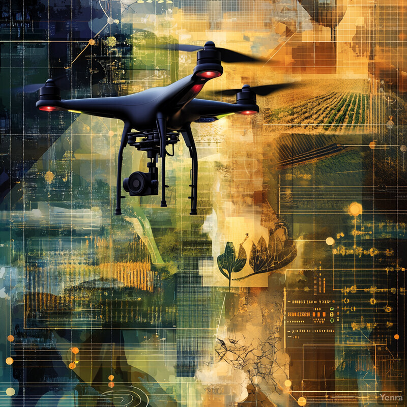
Climate adaptation is one of the clearest places where AI already has practical value. The strongest current uses are not science-fiction-style autonomous climate control. They are systems that help people turn large volumes of sensor, satellite, weather, infrastructure, and public-health data into faster local decisions about flooding, heat, drought, agriculture, power, insurance, and emergency response.
That matters because the adaptation problem is increasingly local. Communities do not adapt to a global-average temperature curve. They adapt to a specific drainage network, crop calendar, shoreline, feeder circuit, watershed, hospital system, or evacuation route. AI becomes useful when it helps bridge that gap through downscaling, better earth observation, stronger time series forecasting, and more usable decision-support systems.
This update reflects the field as of March 17, 2026 and leans toward the most credible, ground-truthed layers of the stack: official early-warning programs, NASA and NOAA geospatial work, crop-yield and water-stress forecasting, grid operations, wildfire detection, and multi-hazard planning. Inference: the biggest adaptation story is not that AI replaces physical models or local expertise. It is that AI is increasingly making those systems faster, more local, and easier to operationalize.
1. Advanced Climate Modeling and Downscaling
AI is making climate information more useful at the scale where adaptation decisions actually happen. Global climate models remain essential, but their raw output is often too coarse for street-level drainage design, county crop planning, or neighborhood heat response. AI-assisted downscaling can help translate coarse climate signals into finer local risk layers, while better data assimilation and post-processing can reduce bias and speed up scenario generation.

MIT researchers showed in 2024 that machine-learning downscaling can turn coarse climate simulations into city-scale outputs fast enough to be much more practical for planners, while NASA's expanded Prithvi geospatial model is explicitly aimed at downstream tasks such as disaster monitoring, crop-yield estimation, and land-use analysis. Inference: the highest-confidence near-term value is not replacing physics-based climate models. It is making them locally actionable faster and at lower cost for resilience work.
2. Early Warning Systems for Extreme Weather
AI is strengthening early warning systems by helping forecasters move faster from observation to alert. In practice that often means using nowcasting, radar interpretation, hydrologic prediction, and alert-prioritization tools to extend lead time or sharpen the geographic precision of warnings. That matters most in floods, flash storms, extreme heat, and compound hazards where a few extra minutes or a more precise map can change outcomes.

Google's recent Flood Hub work is increasingly aimed at governments and aid organizations, not just public forecast display, while Google's AI weather nowcasting rollout in Africa shows how machine learning can deliver more localized short-horizon forecast products at broader scale. Inference: the most grounded adaptation win here is not autonomous warning issuance. It is better warning support embedded inside official meteorology, hydrology, and emergency-response chains.
3. Predictive Analytics for Crop Yields and Agricultural Planning
Climate adaptation in agriculture increasingly depends on turning uncertainty into earlier planting, irrigation, and variety decisions. AI-based predictive analytics can combine weather, soils, historical yields, and satellite indicators to estimate crop performance before harvest and to suggest better planting windows under changing rainfall and heat patterns.
FAO's earlier AI Sowing App case study remains a useful benchmark because it tied machine learning to a concrete planting-timing intervention and reported higher groundnut yields for participating farmers. NASA Harvest's more recent yield-model work shows the same direction at larger scale: agencies and growers want earlier, more reliable crop signals before harvest. Inference: crop AI is strongest when it supports pre-season and mid-season decisions, not when it promises to automate farming end to end.
4. Precision Agriculture and Resource Management
AI-driven precision agriculture helps adaptation by deciding where scarce water, nutrients, and labor matter most. The key ingredients are usually computer vision, field sensors, weather inputs, and earth-observation data rather than one monolithic farm AI. That lets growers respond more selectively to drought stress, weed pressure, flood damage, and soil variability.
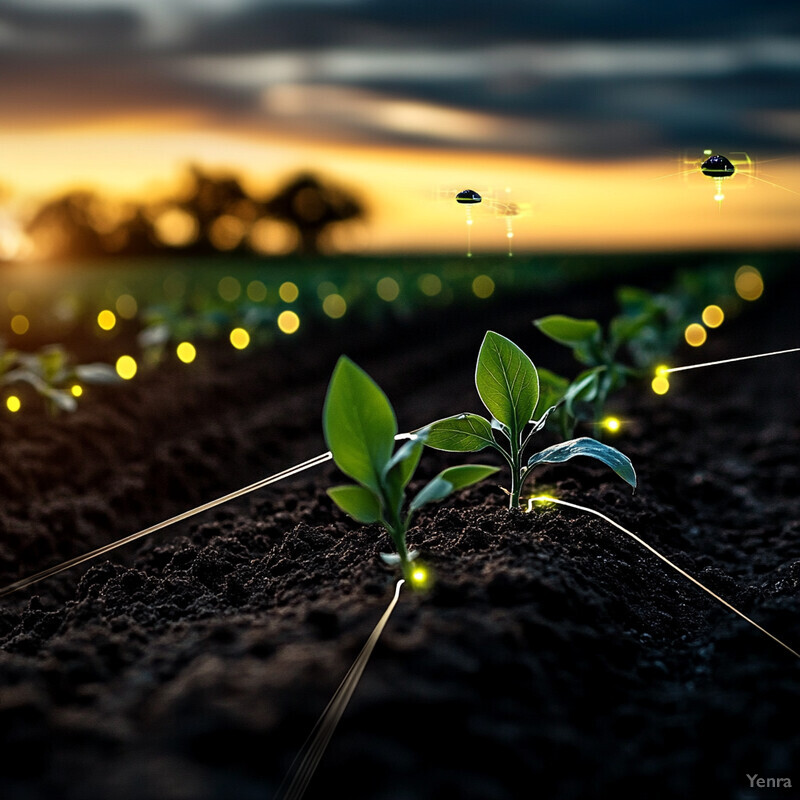
NASA Harvest's GEO-CropSim work is aimed directly at crop growth and water-use estimation from Earth-observation and weather inputs, and FAO's digital-agriculture guidance continues to treat AI-assisted irrigation, scouting, and variable-rate management as practical tools for climate-stressed farming. Inference: the strongest precision-agriculture gains come from better allocation of limited water and inputs, especially in seasons where heat and rainfall depart sharply from historical norms.
5. Infrastructure Vulnerability Assessment
Climate adaptation is also an infrastructure triage problem. Roads, culverts, levees, substations, bridges, and treatment systems do not all fail at the same threshold. AI helps by fusing asset data, hazard layers, inspection imagery, and maintenance histories into risk-ranked priorities. That increasingly overlaps with digital twin work and automated anomaly detection.

NIST's recent digital-twin work emphasizes trust, validation, and actionable recommendations for infrastructure systems, while FHWA-backed work on culvert decision support shows how transportation agencies are using geospatial and hydrologic intelligence to rank where extreme rainfall will matter most. Inference: infrastructure AI becomes adaptation-relevant when it helps engineers decide what to reinforce first under changing hazard regimes, not when it pretends to replace engineering judgment.
6. Dynamic Flood Mapping and Risk Prediction
Static flood maps are no longer enough for a climate with more frequent high-intensity rain, compound flooding, and rapidly changing land cover. AI-enabled flood systems combine gauges, radar, terrain, hydrologic models, and change detection from imagery to keep risk maps closer to real conditions. That is where climate adaptation moves from archive mapping to live operational support.

Google's Flood Hub work and NASA's hurricane-response open-science effort point in the same direction: flood adaptation increasingly depends on combining forecasts, imagery, and rapid damage assessment into actionable maps for responders and planners. Inference: flood AI matters most when it shortens the loop between observation, map update, and emergency action, especially in places where official inundation maps age quickly or never existed at usable resolution.
7. Coastal Erosion and Sea-Level Rise Modeling
Coastal adaptation is not only about global mean sea-level rise. It is about how tides, storm surge, waves, subsidence, shoreline geometry, and sediment interact at specific places. AI helps by finding patterns in long coastal records, satellite-derived shoreline change, and local hazard signals that are difficult to manage manually across large coastlines.

NOAA researchers reported in late 2024 that machine learning can improve long-range coastal sea-level prediction by identifying patterns that classical approaches struggle to exploit, and recent shoreline-forecast benchmarks show AI models becoming more competitive as long temporal records accumulate. Inference: coastal AI is becoming more useful where communities need both multi-year planning context and faster local monitoring of shoreline retreat after storms.
8. Disease Vector Tracking Under Climate Shifts
As warming and rainfall shifts reshape mosquito, tick, and other vector habitats, adaptation increasingly requires earlier health surveillance. AI models can combine weather, land-use, case, and entomological data to forecast where disease risk is intensifying and where prevention should move first. This is a public-health version of climate early warning.
A 2025 Scientific Reports study highlighted how machine learning can forecast dengue mortality and outbreak dynamics months ahead under changing climate conditions, while WHO's Early AI-supported Response with Scenarios platform is designed to help health systems identify outbreak risk and response options earlier. Inference: the adaptation value is not just epidemiological insight. It is earlier vector control, public messaging, and medical preparation in places where climate is shifting disease geography.
9. Real-Time Energy Grid Management
Power-system adaptation increasingly depends on seeing stress earlier and coordinating more flexible assets in real time. Heat waves, wildfire shutdowns, variable renewables, electrified loads, and storm damage all make the grid more timing-sensitive. AI helps by improving short-horizon forecasting, fault detection, outage response, and customer-side flexibility across the modern grid stack.

DOE's AI for Energy work explicitly highlights load forecasting, predictive maintenance, and power-system optimization, while FERC's 2024 demand-response and advanced-metering assessment shows how much more operational data the grid now has to work with. Inference: climate adaptation in power systems is increasingly about making a more instrumented grid more responsive during heat, storm, and wildfire stress.
10. Water Resource Allocation and Drought Management
Water adaptation is increasingly about allocating scarcity earlier and with better visibility into what comes next. AI can help utilities, irrigation districts, and drought planners by combining streamflow, soil moisture, reservoir, crop, and forecast data into operational recommendations. This is where climate adaptation becomes a recurring management problem rather than a one-time infrastructure project.
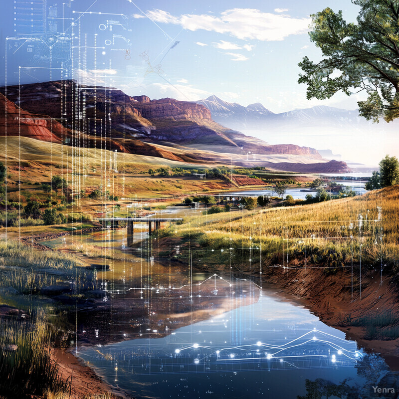
The European Commission's 2025 explainable-AI hazards work is directly aimed at identifying places facing compound climate stress such as drought and heat, and NOAA has begun deploying AI-enhanced drought forecasts inside the National Water Model. Inference: the strongest water-management use case is not abstract drought prediction by itself. It is decision support that helps agencies shift storage, irrigation, conservation, and emergency planning earlier.
11. Soil and Land Degradation Monitoring
Land degradation often advances slowly enough to evade attention until recovery becomes more expensive. AI changes that by using repeated imagery, field observations, and change detection to spot erosion, vegetation decline, salinity stress, burn scars, and other early warning signals. This is especially important in drylands and working landscapes where climate stress compounds long-term land pressure.

NASA's geospatial foundation-model work is designed for tasks such as land-use and flood analysis, and the agency's disturbance-monitoring efforts increasingly emphasize rapid identification of vegetation loss and landscape change from satellite time series. UNCCD's land-degradation work points in the same direction: dryland monitoring now depends heavily on Earth observation at scales manual survey alone cannot sustain. Inference: AI matters here because it makes gradual degradation legible sooner.
12. Real-Time Urban Climate Resilience Planning
Cities adapt to climate in unequal, neighborhood-scale ways. Some blocks are hotter. Some intersections flood first. Some residents face higher mobility, housing, or health vulnerability during extreme events. AI helps cities combine live hazard data, GIS, infrastructure layers, and vulnerability indicators into more targeted urban response and planning.

Google's heat-resilience work is explicitly about helping cities evaluate where trees and cool roofs could reduce urban heat most effectively, and the JRC's explainable-AI hazard mapping shows how probabilistic multi-factor analysis can surface priority zones for adaptation investment. Inference: urban climate AI becomes strongest when it helps cities rank interventions spatially and socially, not just model hazards in the abstract.
13. Climate-Informed Supply Chain Optimization
Climate adaptation is also a supply-chain design problem. Flooded ports, overheated logistics corridors, crop failures, and regional power stress can all ripple through production systems far from the original hazard. AI helps by connecting forecast risk to sourcing, inventory, routing, and contingency planning. That pushes resilience thinking upstream, before disruption is visible in shelves or factory output.
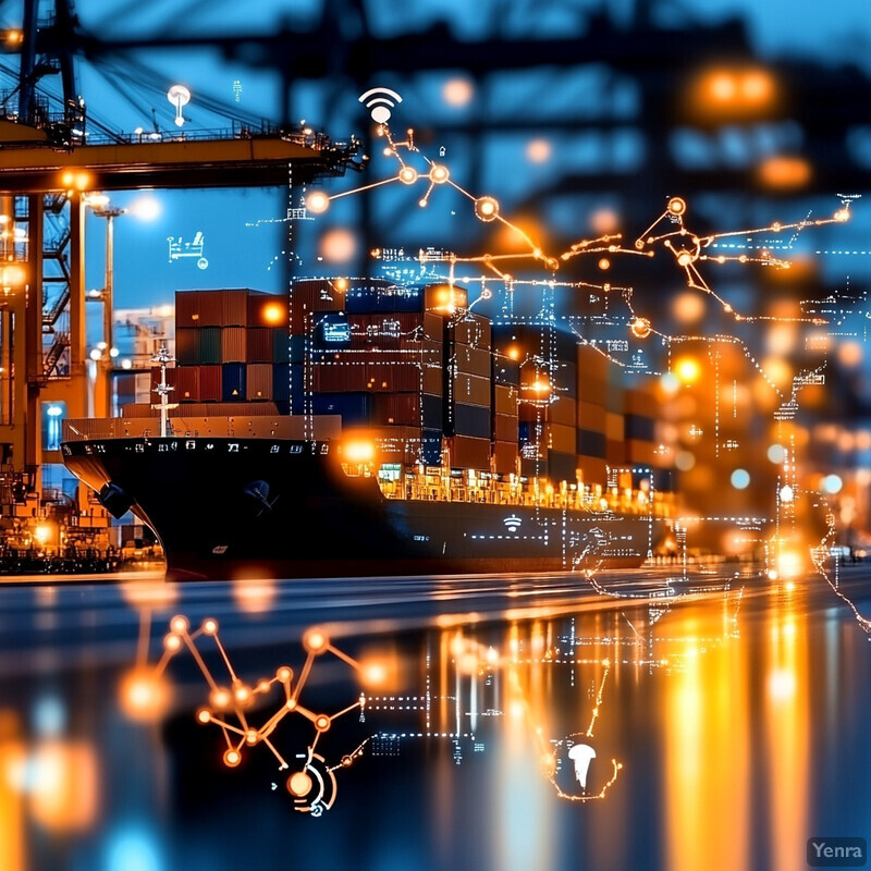
Recent World Economic Forum work frames climate resilience as a core value-chain issue rather than a side risk, and recent climate-supply-chain research increasingly emphasizes how extreme weather can cascade through globally distributed production systems. Inference: the most grounded role for AI is scenario testing and operational reprioritization, such as rerouting, dual-sourcing, and buffer planning around forecast climate shocks.
14. Ecosystem Health and Biodiversity Monitoring
Healthy ecosystems are part of climate adaptation because wetlands, forests, reefs, grasslands, pollinators, and habitat corridors absorb shocks that hard infrastructure alone cannot. AI helps by turning biodiversity and landscape monitoring into a more continuous process through camera-trap classification, bioacoustics, satellite analysis, and anomaly detection across repeated observations.

Google's 2026 open-sourcing of SpeciesNet is significant because it moves a proven wildlife-identification model from a specialized platform into wider conservation use, while NASA's broader Earth-observation AI work keeps improving disturbance and land-cover monitoring. Inference: biodiversity AI is not only about counting species faster. It is about seeing ecological change sooner enough to guide restoration, habitat protection, and agricultural adaptation.
15. Insurance Risk Analysis and Parametric Coverage
Climate adaptation is easier when recovery financing arrives quickly after a shock. AI helps insurers and risk pools model climate exposure more precisely, while parametric products can speed payouts once measurable triggers are hit. The critical issue is not simply automation. It is reducing basis risk so that the trigger reflects actual hardship closely enough to be useful on the ground.

World Bank work on parametric insurance continues to emphasize trigger design, transparency, and rapid post-disaster liquidity, and recent research on satellite-imagery-based parametric products shows how machine learning can reduce some of the mismatch between proxy triggers and actual damage. Inference: AI is most useful here when it improves coverage design and event verification rather than simply making underwriting more complex.
16. Forest Fire Detection and Management
Wildfire adaptation increasingly depends on two clocks: how fast ignitions are found and how fast likely spread is understood. AI improves both. It can scan cameras and satellite feeds for smoke or thermal anomalies, and it can support spread forecasting by combining terrain, fuels, weather, and fire history. That helps move response from late detection toward earlier intervention.

Google's FireSat program is designed to detect fires as small as roughly 5 by 5 meters from orbit, while ALERTCalifornia's camera-and-AI system has already shown what continuous automated smoke monitoring can do operationally on the ground. Inference: wildfire AI is strongest when it shortens ignition detection time and gives crews a better first read on where a fire is likely to intensify, rather than acting as a stand-alone firefighting system.
17. Green Infrastructure Suitability Analysis
Green infrastructure works best when it is sited strategically, not symbolically. AI can rank where tree cover, permeable surfaces, bioswales, green roofs, and urban wetlands will provide the biggest combined benefit across heat, flooding, runoff, and social vulnerability. That makes nature-based adaptation more defensible in budget and planning terms.
Google's urban-heat work shows how AI can help cities test tree and cool-roof placement spatially, and the JRC's explainable-AI hazard mapping shows how layered climate stress can be turned into location-specific priority zones. Inference: the biggest practical gain is not that AI invents new green infrastructure. It is that AI helps cities place familiar interventions where they will cool, absorb, and protect the most.
18. Fisheries and Aquaculture Adaptation
Marine adaptation increasingly depends on tracking moving conditions rather than assuming stable fish distributions or stable farm environments. AI helps fisheries and aquaculture by combining ocean conditions, habitat information, and farm-sensor data into forecasts about where stock productivity, disease risk, or operational stress are shifting. That is increasingly important as warming waters and marine heat waves alter old patterns.

NOAA Fisheries is increasingly applying machine learning to habitat and stock-relevant monitoring, and FAO's recent aquaculture reporting highlights sensor-driven farm management that is moving toward smarter water-quality and disease surveillance. Inference: the strongest adaptation use case is not fully automated fishing policy. It is better visibility into shifting habitats and farm stress so operators and regulators can adapt before losses compound.
19. Public Health Climate Adaptation Strategies
Climate-health adaptation is ultimately a decision-timing problem: when to open cooling centers, where to target outreach, how to staff hospitals, and where to intensify surveillance for smoke or vector risk. AI helps by turning meteorology, case trends, demographics, and environmental signals into earlier public-health triggers. That makes it a climate-resilience tool as much as a healthcare tool.

WHO's EWARS platform reflects the growing role of AI-supported outbreak preparedness, and recent dengue-forecasting work shows how climate-linked disease risk can be projected early enough to shape interventions. Inference: climate-health AI matters most where it helps overburdened agencies decide who to warn, where to deploy resources, and when to act before caseloads spike.
20. Multi-Hazard Resilience Planning
The most realistic adaptation plans no longer treat flood, heat, drought, wildfire, coastal, and public-health risks as separate universes. AI is well suited to multi-hazard work because it can combine meteorological, hydrologic, geospatial, infrastructure, and social data into compound-risk views that are difficult to build manually. That is increasingly important as climate impacts interact rather than arrive one at a time.

NASA's hurricane-response work and the JRC's explainable-AI climate-hazards tool both point toward the same operating model: resilience planning is becoming more integrated, more geospatial, and more explicit about overlapping hazards. Inference: AI's real contribution here is not generic complexity for its own sake. It is helping planners find where multiple threats converge and where limited adaptation budgets will prevent the most cascading harm.
Sources and 2026 References
- MIT News: Making climate models relevant for local decision-makers.
- NASA Science: Expanded AI Model with Global Data Enhances Earth Science Applications.
- NASA Science: Artificial Intelligence for Hurricane Response.
- Google: Advanced Flood Hub features for aid organizations and governments.
- Google: Nowcasting on Search is bringing AI-powered weather forecasts to people across Africa.
- Google: How we're using AI to help cities tackle extreme heat.
- DOE: Artificial Intelligence for Energy.
- FERC: 2024 Assessment of Demand Response and Advanced Metering.
- European Commission JRC: AI tool to help detect growing climate hazards for EU agriculture.
- Google: Check out the first images of wildfires detected by FireSat.
Related Yenra Articles
- Early Warning Systems for Natural Disasters zooms in on one of the fastest-moving climate adaptation use cases: turning lead time into action.
- Geospatial Analysis expands the Earth-observation, flood-mapping, and hazard-layering side of the story.
- Weather Forecasting covers the shorter-horizon forecast systems that feed many day-to-day resilience decisions.
- Smart Grids shows how climate adaptation increasingly depends on flexible, forecast-aware infrastructure operations.
- Environmental Monitoring adds the sensing and repeated-observation layer that makes many adaptation systems possible.