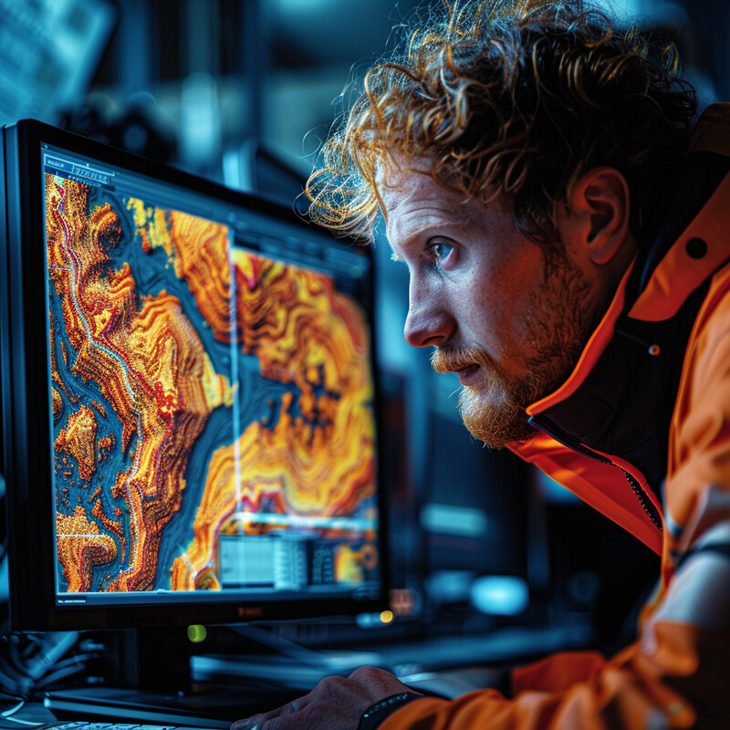
Geospatial analysis sits at the intersection of imagery, maps, sensors, and location-aware decisions. In 2026, the most important AI shift is not that maps have become "intelligent" in some vague way. It is that spatial systems can now classify, extract, compare, forecast, and prioritize at a scale that manual GIS workflows could not sustain.
That matters because the input volume is exploding. Satellites revisit the same places constantly. Cities stream location-tagged operational data. Climate and disaster teams need faster situation awareness. And spatial analysts are increasingly expected to move from raw observation to action, not just produce a pretty layer in a geographic information system. The strongest current gains are therefore in remote sensing, feature extraction, change detection, hazard forecasting, map automation, and analyst-facing geospatial copilots.
This update reflects the field as of March 15, 2026 and leans mainly on NASA, USGS, ESA, Google, Microsoft Research, and other primary sources. The recurring theme is practical: geospatial AI is becoming less of a lab curiosity and more of an operational layer for Earth observation, resilience planning, and spatial decision support.
1. Land Cover Classification
AI-driven land cover classification turns satellite imagery into usable thematic layers such as water, crops, forests, urban fabric, wetlands, and bare ground. The important 2026 change is not just better accuracy. It is faster refresh. Large geospatial systems increasingly move from occasional one-off maps toward regularly updated classification products that can support planning, monitoring, and public reporting.

Google's Dynamic World V1 provides near-real-time 10-meter land-use and land-cover predictions from Sentinel-2 imagery, while USGS's Annual NLCD brings yearly land-cover mapping to the United States. Inference: classification is becoming more continuous and operational, which makes it more useful for planners and monitoring programs than older static mapping cycles.
2. Object Detection and Temporal Footprint Extraction
Feature extraction in geospatial analysis is moving well beyond one-time object detection. AI now helps identify buildings, roads, solar farms, vehicles, and other physical assets while also tracking how the built environment changes over time. That makes spatial analysis more useful for infrastructure inventories, urban growth studies, and change-aware planning.

Google's Open Buildings 2.5 Temporal Dataset and Microsoft Research's TEMPO project both point in the same direction: the core task is shifting from "find buildings" toward "measure how built form changes over time." Inference: geospatial AI is getting stronger where it can connect object extraction to temporal structure, density, and height rather than producing a single snapshot map.
3. Change Detection
Change detection is one of the most consequential geospatial AI capabilities because it converts repeated imagery into an explicit answer to a high-value question: what changed, where, and how fast? In practice, that can mean new construction, burned area, flood extent, storm damage, illegal land clearing, shoreline movement, or infrastructure disruption.
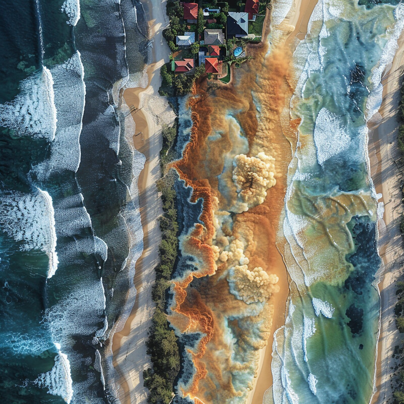
FireSat's first released wildfire detections show how AI can help move change detection closer to event time, while Google Open Buildings 2.5 shows the value of time-aware building data for built-environment change. Inference: the strongest geospatial change-detection systems now combine repeat observation with AI triage so analysts do not have to manually compare every scene.
4. Predictive Hazard Modeling
Geospatial AI is increasingly used not just to map what is visible now, but to estimate what is likely to happen next. Flood forecasting, weather nowcasting, and related hazard models turn spatial history plus live inputs into actionable lead time. That makes predictive analytics one of the most operationally important branches of geospatial AI.
Google's current Flood Hub work is aimed at governments and aid organizations, and Google's AI-powered nowcasting rollout across Africa shows how forecast products are becoming more localized and accessible. Inference: geospatial forecasting is moving from specialist back-room analysis toward broader operational delivery, where lead time and accessibility matter as much as pure model quality.
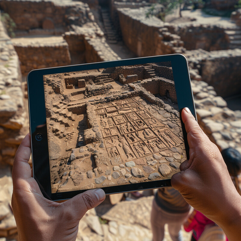
5. Automated Map Production and Legacy Map Extraction
Map automation no longer means only extracting roads and buildings from imagery. A growing part of the field is converting older, scanned, or semi-structured geospatial materials into machine-readable data. That includes geologic maps, annotated legacy sheets, and other map products that remain information-rich but are hard to query at scale.

USGS's work on extracting data from maps using lessons from the AI for Critical Mineral Assessment Competition reflects a broader shift: a great deal of valuable spatial knowledge still lives in maps built for humans rather than machines. Inference: a meaningful 2026 advance is that AI is increasingly helping pull structured data back out of those map archives.
6. Geospatial Foundation Models
One of the biggest technical shifts in 2026 is the rise of reusable geospatial foundation models. Instead of training a new model for every narrow task, teams increasingly start from large pretrained Earth-observation models and adapt them for classification, segmentation, retrieval, or downstream scientific analysis.

NASA's expanded Prithvi model and NASA's SatVision TOA release both show how Earth-observation modeling is becoming more foundation-model oriented, while Google Earth AI is broadening access to geospatial model workflows. Inference: the center of gravity in geospatial AI is moving from isolated task models toward shared model stacks that can be tuned for many spatial workflows.
7. Disaster Response and Damage Assessment
Disaster response is one of the clearest high-stakes uses of geospatial AI because the time cost of manual review is so visible. The goal is usually not a perfectly polished map on day one. It is a fast, directional read on where damage is concentrated, which routes may be blocked, and where responders should look first.

NASA's open-science work on artificial intelligence for hurricane response and ESA's disaster-mapping challenge both emphasize the same practical need: faster extraction of useful spatial signals from imagery during crises. Inference: the strongest disaster-response systems are human-in-the-loop accelerators that help responders see the map of need sooner.
8. Real-Time and Edge Geospatial Analysis
A major 2026 trend is pushing geospatial analysis closer to the data source. Instead of sending everything home for batch processing, newer systems increasingly perform some screening, ranking, or summarization at the edge or in tightly integrated operational apps. That helps reduce latency, bandwidth waste, and human backlog.
ESA's Φsat-2 has entered its science phase for AI-driven Earth imagery, and ESA's GDA APP is designed to turn Earth-observation data into actionable insights more directly for end users. Inference: one of the most important operational changes is the shift from offline spatial analytics toward faster triage and decision support closer to the observation loop.
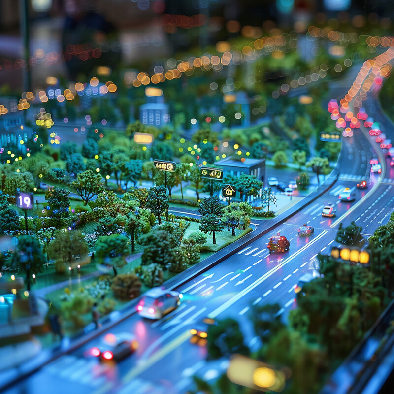
9. Urban and Climate Resilience Analysis
Geospatial AI is increasingly valuable where city-scale risk is spatially uneven. Heat, flooding, air quality, and service access do not affect every neighborhood the same way. AI models can help convert imagery, land-cover context, and operational data into spatial guidance for where interventions may matter most.
Google's current work on helping cities tackle extreme heat and its AI-powered weather nowcasting rollout show how resilience analysis is becoming more place-specific and operational. Inference: the practical future of geospatial AI in cities is not one master smart-city dashboard, but many targeted risk layers that help teams allocate attention and money more intelligently.
10. Geospatial Search, Assistants, and Human-in-the-Loop Workflows
One of the most visible user-facing changes in 2026 is that spatial analysis is becoming easier to query. Analysts increasingly work in mixed workflows where AI helps retrieve layers, summarize patterns, extract candidate features, and answer questions, while the underlying GIS remains the system of record and human review remains essential.

Google Earth AI is explicitly broadening access to geospatial model workflows, and ESA's GDA APP frames Earth-observation analysis in terms of actionable insights rather than raw technical output alone. Inference: a major near-term gain in geospatial AI may come less from full automation and more from lowering the friction of asking good spatial questions and getting a useful first answer quickly.
Sources and 2026 References
- Google for Developers: Dynamic World V1.
- USGS: About Annual NLCD.
- Google: How Google built the Open Buildings 2.5 Temporal Dataset.
- Microsoft Research: TEMPO.
- Google: Check out the first images of wildfires detected by FireSat.
- Google: Advanced Flood Hub features for aid organizations and governments.
- Google: Nowcasting on Search is bringing AI-powered weather forecasts to people across Africa.
- USGS: Extracting data from maps.
- NASA Science: Expanded AI Model with Global Data Enhances Earth Science Applications.
- NASA: SatVision TOA foundation model.
- Google: New updates and more access to Google Earth AI.
- NASA Science: Artificial Intelligence for Hurricane Response.
- ESA: AI challenge advances satellite-based disaster mapping.
- ESA: Φsat-2 begins science phase for AI Earth images.
- ESA: GDA APP: Transforming EO Data into Actionable Insights.
- Google: How we're using AI to help cities tackle extreme heat.
Related Yenra Articles
- Disaster Response shows how spatial analysis becomes operational when teams need fast situational awareness and triage.
- Urban Planning Tools extends the discussion into long-range decisions about infrastructure, growth, and city management.
- Predictive Analytics covers the forecasting logic behind flood models, risk layers, and other forward-looking spatial systems.
- Space Exploration provides a parallel Earth-observation and remote-sensing story from the orbital and planetary side.