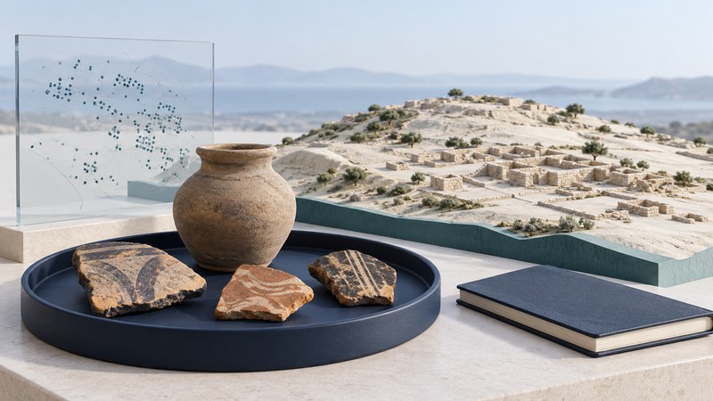
Knossos was a city and a changing landscape as well as a famous Bronze Age palace. Studying its Early Iron Age occupation means looking beyond the palace to pottery scatters, settlement areas, cemeteries and connections across the Mediterranean.
The useful question is how those traces fit together. A concentration of pottery can help identify activity, but its date, condition and context determine what it tells us about the city. Use this guide to understand the steps between collecting a fragment and interpreting an urban landscape.
Place the city in time
On a narrow screen, focus the table region and scroll horizontally to read every column.
| Period or label | Keep in view | Question for the source |
|---|---|---|
| Bronze Age and palace history | The famous palace belongs to an earlier and internally varied history. | Which construction phase or rebuilding does the account discuss? |
| Early Iron Age | The 2016 research announcement used approximately 1100–600 BCE for its discussion. | Which narrower ceramic phase is represented by a particular find or map? |
| Later Greek and Roman Knossos | Later occupation can affect which earlier traces are visible and accessible. | Does the evidence belong to the Early Iron Age or to a later city? |
Period labels organize evidence across a long span; they do not make all objects within a period contemporary. The British School at Athens research overview separates projects on different parts of this long history. Follow the project and period attached to a result before applying it to the Early Iron Age.
How surface survey helps reconstruct a city
The Knossos Urban Landscape Project systematically surveyed the valley in 2005–2008. A published overview reports roughly 355,000 pottery sherds from all periods, with about 1,800 initially recognized as diagnostic Early Iron Age material. These are counts of recovered fragments and identified material, not people. The project’s Early Iron Age overview (PDF) sets out the methods and interpretation.
- Define coverage. Establish which areas could be examined and which were inaccessible.
- Record locations consistently. A distribution is useful only when finds remain connected to their collection areas.
- Identify and date material. Compare diagnostic features with published sequences, preserving uncertainty.
- Compare patterns. Assess how distributions relate to buildings, tombs, terrain and earlier investigations.
- Test an interpretation. Ask whether settlement, burial, disturbance or a combination best explains the pattern.
For a reader, the practical check is whether a map shows survey coverage as well as finds. An empty patch that was never examined has a different meaning from a searched area with little diagnostic material. Later buildings, vegetation and ground disturbance can affect the available record.
What does a larger Knossos mean?
The published overview proposes an Early Iron Age settlement of about 40 hectares, approximately three times the extent of an earlier reconstruction by J. N. Coldstream. It distinguishes a broad settlement scatter from surrounding cemeteries. This is a comparison of reconstructions of settlement extent, not a measurement of population tripling.
A city boundary is an interpretation to be evaluated against the dated distribution and the limits of observation. The most useful follow-up is the underlying map and its phase labels, not a more precise-looking number copied from a summary.
Read imports in their archaeological context
The University of Cincinnati’s 2016 account of the research describes imported pottery and metal objects, including jewelry and adornments, with connections to mainland Greece and several Mediterranean regions. It emphasizes the importance of distinguishing domestic and burial contexts. An object placed in a tomb can illuminate selection and social display as well as exchange.
On a narrow screen, focus the table region and scroll horizontally to read every column.
| Evidence | Interpretation to investigate | Further evidence needed |
|---|---|---|
| An object identified as an import | A connection between its production region and its place of deposition. | Basis for the origin attribution, chronology and possible intermediate exchange. |
| Imported objects in a burial | The way a group selected goods for funerary use. | Comparison with domestic contexts and other tombs before describing everyday ownership. |
| Similar objects across several sites | A pattern of distribution worth comparing. | Secure dates and detailed manufacture or composition, rather than visual resemblance alone. |
Read an urban-history claim in five steps
- Name the period and the specific research project.
- Identify the evidence: excavation, surface survey, objects, texts or a combination.
- Check the map’s coverage and distinguish settlement from burial evidence.
- Write the proposed conclusion with its scale: area, distribution, exchange or population.
- Keep the remaining uncertainty and the next useful source alongside the conclusion.
The published KULP overview supplies the detailed argument; the 2016 institutional account is a shorter introduction; the BSA research page connects the work with wider investigations. Their different roles matter: a general research directory does not itself update an Early Iron Age area estimate.
Use the evidence-reading worksheet to record one claim. If visiting Knossos, use current official visitor information for access and routes. The research landscape extends beyond the remains visible on a visitor circuit, and preservation depends on retaining that wider context.