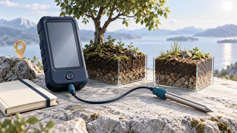
Mobile data acquisition brings a sensor and a recording device to the place where a question can be investigated. Its strength is the connection between a reading and its surroundings. A useful field record preserves what was measured, where, when and how, so another person can understand the comparison.
This guide is for teachers and students planning a small outdoor study. Start with an accessible site, suitable equipment and the school or organization's fieldwork procedures. A phone or handheld interface is one part of the method; the question and measurement plan determine what the record means.
Choose a comparison the equipment can answer
Replace “Which place is hotter?” with a defined question, such as “How does soil temperature at a fixed depth differ between these shaded and sunlit plots during our visit?” Air, soil and surface temperature describe different quantities and require appropriate sensing methods.
Vernier's field-investigation examples include temperature and light measurements across schoolyard locations. Use such examples to develop a question suited to your site. Record surface material, shade, moisture and recent weather because they can help explain a difference.
Decide what counts as an independent observation. Fifty readings from a probe left in one hole describe that spot over time. Independent plots provide spatial replication; repeated readings characterize that one location. The research-design guide explains replication and controlled comparisons.
Check the complete recording path before leaving
Confirm the sensor's range, response time, environmental limits and compatibility with the recorder. Follow its manual for preparation and calibration. Place sensors together in a common stable environment as a comparison check; agreement is useful, while a traceable reference is needed to assess accuracy.
Run a short practice collection and export it. Open the exported file, check the units, and confirm that timestamps, sensor identifiers and notes survive. Test the actual offline setup if connectivity will be unavailable. Charge the recorder and sensors, allow sufficient storage, and carry the required field record.
On a narrow screen, focus this table and use the arrow keys to scroll.
| Record | Example of what to specify | Why it matters |
|---|---|---|
| Quantity and placement | Soil temperature, chosen depth, insertion method. | Keeps unlike measurements from being mixed. |
| Time | Date, clock time, time zone and any clock offset. | Connects readings to changing conditions. |
| Location | Plot identifier, map reference and site description. | Lets the same place be found again. |
| Method | Sensor ID, check results and stabilization rule. | Explains how the value was obtained. |
Keep time and location from becoming confounded
If every shaded plot is measured early and every sunny plot later, a changing afternoon can become part of the apparent shade effect. Use an order that balances that risk, or matched sensors taking paired measurements, with their differences checked beforehand. Record the order actually used.
Allow a probe to respond after moving it. Choose and document an appropriate stabilization rule using the instrument's guidance and a pilot observation. A rapidly sampled display can still be showing a slowly responding sensor. Record departures from the method, including interrupted connections or a probe that could not reach the intended position.
Turn readings into a checkable conclusion
Plot values against time and identify the location of each observation. Look for abrupt jumps, missing periods, slow settling and implausible values. Preserve the original readings, mark exclusions with reasons and keep any corrected or averaged version separately.
Write a conclusion with three parts: the observed pattern; the conditions it describes; and the main uncertainty or next comparison. For example, a soil-temperature difference during one sunny visit can motivate another visit after rain. It supplies a focused next question without becoming a claim about regional climate.
Download the field-study record for planning, sensor checks, paired observations and interpretation. Before sharing it publicly, review whether coordinates or photographs reveal students' identities or sensitive locations. Retain the full research record in the appropriate school or project storage.
Related science guides
- Choose sampling and recording settings
- Plan replication and comparisons
- Preserve original data and derived results
Explore all science guides. Sources reviewed September 11, 2026.