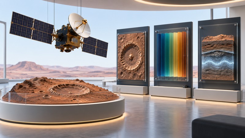
Mars Reconnaissance Orbiter brings several kinds of observation to the same planet: detailed photographs, mineral spectra, subsurface radar and atmospheric measurements. Understanding what each tool measures helps turn an impressive image into a useful scientific question.
From arrival to a long scientific record
MRO launched on August 12, 2005, and entered Mars orbit on March 10, 2006. After a period of aerobraking it reached the orbit used for its primary science work. Its investigations connect the history of water to the planet's surface, subsurface and atmosphere. NASA lists MRO as an active mission in its mission record, checked October 13, 2026.
The record spans many observing campaigns, so distinguish the spacecraft's overall status from the status of an individual instrument. NASA retired CRISM on April 3, 2023. Its mineral maps remain valuable archival evidence. When following a newly published result, check when the underlying observations were acquired.
Choose the instrument that fits the question
| Instrument | Observing role | Question to ask of the result |
|---|---|---|
| HiRISE | Detailed surface imaging | Which small features or changes can be resolved? |
| CTX | Context images covering a wider area | How does the close-up fit into the landscape? |
| CRISM | Visible and infrared spectral measurements; now retired | Which mineral interpretation fits the spectral features? |
| SHARAD | Radar sounding of subsurface structure | Which interfaces could account for the returned echoes? |
| MARCI | Wide-angle observations of weather and surface appearance | How do clouds and dust change across time? |
| Mars Climate Sounder | Atmospheric profiles from visible and infrared channels | How do temperature and atmospheric conditions vary with height? |
NASA's instrument reference supplies the specifications behind this map. It describes original capabilities and includes historical future-tense language; use dated instrument announcements for subsequent changes.
Resolution and coverage are a tradeoff to consider whenever you compare products. A detailed camera frame represents a selected patch of ground. A wider view can reveal connections that fall outside that frame. Keep each product's footprint, scale, wavelength and observation time with it as you compare them.
A worked reading method: one layered outcrop
Suppose you are studying a published image of layered terrain. The following is a suggested workflow, not a claim about a particular observation.
- Start with context. Find the region in a context image. Mark the crater, valley or escarpment containing the exposure.
- Examine the detail. Use the HiRISE view to describe visible layer edges and surface textures. Record illumination direction so shadows do not become mistaken geological boundaries.
- Add composition where coverage exists. A CRISM product may provide a mineral interpretation for part of the region. Check the actual overlap and pixel scale before attaching a mineral name to a tiny feature.
- Ask what is below the visible surface. Relevant radar tracks can add structural information. Radar echoes require their own processing and geological interpretation.
- Write a combined conclusion. State what the images establish, what the spectral or radar evidence adds, and which relationships remain uncertain.
The useful result is a chain of evidence. A colorful spectral map and a sharp photograph can be complementary even when they were acquired at different times and resolutions.
Find observations you can inspect
The University of Arizona's HiRISE site is an approachable route into images and captions. Select a topic or location, then save the observation identifier along with the image. The identifier is a better long-term reference than a screenshot filename.
The Planetary Data System MRO archive provides instrument datasets and documentation for deeper investigation. Calibrated and derived products serve different purposes. A browse image is convenient for orientation; quantitative work requires the appropriate data product, calibration information and processing notes.
- Record the instrument and observation identifier.
- Separate acquisition date from article or image-release date.
- Read the caption's processing and color explanation.
- Check map projection, scale and coverage before aligning two products.
- Follow a cited study when the interpretation goes beyond visible shape.
How MRO also supports other missions
Orbital observations help mission teams assess terrain and place surface exploration in regional context. MRO also carries communications equipment that can relay data from landed spacecraft. Science instruments and the relay system perform different jobs aboard the same orbiter. Follow the data path in How Mars Missions Send Data Home.
For related observing approaches, compare Mars Odyssey's thermal and elemental measurements. For image-reading practice, use the Mars pictures guide.
Sources and further reading
NASA's MRO mission record, science instrument reference and CRISM retirement report establish the mission and instrument context. Browse actual observations through HiRISE and the PDS archive. The layered-outcrop workflow above is an illustrative reading exercise.