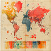
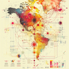
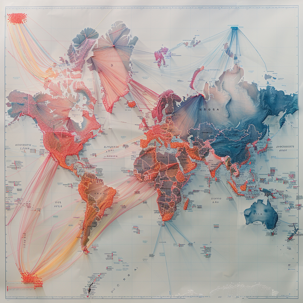
Language and Dialect Adaptability 2 - Image Index | 10 Ways AI is Improving Speech Recognition Global Connections: This image is a world map with lines connecting various countries and regions. The lines are colored in shades of blue, red, and orange, indicating different types of connections or relationships between the places. Some areas have dense clusters of lines, while others appear more isolated. The map also features a range of other visual elements, including text labels, symbols, and icons. Overall, the image suggests that there is a complex network of interactions and influences at play across the globe.