Drone technology gets stronger in 2026 when it is treated as an aviation-and-sensing stack instead of just a flying camera with a neural net attached. The parts of the category that feel most credible now combine computer vision, sensor fusion, path planning, remote sensing, edge computing, and teleoperation with real operational constraints such as Beyond Visual Line of Sight (BVLOS), geofences, weather, payload limits, and airspace rules.
The FAA's May 2025 Drone Integration Concept of Operations makes that shift explicit. It frames drone growth around Remote ID, UTM, BVLOS pathways, Part 107, Part 135 package delivery, Part 137 agricultural operations, and a broader safety continuum rather than around unrestricted autonomy. NASA's UTM and emergency-response work points the same direction: scaling drones means coordinating shared airspace, communications, automation, and mission intent together.
This update reflects the category as of March 22, 2026. It focuses on the drone uses that feel most real now: autonomous mission planning, onboard detection and tracking, photogrammetry and mapping, crop intelligence, logistics, disaster response, environmental monitoring, detect-and-avoid, corridor and worksite monitoring, and infrastructure inspection tied to actual asset workflows.
1. Autonomous Flight and Mission Planning
Autonomous flight is strongest when AI handles route planning, obstacle awareness, replanning, and mission constraints inside a supervised operating envelope instead of pretending drones can improvise like human pilots in every setting.
The FAA's 2025 drone integration roadmap and NASA's long-running UTM research both describe drone autonomy as a coordination problem as much as a control problem. The FAA ties future scale to Remote ID, BVLOS pathways, automated data services, strategic deconfliction, and organizational responsibility, while NASA's UTM work is built around safely enabling autonomous and BVLOS operations at scale. Inference: the strongest autonomy layer in 2026 is the one that can share intent, stay inside constraints, and cooperate with the rest of the airspace system.
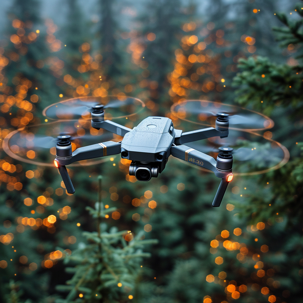
2. Object Detection and Tracking
AI perception makes drones more useful when it can reliably find people, vehicles, wildlife, defects, or landing zones under scale changes, clutter, motion blur, and partial occlusion.
Recent UAV vision research keeps returning to the same operational bottlenecks: aerial targets are small, background clutter is high, and inference often has to happen on constrained onboard hardware. Open-access 2025-2026 work on drone-based search and rescue, multi-person detection, and small-object recognition emphasizes lightweight real-time architectures, better visible-plus-thermal fusion, and more robust target persistence from altitude. Inference: drone object detection is becoming a field tool for bounded mission classes like SAR, inspection, wildlife monitoring, and site awareness rather than a solved generic perception problem.
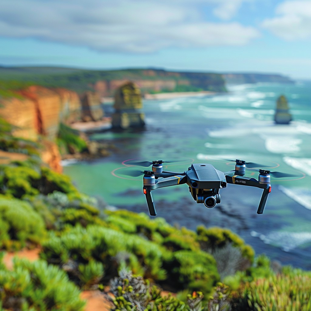
3. Mapping, Photogrammetry, and Inspection Analytics
Drone imagery becomes strategically useful when AI helps convert flights into orthomosaics, 3D reconstructions, measurements, and defect candidates quickly enough to change what a field team does next.
Mapping programs are increasingly pairing UAV capture with photogrammetry, LiDAR, and automated analytics rather than treating the flight itself as the core deliverable. NOAA's shoreline-mapping field work and recent 3D mapping studies on reinforced-concrete structures show the pattern clearly: drones gather repeatable geometry and imagery, then processing pipelines help isolate measurement gaps, change zones, and review priorities. Inference: mapping and inspection analytics are strongest when the drone is part of a measurement workflow, not just an image-collection workflow.
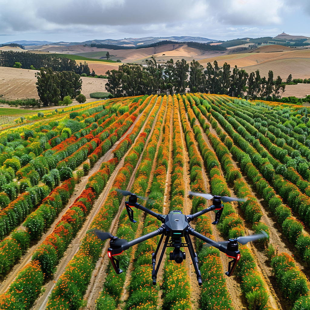
4. Precision Agriculture and Crop Intelligence
Agricultural drones are strongest when AI helps farmers move from general field visibility to specific scouting, spray, irrigation, and treatment decisions.
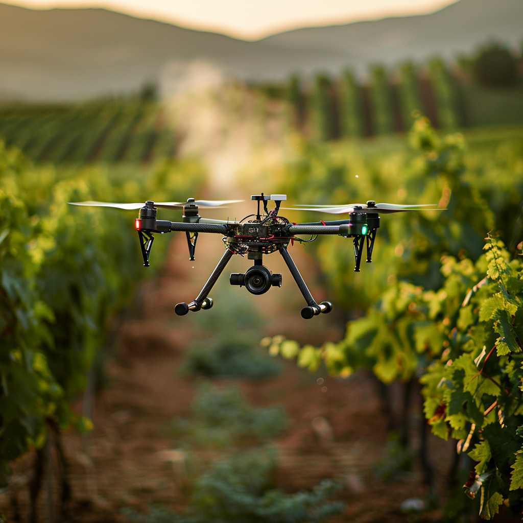
The FAA now distinguishes clearly between lighter-weight crop assessment under Part 107 and dispensing operations under Part 137, and it has built a more streamlined certification path for agricultural UAS operators. At the same time, USDA's precision agriculture reporting continues to track drones as part of the digital farm toolkit for scouting fields and monitoring livestock. Inference: agricultural drone adoption is moving beyond simple imagery capture toward regulated, workflow-specific operations that connect sensing, application, and field management.
5. Delivery and Logistics Operations
Drone delivery is strongest in tightly bounded service models such as medical logistics, campus distribution, and selected suburban routes where airspace, payload, and landing risk can all be managed explicitly.
The FAA's 2025 integration roadmap treats package delivery as one of the clearest drivers for broader BVLOS and automated-data-service rules, while DOT's SMART-funded medical delivery work shows where the model is already becoming concrete: healthcare and access-focused routes where distance, weather, and road constraints make aerial delivery operationally meaningful. Inference: logistics drones are real today, but their strongest deployments are still mission-bounded and highly engineered rather than universal replacements for vans.
6. Disaster Response and Public Safety
Drones help most in emergencies when they shorten the time to a shared operating picture and keep responders out of hazardous spaces, not when they are treated as standalone incident-command systems.
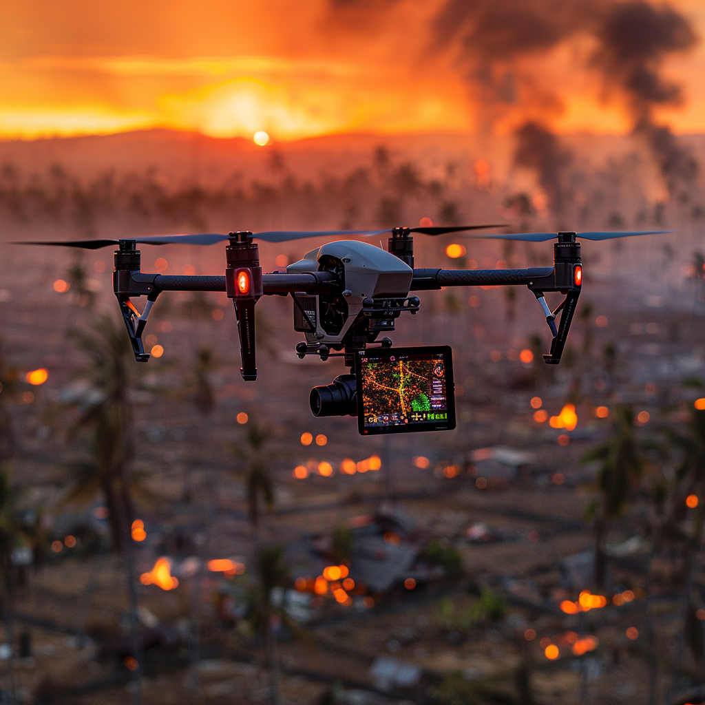
FAA public-safety guidance, NASA's STEReO program, and NOAA's drone work in oil-spill response all frame the same requirement: drones need to plug into communications, airspace coordination, mapping, and mission-management systems to be useful in a real incident. NASA's emergency-response concept specifically targets faster response times, common operating pictures, and coordinated crewed-plus-uncrewed operations in wildfire, hurricane, and SAR settings. Inference: public-safety drone AI is strongest when it improves coordination and scene intelligence rather than promising unsupervised robotic response.
7. Environmental Monitoring and Conservation
Environmental drone systems are strongest when they combine repeatable sensing with AI models that can surface ecological change, wildlife presence, habitat stress, or pollution indicators without constant manual review.
Recent conservation and environmental-response work is pushing drones toward longer-duration monitoring, autonomous navigation in remote areas, and better fusion of ecological sensing with computer vision. The WildDrone research network is explicitly aimed at biodiversity monitoring and human-wildlife conflict management, while NOAA is building drone guidance and training for marine environmental response. Inference: environmental drone AI is moving from ad hoc data collection toward domain-specific monitoring systems built for conservation, restoration, and rapid response.
8. Safety, Detect-and-Avoid, and Airspace Integration
Drone safety gets stronger when AI is tied to Remote ID, detect-and-avoid, right-of-way logic, and airspace services rather than being framed as a generic autonomy feature.
The FAA now treats digital identification and detect-and-avoid as core ingredients of scaled UAS operations. Remote ID functions as the drone's broadcast identity layer, while the FAA's detect-and-avoid guidance and 2025 integration concept tie BVLOS growth to detect-and-yield behavior, strategic deconfliction, conformance monitoring, and right-of-way rules that account for technology-assisted operations. Inference: the drone safety stack in 2026 is increasingly an avionics-plus-network problem, not just a piloting problem.
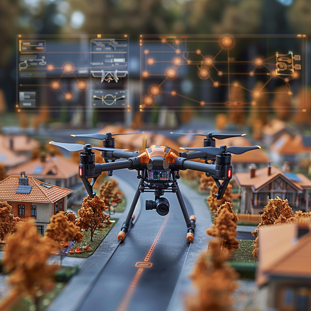
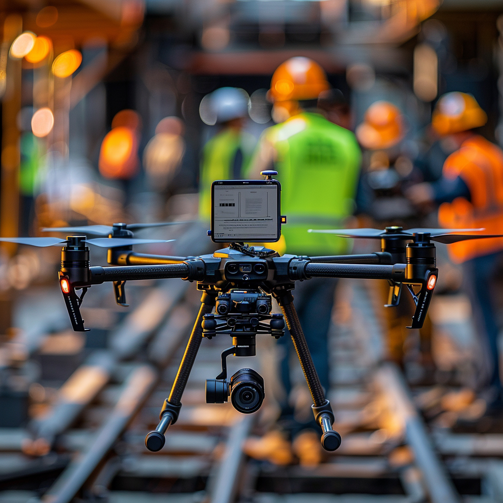
9. Traffic, Worksite, and Event Monitoring
Drone monitoring is strongest when it supports specific corridors, work zones, or event footprints with clear response rules instead of implying broad, always-on autonomous surveillance.
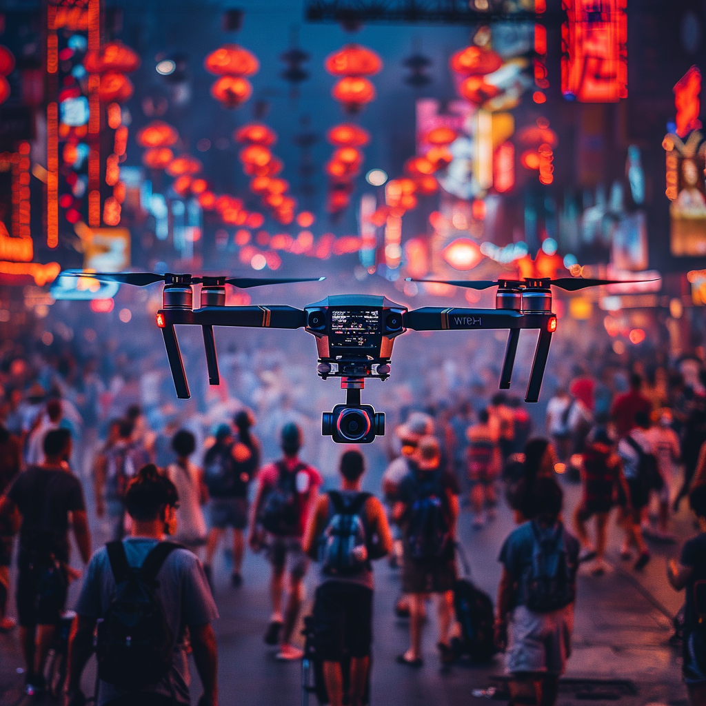
Transportation research shows drones can be useful as mobile sensing nodes when the deployment is narrow enough to connect directly to an operations center. A Florida DOT-supported freeway-surveillance study found corridor-wide drone monitoring could detect some incidents earlier than conventional traffic-center workflows, while newer traffic-management research is modeling drone fleets as adaptive sensing assets rather than passive cameras. Inference: the strongest traffic and site-monitoring uses are targeted, measurable, and tied to operational decisions such as dispatch, lane management, or worksite response.
10. Infrastructure Inspection and Asset Management
Infrastructure inspection is strongest when drones feed a governed asset workflow that prioritizes engineer review, repeat capture, defect triage, and maintenance planning.
Bridge and civil-infrastructure research keeps converging on the same model: drones reduce access cost and improve capture repeatability, while AI helps prioritize what a human inspector or engineer should study next. Recent open-access bridge-inspection frameworks emphasize automated damage-candidate suggestion, human-in-the-loop assessment, and tighter linkage between UAV capture and condition-rating workflows rather than full inspector replacement. Inference: infrastructure drones are most credible when they serve as force multipliers inside a condition-monitoring and asset-management system.
Related AI Glossary
- Beyond Visual Line of Sight (BVLOS) explains why longer-range drone operations depend on stronger detect-and-avoid, procedures, and airspace integration.
- Remote ID covers the drone broadcast identity layer that increasingly anchors compliance, conformance monitoring, and responder awareness.
- Swarm Intelligence helps explain how groups of drones coordinate search, relay, mapping, and monitoring tasks without one aircraft doing everything.
- Path Planning covers the route-selection and replanning layer behind autonomous drone missions.
- Sensor Fusion helps explain how drones combine visual, thermal, inertial, and other signals into one working picture.
- Remote Sensing anchors the mapping, environmental, and geospatial side of modern drone workflows.
- Computer Vision underpins detection, tracking, landing-zone analysis, and visual inspection from drone imagery.
- Geofencing matters when drones need virtual boundaries around sites, routes, hazards, or no-fly areas.
- Trajectory Prediction supports conflict detection, routing, and shared airspace management for mobile systems.
- Teleoperation explains the human-supervised remote-control layer that still matters in many drone missions.
- Edge Computing helps explain why many useful drone decisions have to happen onboard or near the aircraft instead of in a distant cloud.
Sources and 2026 References
- FAA: Drone Integration: Concept of Operations (May 2025).
- FAA: Remote Identification of Drones.
- FAA: Dispensing Chemicals and Agricultural Products (Part 137) with UAS.
- FAA: Public Safety Toolkit.
- FAA: Detect and Avoid Equipment and Systems.
- NASA: Unmanned Aircraft System Traffic Management (UTM).
- NASA: What is STEReO (Scalable Traffic Management for Emergency Response Operations)?.
- NOAA: NOAA Ship Thomas Jefferson tests drone use for shoreline mapping.
- NOAA: From training to tactic: National Ocean Service harnesses drone potential for oil spill response.
- USDA NASS: Farm Precision Agriculture Practices - States and United States: 2023 and 2025.
- DOI record: Drone Medical Package Delivery for Improved Transportation and Better Patient Outcomes Final Implementation Report.
- USF Digital Commons: Corridor-Wide Surveillance Using Unmanned Aircraft Systems Phase III: Freeway Incident Detection and Management.
- ISPRS Annals: An End-to-End UAV-Cloud-AI Pipeline for Infrared-Based Real-Time Person Detection in SAR Missions.
- arXiv: SOD-YOLO: Enhancing YOLO-Based Detection of Small Objects in UAV Imagery.
- Scientific Reports: Enhanced YOLOv11n for small object detection in UAV imagery: higher accuracy with fewer parameters.
- Frontiers in Robotics and AI: WildDrone: Autonomous Drone Technology for Monitoring Wildlife Populations.
- Frontiers in Future Transportation: Traffic monitoring and management system based on a swarm of drones and adaptive traffic units.
- ISPRS Annals: LiDAR and UAV Photogrammetry Techniques for Optimizing 3D Mapping Inspection Systems of Reinforced Concrete Structures.
- ISPRS Archives: Evaluation of a UAS-based Bridge Inspection Framework with Automated Damage Candidate Suggestion and Human-in-the-loop Damage Assessment.
- Advances in Bridge Engineering: Drone-based bridge health monitoring and inspection: an evidence review for bridge asset management.
Related Yenra Articles
- Autonomous Infrastructure Inspections goes deeper into drone-enabled inspection workflows for bridges, towers, pipes, and other critical assets.
- Air Traffic Control Optimization adds the broader airspace-management context around trajectory prediction, coordination, and traffic services.
- Drone Threat Detection adds the perimeter-sensing and counter-UAS side of the same airspace, identification, and tracking stack.
- Aerial Imagery Land Management focuses on the geospatial and earth-observation side of drone and aircraft imagery.
- Construction Site Safety Monitoring shows how drone and site-vision systems feed real operational safety workflows.
- Drone Swarm Coordination explores what changes when drone missions scale from one aircraft to many cooperating aircraft.