Animal tracking gets more useful when AI shortens the path from raw collars, camera traps, drones, and audio sensors to decisions that rangers, biologists, and land managers can actually use. The strongest systems are not just clever models. They are operational pipelines that help teams review huge volumes of data faster, detect real threats earlier, and keep expert validation in the loop.
In practice, that means combining computer vision, wildlife telemetry, remote sensing, bioacoustics, sensor fusion, and decision-support systems. That mix helps conservation teams move beyond isolated sightings toward continuous monitoring of individuals, populations, habitats, threats, and responses.
This update reflects the field as of March 17, 2026 and leans on NOAA, USGS, Cornell BirdNET, Wildlife Insights, EarthRanger, SMART, Conservation X Labs, Wild Me, and recent peer-reviewed research. Inference: the biggest gains are coming from better review pipelines, better integration of tracking with environmental context, and better operational alerting, not from AI replacing field biology.
1. Automated Identification
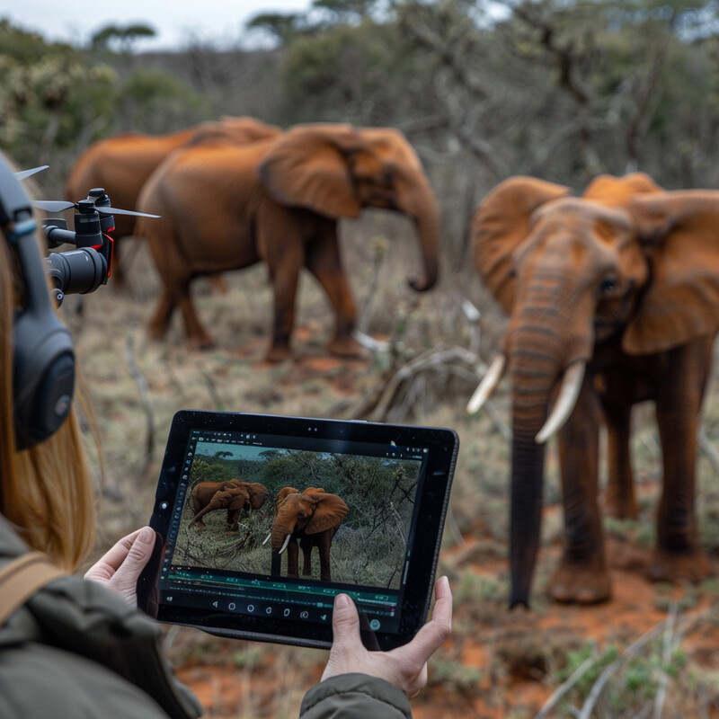
Automated identification matters most where image review is the bottleneck. AI is strongest when it can identify species or re-identify individuals at scale, while still preserving a path for experts to confirm ambiguous matches.

Wild Me's current platform shows how mature this category has become: its Wildbook systems support more than 250 species, more than 1.4 million sightings, and roughly 280,000 individually tracked marine and terrestrial animals. NOAA's 2024 Happywhale feature shows the same pattern in the marine realm, where artificial intelligence-based image recognition matches humpback whale tail photos from hundreds of thousands of public and research images, with scientists still reviewing and confirming matches. Inference: the most useful identification systems are collaborative re-identification workflows, not fully automated black boxes.
2. Population Monitoring
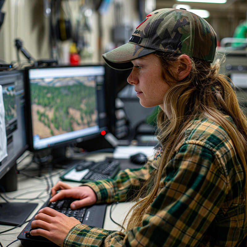
Population monitoring improves when AI expands survey coverage without sacrificing review quality. Satellites, drones, and digital aerial surveys now let teams count animals over areas that would otherwise be too large, remote, or expensive to cover repeatedly.
NOAA's 2026 GAIA initiative is building a cloud application to detect whales and other marine mammals in very high resolution satellite imagery, with an emphasis on endangered North Atlantic right whales and Cook Inlet belugas. A 2025 Oxford-led study then showed the terrestrial version of that future by using AI-powered satellite surveys to detect and count migratory wildebeest across more than 4,000 square kilometers in the Serengeti, with F1 scores above 0.8 and follow-on work now extending toward rhinos. Inference: AI-backed census systems are becoming realistic once expert annotation, geospatial tooling, and repeat satellite or aerial acquisition are treated as one workflow.
3. Behavior Analysis
Behavior analysis is where wildlife telemetry becomes more than a dot on a map. AI can convert accelerometers, GPS tracks, and tag streams into interpretable behaviors, but only if the models are benchmarked carefully and trained on defensible labels.

The 2024 BEBE benchmark in Movement Ecology compared machine-learning approaches across nine animal-borne tag datasets and found that deep neural networks outperformed classical methods, with self-supervised learning especially strong when labeled training data were scarce. USGS reached a similar practical conclusion in California condors, where a 2023 evaluation showed supervised methods were more suitable than unsupervised approaches for identifying specific behavior types from accelerometry. Inference: behavior modeling is maturing from custom one-off scripts into benchmarked, transferable pipelines for time-series analysis.
4. Habitat Analysis
Tracking data becomes more valuable when it is connected to habitat and environmental context. AI helps by linking movement records to ocean conditions, vegetation, land use, and other predictors so managers can see not only where animals went, but why those places matter.
NOAA's WhaleWatch tool combines satellite-tagged whale movements with environmental data such as sea-surface temperature, chlorophyll, and wind to produce near-real-time hotspot maps that ship captains can use to avoid blue whale concentrations. On land, USGS's January 12, 2026 caribou tracking release makes the management logic explicit: tracking devices are used to determine locations across annual cycles, understand habitat use, quantify behaviors, and identify repeatedly used places that may be important to species and populations. Inference: habitat analysis is becoming a live spatial product that joins movement, environment, and action thresholds instead of remaining a retrospective map exercise.
5. Illegal Activity Detection
Illegal activity detection is strongest when AI changes ranger timing, not just reporting. The important technical step is edge or near-real-time screening that identifies people, vehicles, or suspicious events fast enough for patrol teams to respond.

TrailGuard's latest 2025 transition into Nightjar underscores that this category has moved beyond prototypes: the system distinguishes wildlife, people, and vehicles and sends real-time alerts from remote habitats to help reduce poaching and conflict. SMART provides the broader operational context, now describing deployments at around 1,000 sites in more than 70 countries, with examples such as Queen Elizabeth National Park in Uganda where improved patrol effectiveness produced illegal-activity detections that in some cases rose by more than 250 percent without increasing ranger resources. Inference: anti-poaching AI is most credible when edge detection is tied directly to patrol software, reporting, and protected-area management routines.
6. Health Monitoring
Wildlife health monitoring improves when AI can connect unusual movement, mortality, pathology, and disease exposure signals early enough to guide follow-up. The strongest systems treat health as both an animal-level and ecosystem-level monitoring problem.

The 2025 Journal of Applied Ecology "death detector" study showed how far this idea can go: machine learning on vulture accelerometry, GPS clustering, and field validation achieved high-performance carcass detection and was explicitly framed as useful for disease outbreaks, environmental poisoning, and illegal killing of wildlife. USGS's 2025 fish and wildlife AI overview points to the same trend from the agency side, highlighting near-real-time predictive maps of waterfowl species known to transmit influenza A virus and AI-assisted blood-cell analysis for fish health assessment. Inference: AI health monitoring is becoming a surveillance layer that links movement ecology, disease risk, and field response rather than a narrow clinical tool.
7. Predictive Modeling
Predictive models become useful in conservation when they can trigger a concrete action such as rerouting ships, sending a ranger team, or warning communities about likely conflict. That is where AI shifts from analysis into operations.

WhaleWatch is a good example of a conservation forecast that already supports action: it uses tagged-whale histories plus current ocean conditions to predict likely blue whale hotspots in near-real time for vessel avoidance. EarthRanger shows the terrestrial counterpart, with geofences and alerts that allow Liwonde's security team in Malawi to intervene when elephants cross monitored boundaries before crop raids escalate. Inference: the strongest wildlife prediction systems are really decision-support systems that expose risk early enough for a response, not just models that maximize accuracy on historical data.
8. Genetic Analysis
AI is making conservation genomics more operational by helping teams move from raw sequences to early risk assessment, breeding guidance, and targeted recovery decisions. The point is no longer just sequencing more genomes, but using them well.

The 2023 Science Zoonomia paper showed that genomic information from 240 placental mammals could help predict conservation status even where adequate census or ecological data are lacking. For an intensely managed species, the 2023 Nature Ecology & Evolution kakapo study showed how species-wide genomics can go further by identifying associations for growth, disease susceptibility, clutch size, and egg fertility while generating breeding values to support recovery planning. Inference: AI-assisted genomics is shifting from broad comparative insight toward management-relevant prediction for endangered populations.
9. Acoustic Monitoring
Acoustic monitoring is one of the clearest places where AI has already become routine. Once models are strong enough, massive passive-audio collections can be turned into species detections, migration signals, and long-running biodiversity records that would be impossible to review manually.
BirdNET now recognizes more than 6,000 species globally and provides open-source workflows for large-scale passive acoustic monitoring, low-power deployments, and citizen-science contributions. NOAA's beluga work shows the marine side of the same shift, describing the first machine-learning application for acoustic monitoring of endangered Cook Inlet beluga whales. Inference: acoustic AI has become strong not only because models improved, but because the surrounding tooling now supports everything from research pipelines to public recording apps and privacy-aware edge inference.
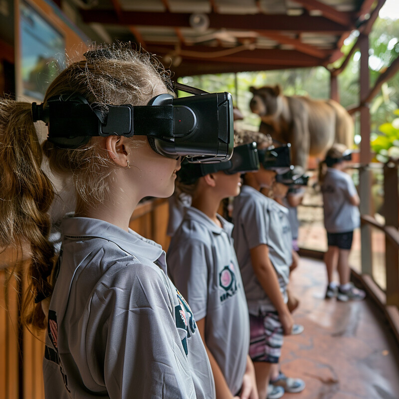
10. Conservation Education and Awareness
Public-facing AI helps conservation most when it turns curiosity into usable observations and scientific literacy. The strongest education tools do not stop at novelty; they help more people notice species, understand evidence, and contribute data that can support real conservation work.
iNaturalist's January 2026 updates reported more than 4 million observers and nearly 300 million observations supporting almost 7,000 peer-reviewed papers and ongoing conservation efforts around the world. BirdNET's current K-12 program shows the education side more directly, with classroom tools that teach students to connect birds, habitat protection, acoustics, and AI while contributing real data to the global BirdNET database. Inference: conservation-awareness platforms become infrastructure when they combine identification help, data contribution, and evidence-based learning instead of treating awareness as a separate activity from science.
Sources and 2026 References
- Conservation X Labs: Wild Me Lab
- NOAA Fisheries: A.I. Sorts Public Photos to Show Recovering Pacific Humpback Whales Hit Climate Ceiling
- NOAA Fisheries: Geospatial Artificial Intelligence For Animals
- University of Oxford: AI satellite survey challenges long-standing estimates of Serengeti wildebeest numbers
- USGS: A benchmark for computational analysis of animal behavior, using animal-borne tags
- USGS: Evaluating Machine Learning Tools for Analyzing Accelerometry Data from California Condors
- NOAA Fisheries: WhaleWatch
- USGS: Tracking Data for Caribou (Rangifer tarandus granti)
- RESOLVE: Introducing Nightjar and the Future of TrailGuard
- SMART Conservation Software: Impact
- Journal of Applied Ecology: Death detector: using vultures as sentinels to detect carcasses by combining bio-logging and machine learning
- USGS: Artificial Intelligence in the USGS Ecosystems Mission Area - Fish and Wildlife
- EarthRanger: Using Location Monitoring to Reduce Human Wildlife Conflict
- Science: The contribution of historical processes to contemporary extinction risk in placental mammals
- Nature Ecology & Evolution: Species-wide genomics of kakapo provides tools to accelerate recovery
- BirdNET: AI-Powered Sound ID
- NOAA Fisheries: Using Artificial Intelligence To Identify Endangered Beluga Whales
- iNaturalist: Impact Highlights from 2025
- BirdNET: K-12 Resources
Related Yenra Articles
- Bioacoustics Research Tools goes deeper on the acoustic-detection layer behind wildlife surveys.
- Ecological Niche Modeling connects tracking data to habitat-suitability and range prediction.
- Natural Habitat Restoration shows how movement and monitoring data can guide where restoration is most likely to help.
- Environmental Monitoring adds the broader sensing and change-detection context around wildlife conditions.
- Ocean Exploration extends these tracking and sensing ideas into marine research operations.
- Geospatial Analysis adds the mapping and spatial workflow that many wildlife systems depend on.