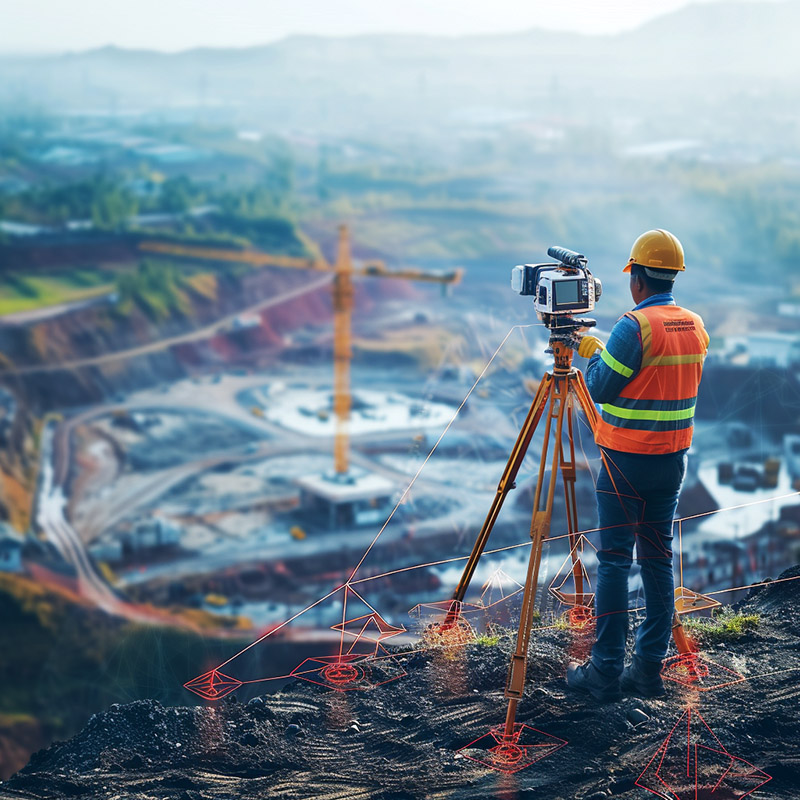
Site Surveying and Mapping with GPS - Image Index A construction worker standing on a hill, overlooking a large construction site. He is wearing an orange safety vest with reflective stripes and a yellow hard hat, indicating that he is likely working in a hazardous environment. The worker is holding a camera mounted on a tripod, suggesting that he is documenting the progress of the project or conducting some sort of survey. In the background, there are several buildings under construction, including what appears to be a large warehouse or factory. There are also several cranes and other heavy machinery visible, which suggests that the site is an active construction zone. The overall atmosphere of the image is one of industriousness and productivity, as the worker is focused on his task and the surrounding environment is bustling with activity.