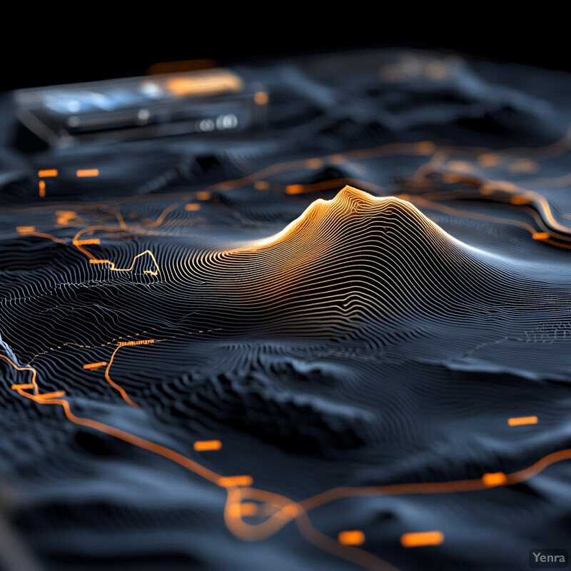
Integrating Meteorological and Atmospheric Models 3 - Image Index | 20 Ways AI is Advancing Volcano Eruption Risk Assessment Topographical Map Analysis: A 3D topographical map with a dark blue background, featuring orange lines and dots that represent various data points or features. The map's surface is contoured with black lines, creating a sense of depth and dimensionality. In the center of the image, a prominent mountain range dominates the landscape, its peaks and valleys rendered in intricate detail. The surrounding terrain appears rugged and varied, with numerous small hills and valleys scattered throughout. Along the edges of the map, several objects are visible, including what appear to be buildings or structures, as well as some sort of machinery or equipment. These objects are depicted in a lighter shade of blue than the rest of the map, making them stand out against the darker background. Overall, the image conveys a sense of complexity and detail, suggesting that it may be used for scientific or educational purposes.