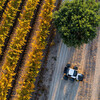
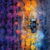
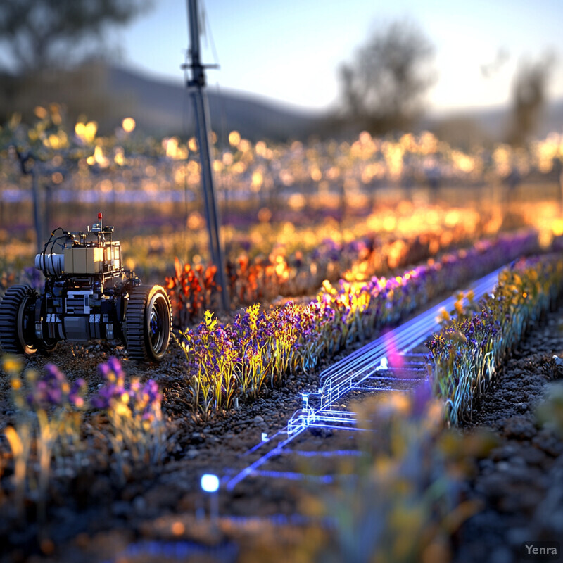
Vineyard Mapping and Zoning 1 - Image Index | 20 Ways AI is Advancing Vineyard Monitoring Robots Vineyard Mapping and Zoning System in Action: A vineyard mapping and zoning system in use. The scene is set outdoors, with rows of grapevines stretching into the distance. A small, wheeled robot is visible on the left side of the image, equipped with various sensors and tools that allow it to gather data about the vines. The robot appears to be moving along a row, leaving behind a trail of blue lines that indicate its path. These lines are likely used to create a map of the vineyard, which can then be analyzed to optimize planting, pruning, and harvesting practices. In addition to the robot, there are several other objects visible in the image, including a small building or shed in the background and what appears to be a person standing near the edge of the field. The overall impression is one of modern technology being used to improve agricultural productivity.