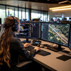
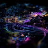
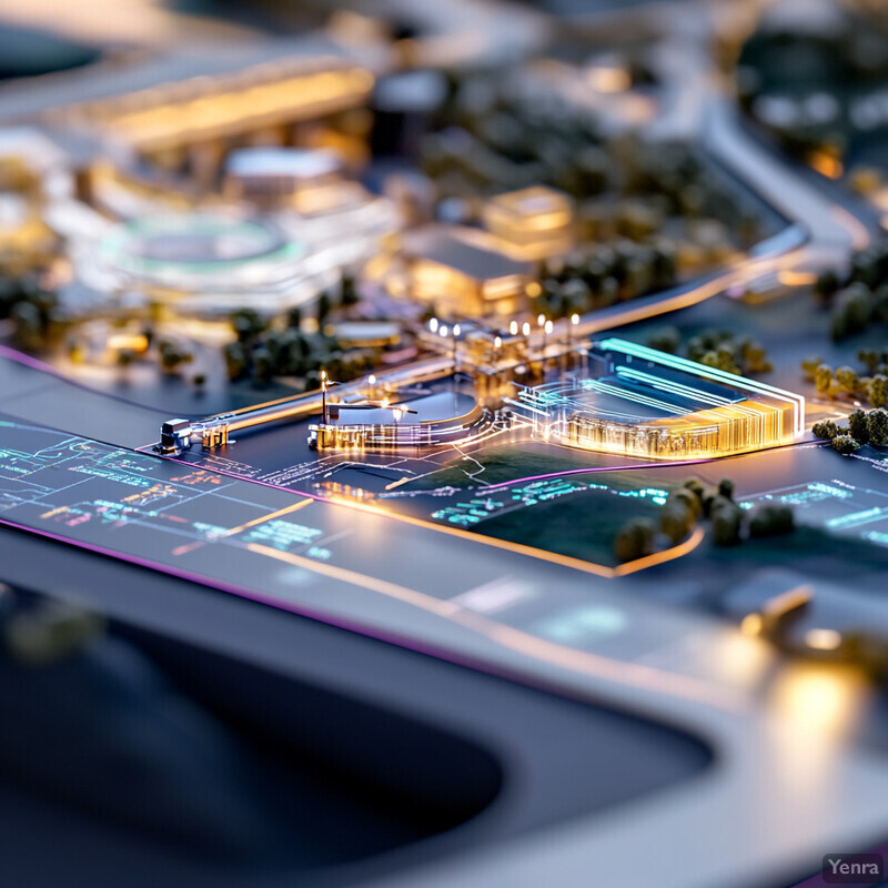
Route Optimization and Planning 1 - Image Index | 20 Ways AI is Advancing Hyperloop System Design Urban Planning Model at Night: A 3D model of a city or town, with various buildings and roads visible. The scene is likely set at night, as the majority of the objects are illuminated by streetlights. In the foreground, there are several large buildings that appear to be commercial or residential structures, while in the background, there are smaller houses and trees scattered throughout the landscape. There are no people or vehicles present in this image, suggesting it may be a simulation or model rather than a real-world photograph. Overall, the overall impression is one of urban planning and development, with an emphasis on infrastructure and architecture.