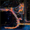
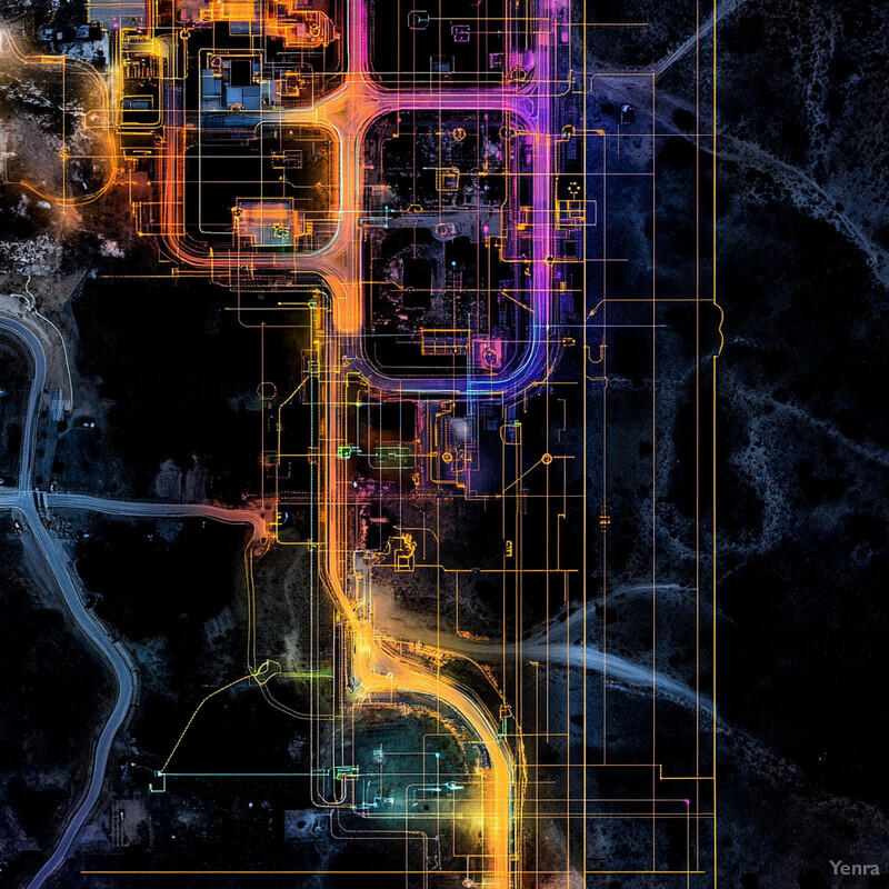
Automated Route Planning 2 - Image Index | 20 Ways AI is Advancing Autonomous Infrastructure Inspections Industrial Area Aerial View: An aerial view of a large industrial area, likely situated in a remote location due to the lack of surrounding infrastructure. The terrain appears to be flat and featureless, with no visible vegetation or natural landmarks. The industrial facilities are densely packed together, with several buildings and structures scattered throughout the area. A network of roads and pathways connects these facilities, with some areas appearing to be under construction or renovation. The image suggests a high level of activity and production in this industrial zone, possibly related to manufacturing, processing, or storage operations.