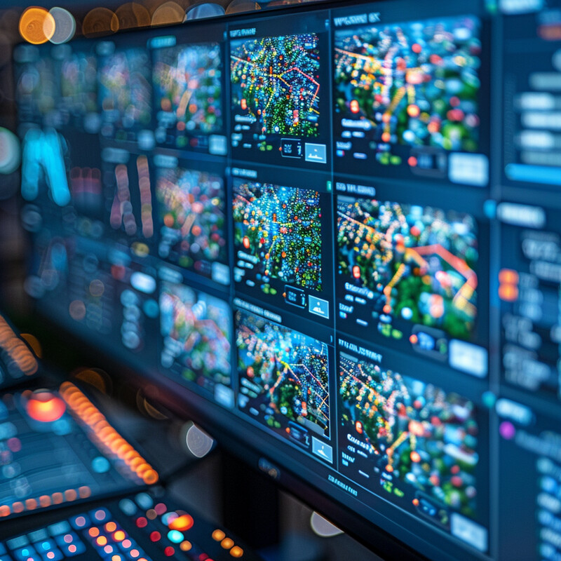
Public Safety and Security 1 - Image Index | 10 Ways AI is Improving Urban Planning Tools Real-time Data Monitoring System: A large screen displaying multiple maps with various colors and symbols. The screen is divided into several sections, each showing a different map or data set. Some of the maps appear to be topographical, while others seem to represent traffic patterns or other types of data. There are also some symbols and icons on the screens that may indicate different types of information or alerts. Overall, the image suggests that this is a control room or monitoring center where people can track and analyze various types of data in real-time.