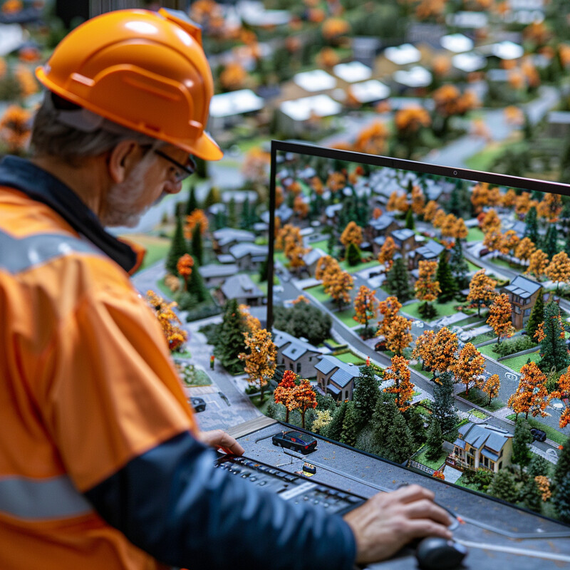
Enhanced Accuracy of GIS Data 1 - Image Index | 10 Ways AI is Improving Geospatial Analysis Planning and Building Communities with Attention to Detail: An older man wearing a hard hat and orange safety vest, intently focused on a computer screen displaying a miniature model of a neighborhood. The man has gray hair and is dressed in an orange safety vest with reflective strips over a dark blue long-sleeved shirt, complemented by black-framed glasses. He stands at the edge of the frame, facing left towards the miniature model. The miniature model itself features numerous small houses, trees, and roads, all meticulously crafted to resemble a real neighborhood. It is unclear whether the man's role is related to construction or maintenance. The image conveys a sense of attention to detail and precision in planning and building communities. The miniature model serves as a tool for visualizing and understanding complex urban development projects, allowing individuals to explore different design options and make informed decisions. In summary, the image showcases an older man working with a miniature model of a neighborhood on a computer screen, highlighting his attention to detail and dedication to planning and building communities.