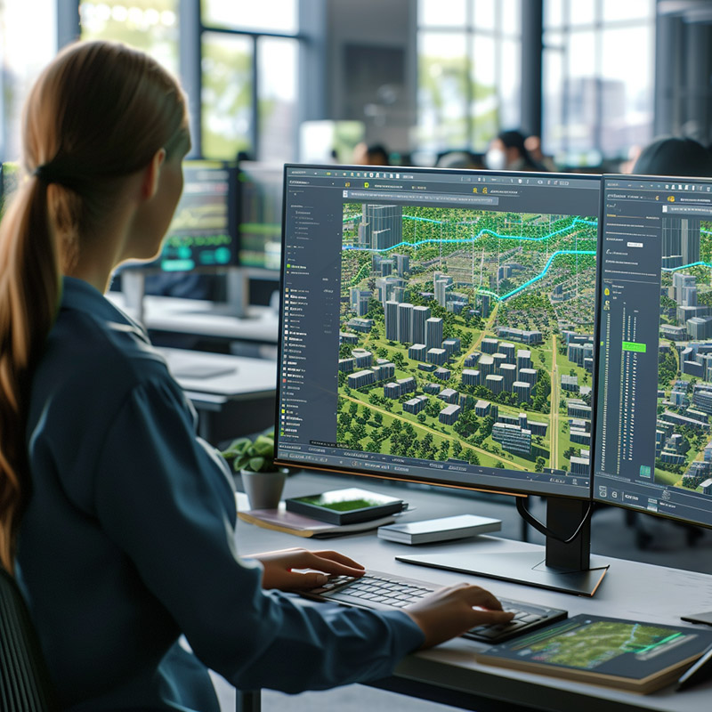
Parametric Urban Planning Visualization - Image Index A woman sitting at a desk in an office setting, intently focused on her computer screen. She has long brown hair tied back in a ponytail and is wearing a blue shirt. Her right hand is positioned on the keyboard, while her left hand rests on the mousepad. The monitor displays a 3D rendering of a cityscape with green trees and buildings, suggesting that she may be working on a project related to urban planning or architecture. In front of her lies an open notebook, likely containing notes or ideas for her work. The overall atmosphere is one of concentration and creativity, as the woman is fully immersed in her task.